Death Valley’s Most Remarkable Landscapes
Death Valley rewards visitors who get out of the car. These three walks access the park’s most surreal and diverse terrain — from a salt flat 86 metres below sea level to sand dunes that glow at golden hour. All are best done in the cool months.
Badwater Basin Salt Flats
A short, flat walk across what was once a shallow lake and is now a vast field of crystallised salt, 86 metres below sea level — the lowest point in North America. The salt crust crunches and fractures under your feet as you walk. Hexagonal salt polygons stretch in every direction to where the dark valley walls rise. There is nothing else quite like this surface on Earth.
Tip: Walk at least 1.5 km out from the boardwalk to reach the most intact salt polygon formations. The crowd thins quickly as you walk further from the car park.
Mesquite Flat Sand Dunes
The Mesquite Flat Dunes rise to about 30 metres and shift constantly in the wind. There is no marked trail — you simply walk out into them and explore. At sunrise and sunset the low light carves sharp shadows along the ridge lines, and the dunes turn apricot and gold. Hiking in sand is physically harder than it looks, so pace yourself. The views back toward the Panamint Mountains are outstanding.
Tip: Sunrise is the best light by far and draws photographers from across the park. Sleep at Stovepipe Wells campground if you want to walk to the dunes in the dark and be in position for first light.
Zabriskie Point + Golden Canyon
This hike combines two of Death Valley’s most iconic viewpoints in a single route. Start at Zabriskie Point — the classic eroded badlands panorama — and descend through the golden and red mudstone formations into Golden Canyon, passing the Red Cathedral formation en route. The colour of the rock is extraordinary: mustard yellow, deep ochre, and russet red layered through the badland walls.
Tip: Do this hike in the morning — start at Zabriskie Point at sunrise for the most dramatic light, then hike down into Golden Canyon as the sun rises. Park at Zabriskie and arrange a pick-up or second car at the Golden Canyon trailhead to avoid retracing your steps.
Guided Experiences in Death Valley
Death Valley is the hottest, driest, and lowest place in North America — but it's also surprisingly hikeable in the cooler months. Star tours, sand dune photography, and guided 4WD exploration reach areas inaccessible by paved road.
Dark sky stargazing tour
Guided night astronomy at one of the darkest sky zones in the continental US. Telescope and binocular viewing of Milky Way core, nebulae, and planets from the salt flats of Badwater Basin (−86m).
Book star tour →Dunes and salt flat sunrise tour
Guided sunrise photography tour to Mesquite Flat Sand Dunes and the Badwater Basin salt flat. Best light is 30–60 minutes after sunrise. Dune patterns are most defined in early morning before foot traffic.
Book photo tour →Off-road 4WD backcountry tour
Full-day guided 4WD tour into Death Valley's backcountry: Racetrack Playa (the moving rocks), Ubehebe Crater, and the Eureka Dunes. 150km of unpaved roads in a high-clearance 4x4. Lunch included.
Book 4WD tour →Links go to GetYourGuide for real-time availability. Check guide certifications and cancellation policy before booking.
Death Valley does not look like it should support life. The valley floor is a cracked salt pan, the mountains on either side are stripped bare, and the air shimmers with a heat that distorts distance and scale. Yet it is one of the most visually spectacular places in North America — and in the right season, one of the most rewarding to explore on foot.
The Heat: Understanding the Risk
In July and August, air temperatures at Furnace Creek regularly exceed 49°C (120°F), and ground surface temperatures have been recorded at 94°C (201°F). The record air temperature for the entire Earth — 56.7°C (134°F) — was set here at Furnace Creek in 1913. These are not conditions where human bodies function well. Heat stroke can develop within minutes in summer without shade. The NPS website carries explicit warnings every summer when it reaches dangerous levels. The answer is not to avoid Death Valley but to visit in the right season.
The record air temperature for the entire Earth was set here at Furnace Creek in 1913. 56.7°C. There is a plaque.From October through March, temperatures are mild and hiking is genuinely pleasant — days in the low 20s C, cool nights, and a stillness to the landscape that feels extraordinary. April is still good. May is the last viable month. From June through September, visiting at all requires careful strategy: hiking before 8 am, staying near air-conditioned facilities during the day, and taking the heat seriously at all times.
Scale: Larger Than Some Countries
Death Valley National Park covers 13,650 square kilometres, making it the largest national park in the contiguous United States and larger than the entire country of Cyprus. This scale has practical implications. The drive from one end of the park to the other can take several hours. Cell service exists only in very limited areas near Furnace Creek. If your car breaks down on a remote road in summer, it can be genuinely life-threatening before help arrives. The park recommends carrying at least 4 litres of water per person at all times, keeping your fuel tank full, and filing a trip plan with someone outside the park when venturing onto unpaved roads. In October through March, the backcountry is extraordinary and largely deserted — exploring the park’s far corners rewards the prepared visitor enormously.
Stargazing: Gold Tier Dark Sky
Death Valley holds a Gold Tier designation from the International Dark Sky Association, placing it among the very best stargazing locations in the world. The combination of minimal light pollution, extremely low humidity, high altitude sites within the park, and clear nights for most of the year creates conditions where the Milky Way core is visible to the naked eye on virtually every cloudless night from October through March. Zabriskie Point after dark provides a surreal composition of badland formations under a dense star field. The Mesquite Flat Dunes are equally extraordinary — walk 30 minutes into the dunes away from the parking lot’s ambient light and you have an unobstructed 360-degree sky. The park is large enough that even modest star parties draw crowds from Las Vegas and Los Angeles, both within driving distance.
When to Go
October through March is the only window where hiking Death Valley is genuinely safe and enjoyable. Peak wildflower season occurs in late February and March in good rain years — the park explodes in colour across the valley floor in a phenomenon that draws visitors from across the world. January and February are mild, clear, and typically quiet. Summer visits should be approached with extreme caution: stick to air-conditioned viewing areas and short dawn excursions only, and never underestimate the pace at which the heat becomes dangerous.
How to get there
Fly to Las Vegas (LAS), the most common gateway — 2.5h drive northwest via NV-160 and CA-190 to Furnace Creek. Also from Los Angeles (LAX), 3.5h northeast via I-15 and CA-127. No public transport serves the park.
A car is non-negotiable. Death Valley is 13,500 km2 — larger than Connecticut. Distances between sites are vast. Fill up on fuel before entering; gas at Furnace Creek and Stovepipe Wells charges a significant premium. Download offline maps before you lose cell service.
$30 per vehicle, valid 7 days. The America the Beautiful Annual Pass ($80) covers all US national parks and pays for itself at three parks. No cell service in most areas — bring a paper map or download the NPS app offline before arrival.
Where to sleep
Furnace Creek Campground
Main campground in the valley, at 54m below sea level. Reservations from mid-October through April. Mesquite Spring campground ($14/night) offers a more remote option at higher, cooler elevation near the dunes.
Stovepipe Wells Village Hotel
Basic motel-style rooms near the Mesquite Flat Sand Dunes, with a pool, a saloon, and a general store. Good mid-range base for the north of the park, close to the dunes and Mosaic Canyon.
The Inn at Death Valley · Furnace Creek
A 1927 resort with a spring-fed pool and mountain views. The only property in the park that feels like a genuine luxury escape. The pool at dusk in winter, with the Panamint Range turning orange, is hard to beat.
Death Valley in Photos
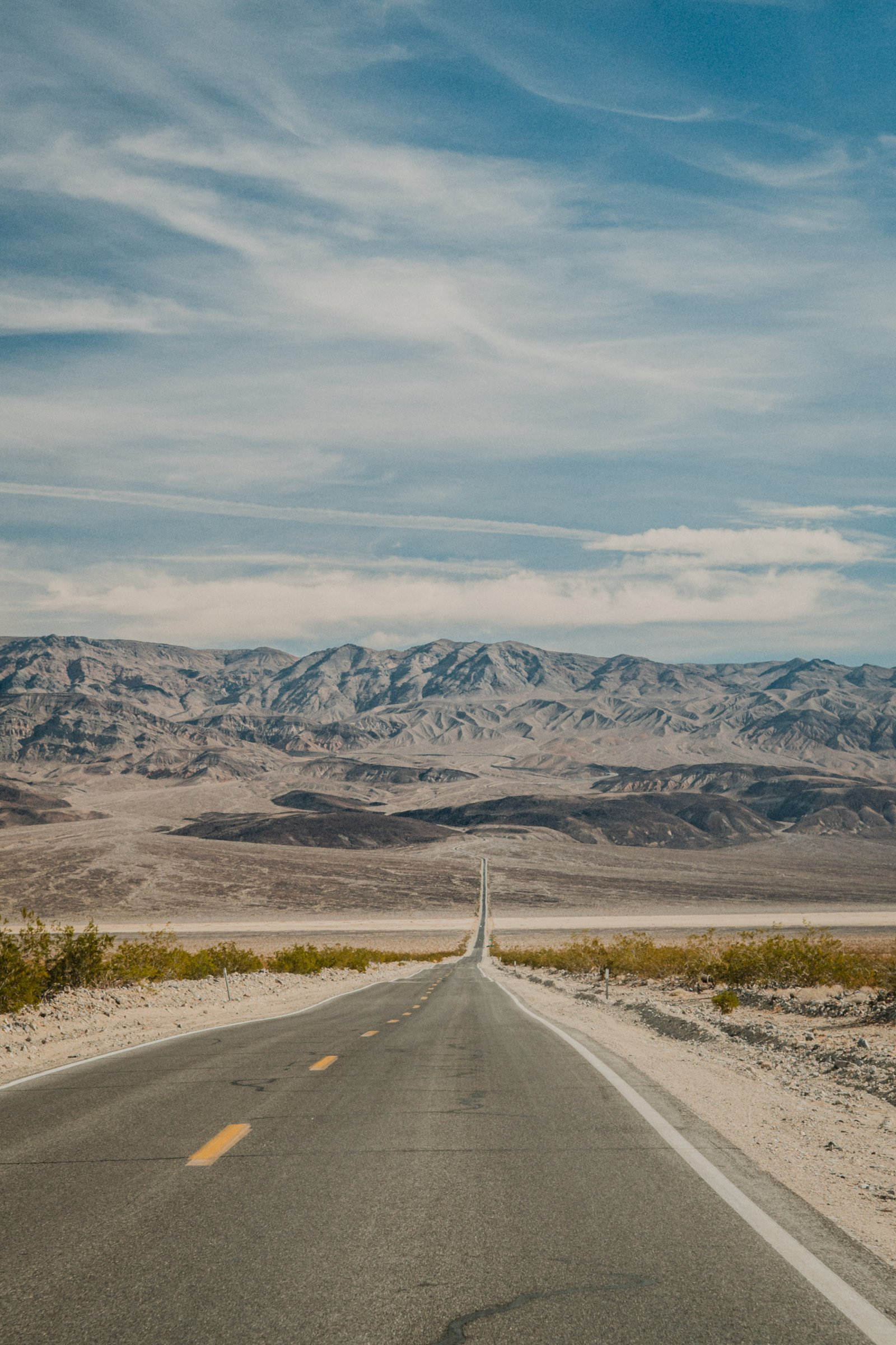
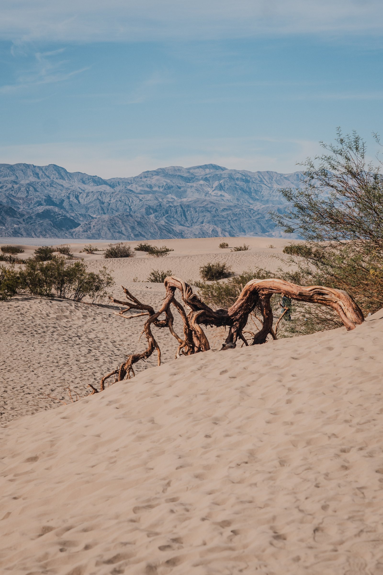
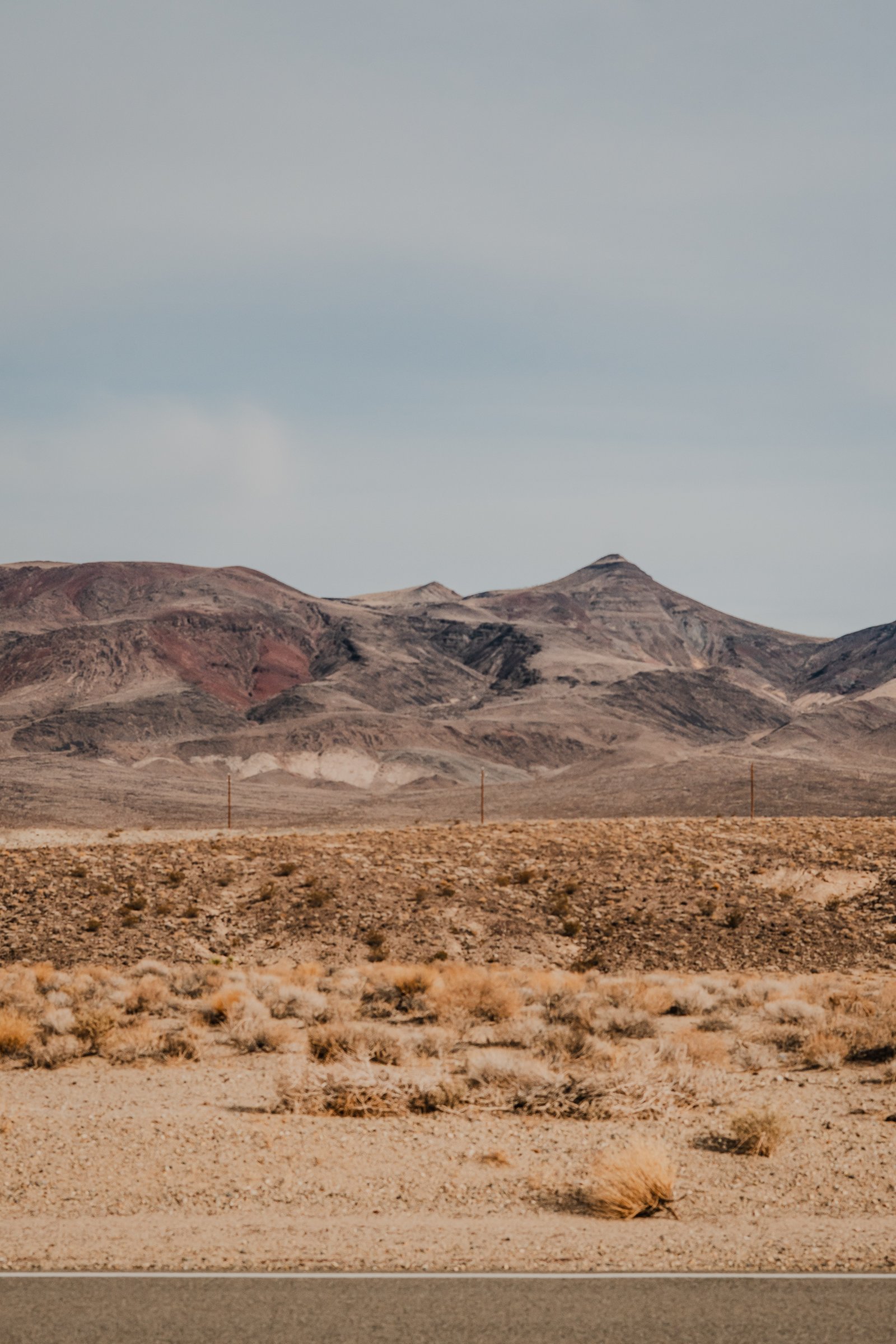
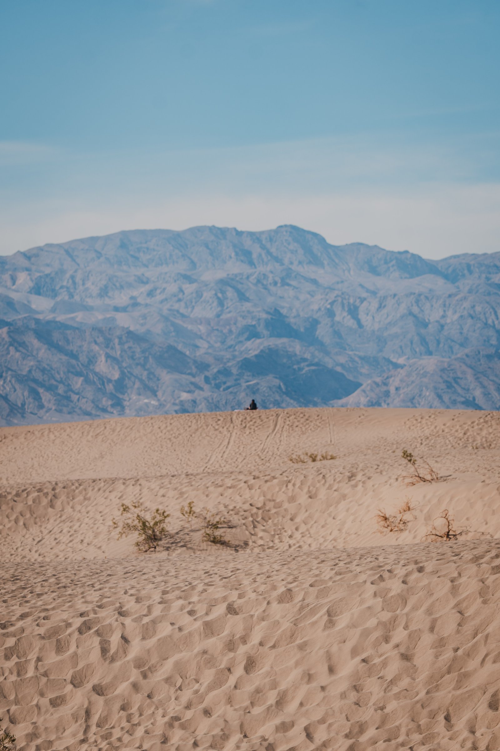
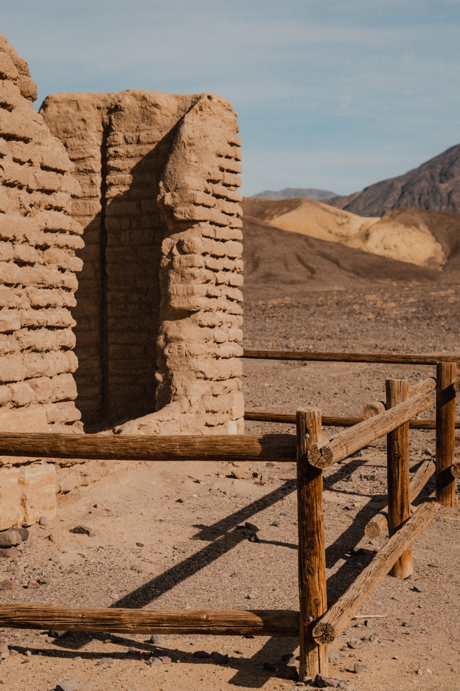
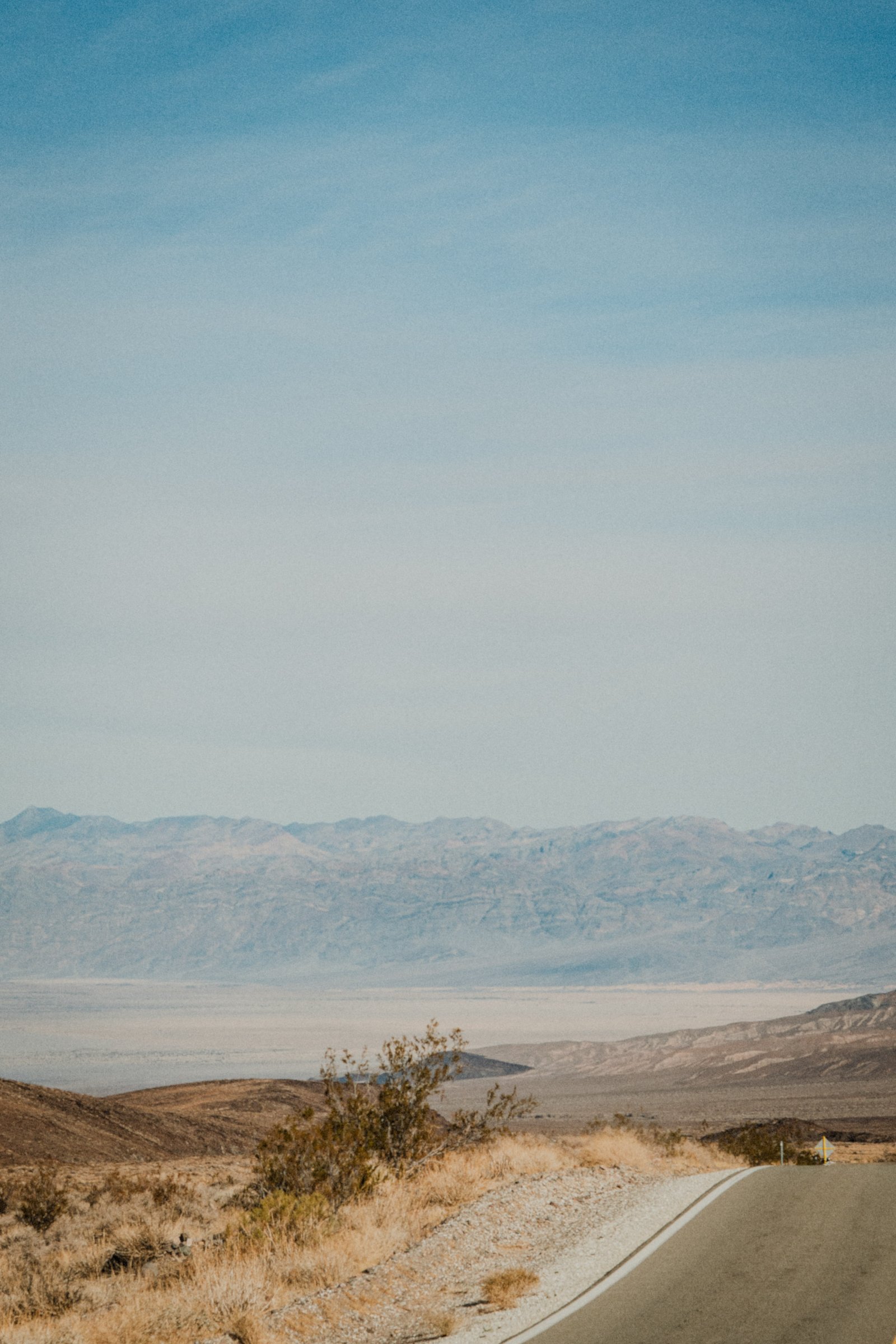
I visited Death Valley in January when the light lasts all day and the desert finally belongs to people again. These are the frames that stuck with me.
Common Questions
Technically yes, but it is not recommended for any hiking. Air temperatures regularly exceed 49°C (120°F) in July and August. Ground surface temperatures can reach 90°C. Heat stroke can develop within minutes without shade, and the nearest hospital is over an hour away. The park stays open, and some visitors do come in summer to experience the extreme heat — but they stay near air-conditioned facilities at Furnace Creek and limit outdoor exposure to the very early morning hours before 7 am. If you want to actually experience Death Valley — walk on the salt flat, hike in the dunes, explore the backcountry — come October through March. The park is completely different in cool conditions and the experience is genuinely wonderful.
Mosaic Canyon, just outside Stovepipe Wells, takes you through polished marble narrows with a very different texture from the rest of the park. Natural Bridge, off Badwater Road, is a short 2 km trail to a striking geological arch. Dante’s View at 1,669 m elevation gives you a sweeping view across the entire valley and is accessible by car. Telescope Peak (3,368 m) is Death Valley’s high point and a serious full-day hike best done November through March. The park’s sand dunes beyond Mesquite Flat — particularly the more remote Eureka and Saline Valley dunes — require backcountry driving but are extraordinary in the right conditions.
The Oasis at Death Valley (formerly Furnace Creek Inn) is the historic luxury option and one of the most extraordinary resort settings in the US — a palm-lined oasis in the middle of the hottest desert on Earth. It is expensive. Stovepipe Wells Village is a more affordable in-park option, with basic rooms and a campground. The park has nine campgrounds at various price points — Furnace Creek Campground has hookups and is reservable; others are first-come-first-served. Pahrump, NV (45 minutes east) and Beatty, NV (45 minutes northeast) are budget-friendly gateway towns for those who prefer to stay outside the park and drive in each day.
In shoulder months (April and May, or a warm October), apply the same rules as proper summer hiking. Start every hike before 9 am and finish by noon. Carry at least 4 litres of water per person and drink continuously — do not wait until you are thirsty. Add electrolyte powder to your water to replace salts. Wear light-coloured, loose, UV-protective clothing and a wide-brim hat. Stay in the shade whenever possible and rest in air-conditioning during midday hours. Tell someone outside the park your itinerary and expected return time. If you feel nauseous, confused, or stop sweating, get to air-conditioning immediately — these are signs of heat exhaustion or early heat stroke and require immediate cooling.
Yes on both. Las Vegas is about 2 hours from Furnace Creek via US-95, making a Death Valley day trip or overnight from Las Vegas very practical — many people add one or two nights in the park as a detour from a Vegas trip. Yosemite is about 3.5 to 4 hours northwest via US-395 through Bishop and the Eastern Sierra, which is a spectacular drive in its own right. A Death Valley, Eastern Sierra, and Yosemite loop is a classic California road trip that packages extraordinary geological variety into a compact itinerary. If you are combining all three, allow at least a week and prioritise driving 395 in daylight.