Gallery
Photographs from the field. Select a destination to explore.
Iguazú Falls
2.7 kilometres of falling water.
17 photographs · 4 sequences
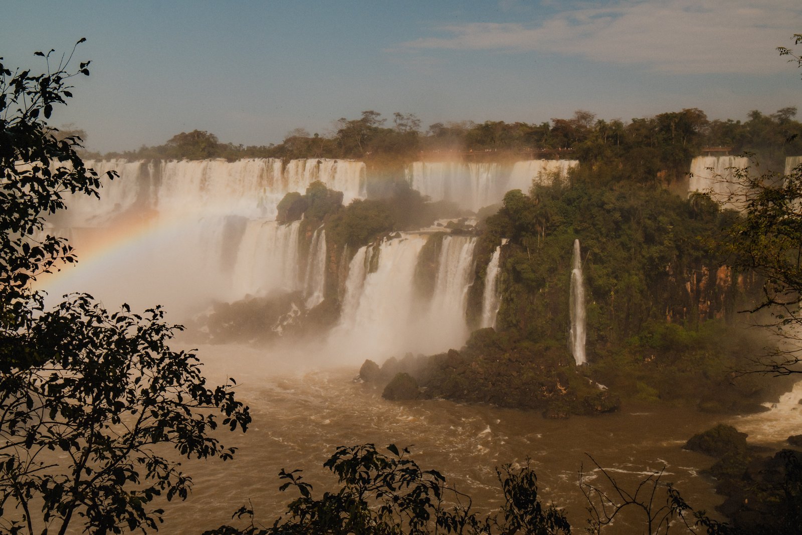
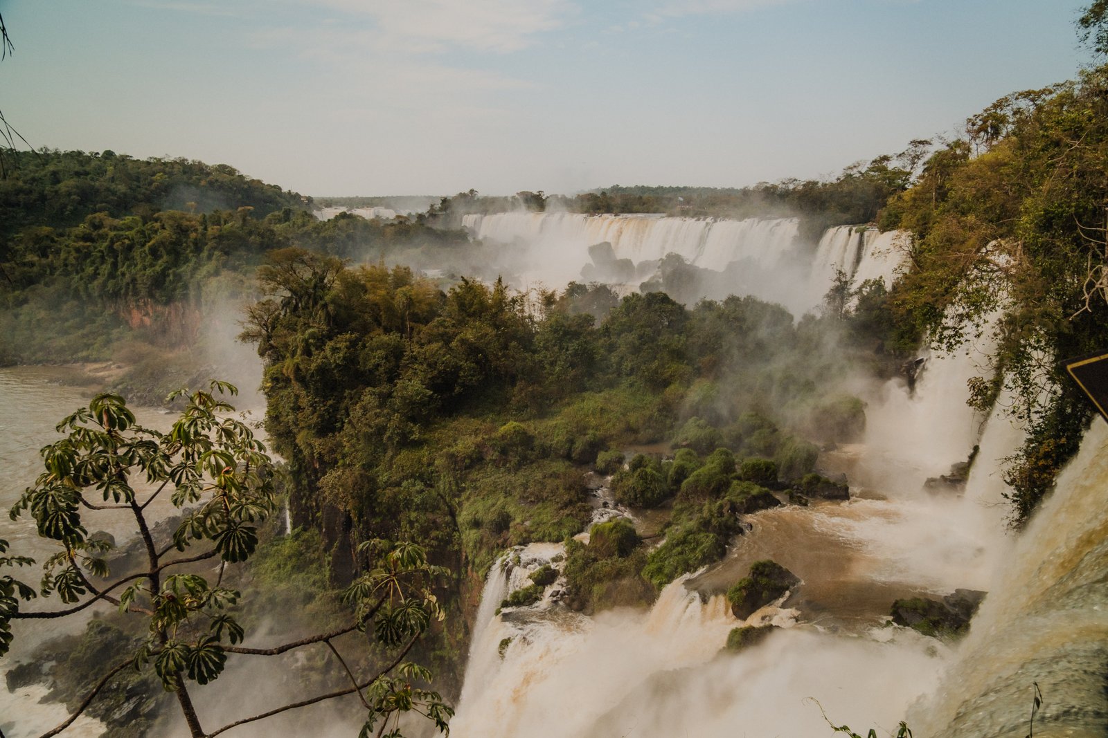
Iguazú sits on the border between Argentina and Brazil. The river drops over a basalt escarpment in 275 individual falls across a 2.7 kilometre arc. The Argentine side gives you the experience: walkways through the mist, single falls close enough to touch. The Brazilian side gives you the panorama. On the right morning, with the right light, a rainbow holds across the full width of the mist column.
The Arc
4 photographsThe full system runs 2.7 kilometres across. You cannot see it all from any single point. These four frames try to hold the scale from different distances: through the foliage, from the high lookout, and from the Brazilian side where the panorama opens up completely.
Full panorama from the Brazilian side. A rainbow across the mist column.
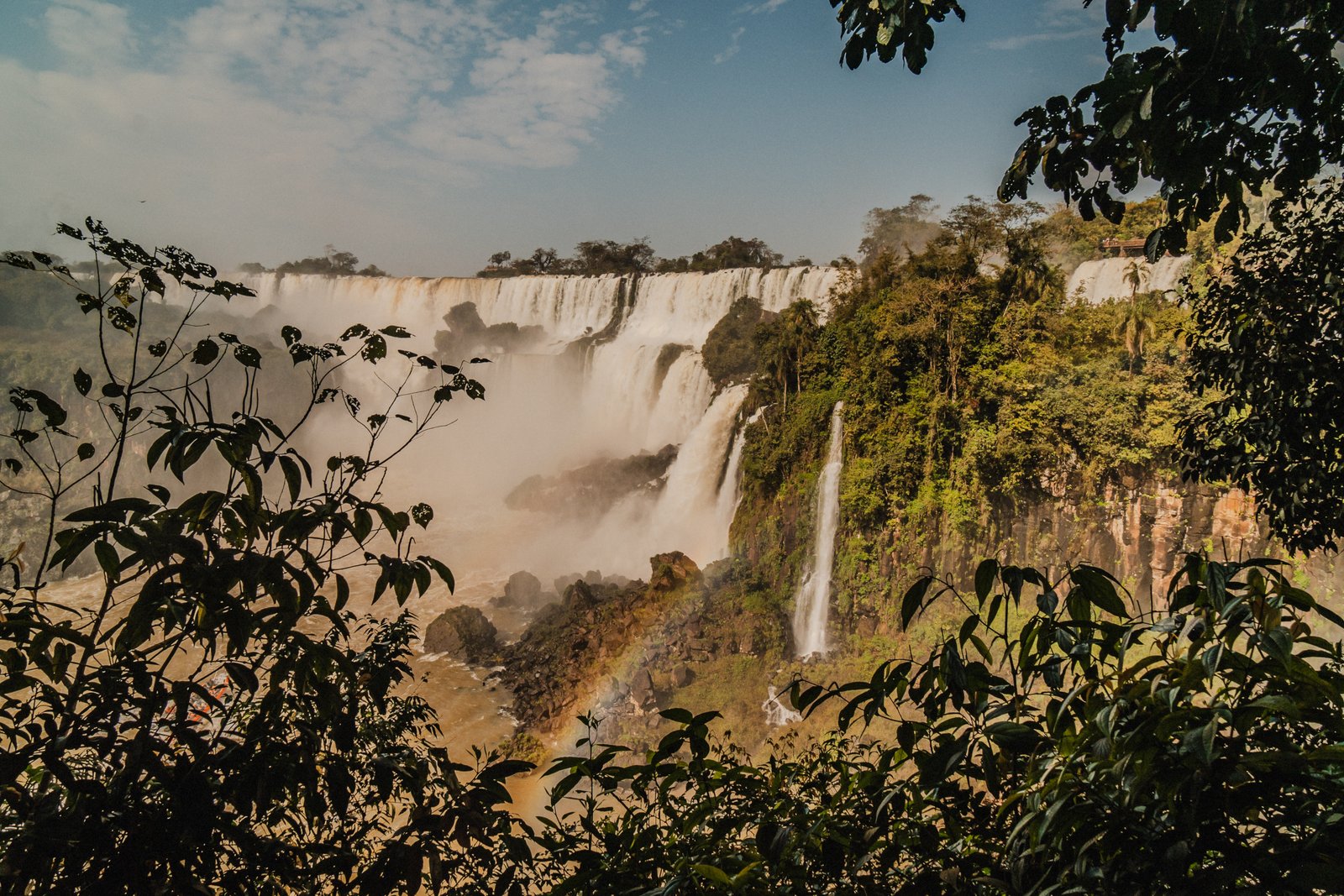
Morning light through the canopy. The falls visible through the green.
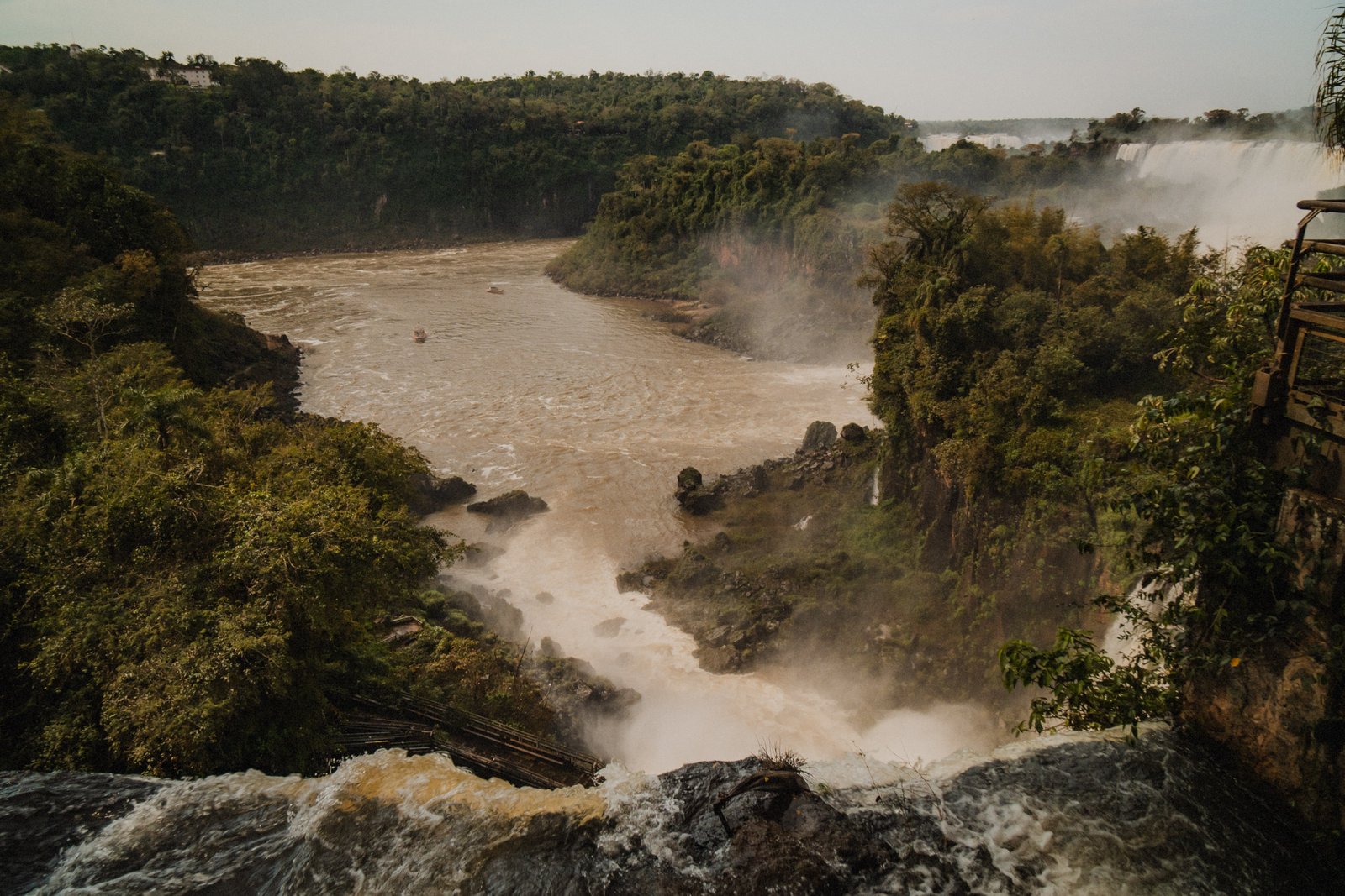
The full system from the high lookout: falls, islands, jungle, river. You still can't see all of it.
Cascades spilling over the basalt shelves, mist rising above the forest.
The River
6 photographsThe river upstream is calm and ochre-brown. Then it breaks over the rocks, picks up speed, and goes over the edge. Below the falls it's mist and chaos. The boats that take you under get you completely soaked, which is entirely the point. These six frames follow the water from the quiet stretch to the boats far below.
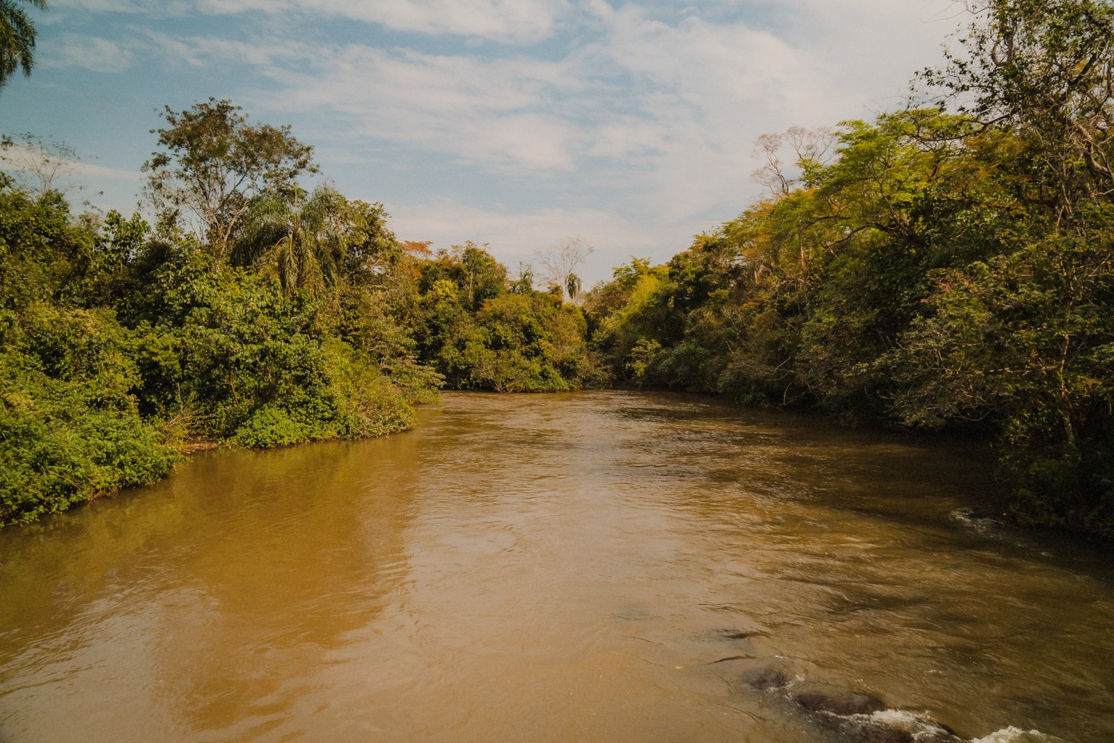
The river, wide and calm and stained brown, running between green banks.
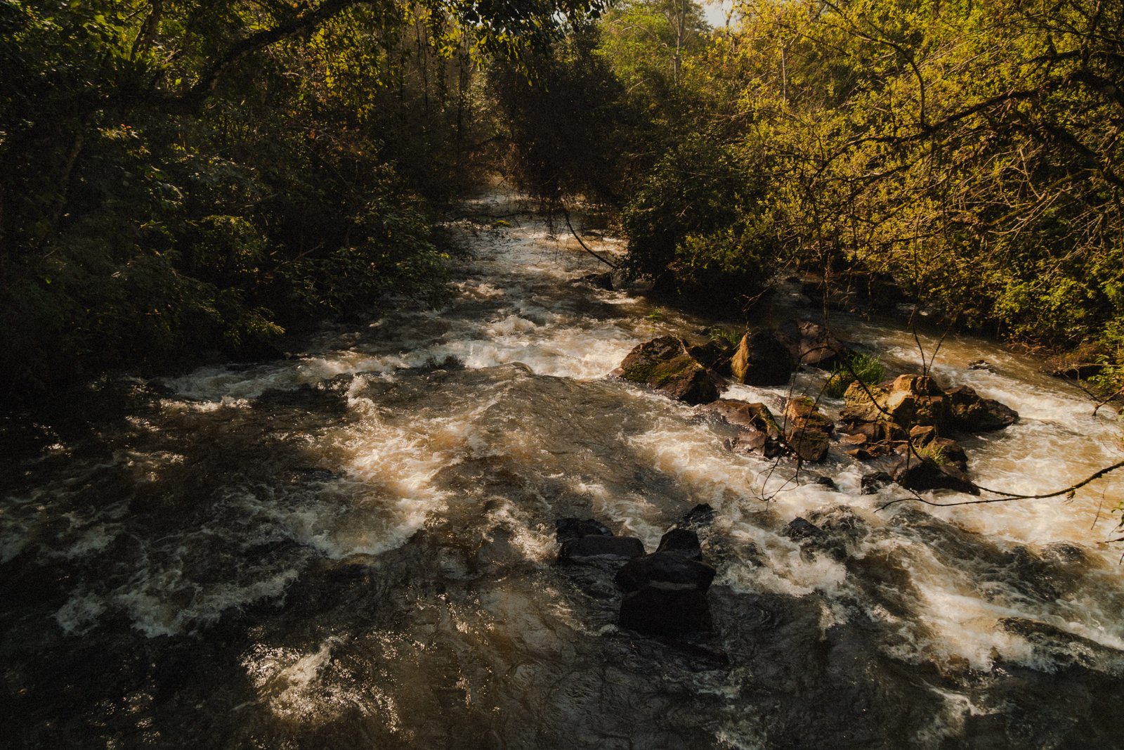
Brown river water breaking over rocks in the forest, sunlight raking across the rapids.
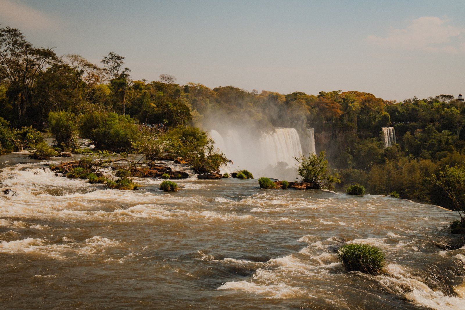
Rapids racing across the river toward the falls, mist hanging over the forest beyond.
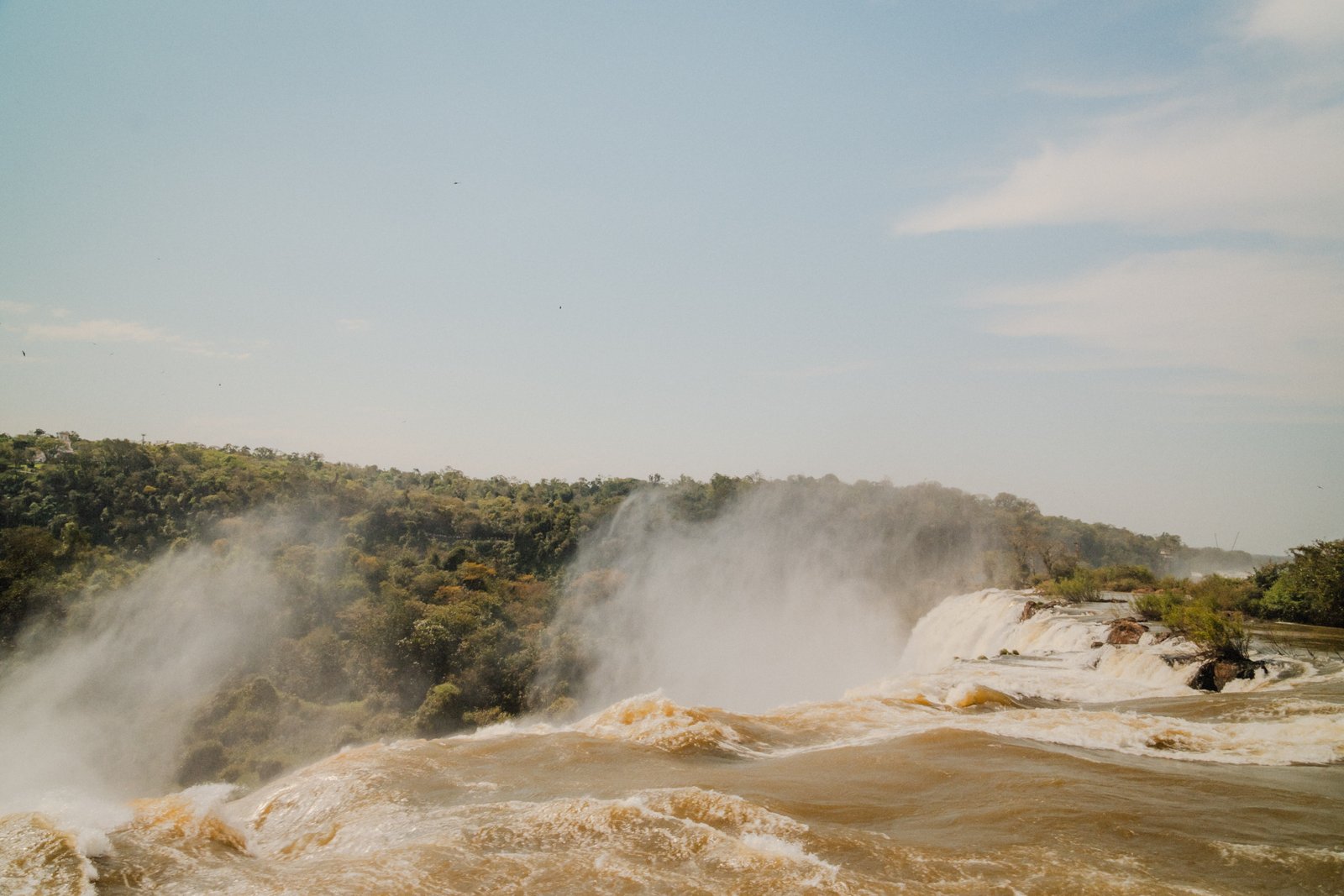
Brown water rushing toward the edge of the falls, mist rising over the tree line.
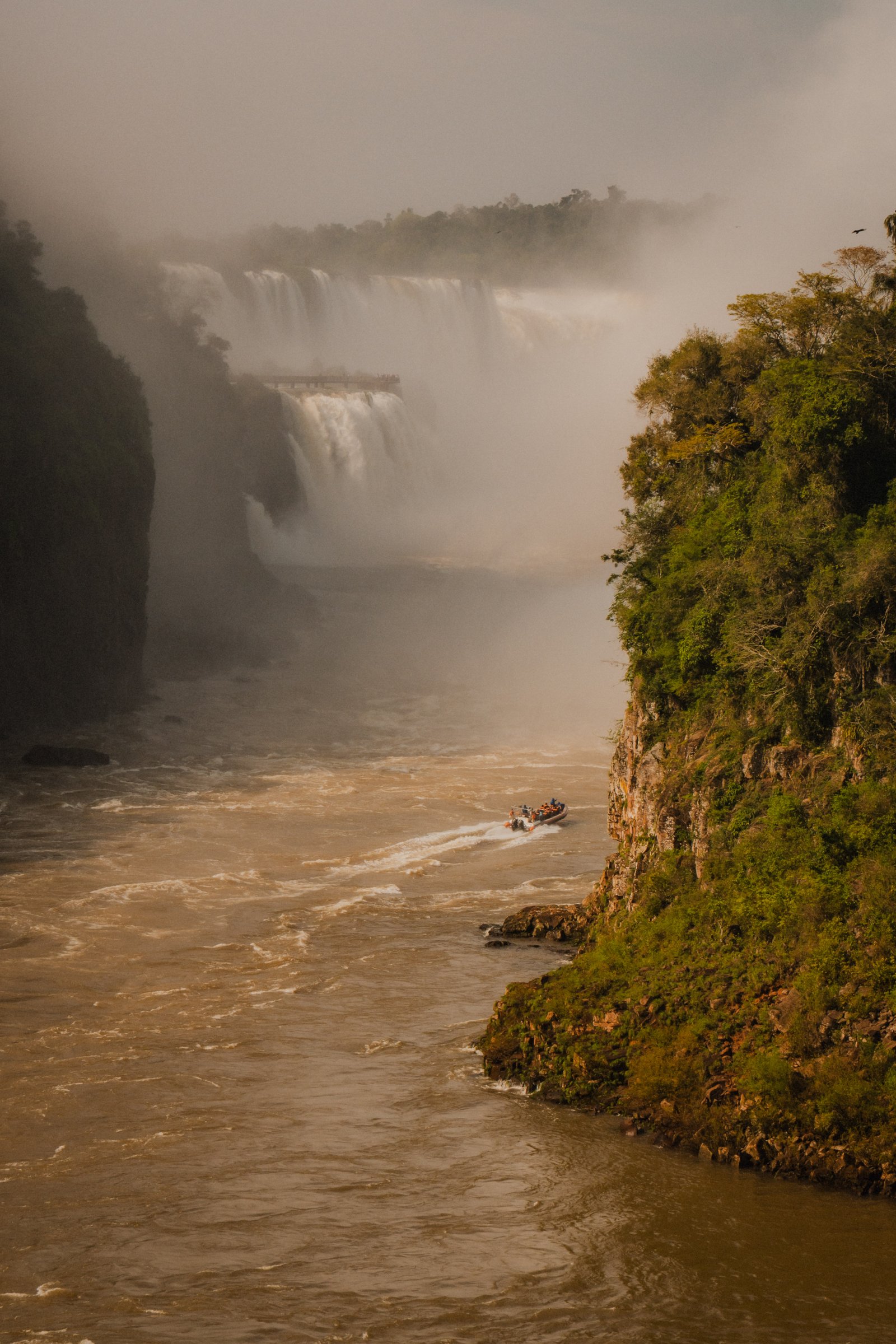
A boat in the lower circuit. The mist wall of the falls behind it. They go all the way under.
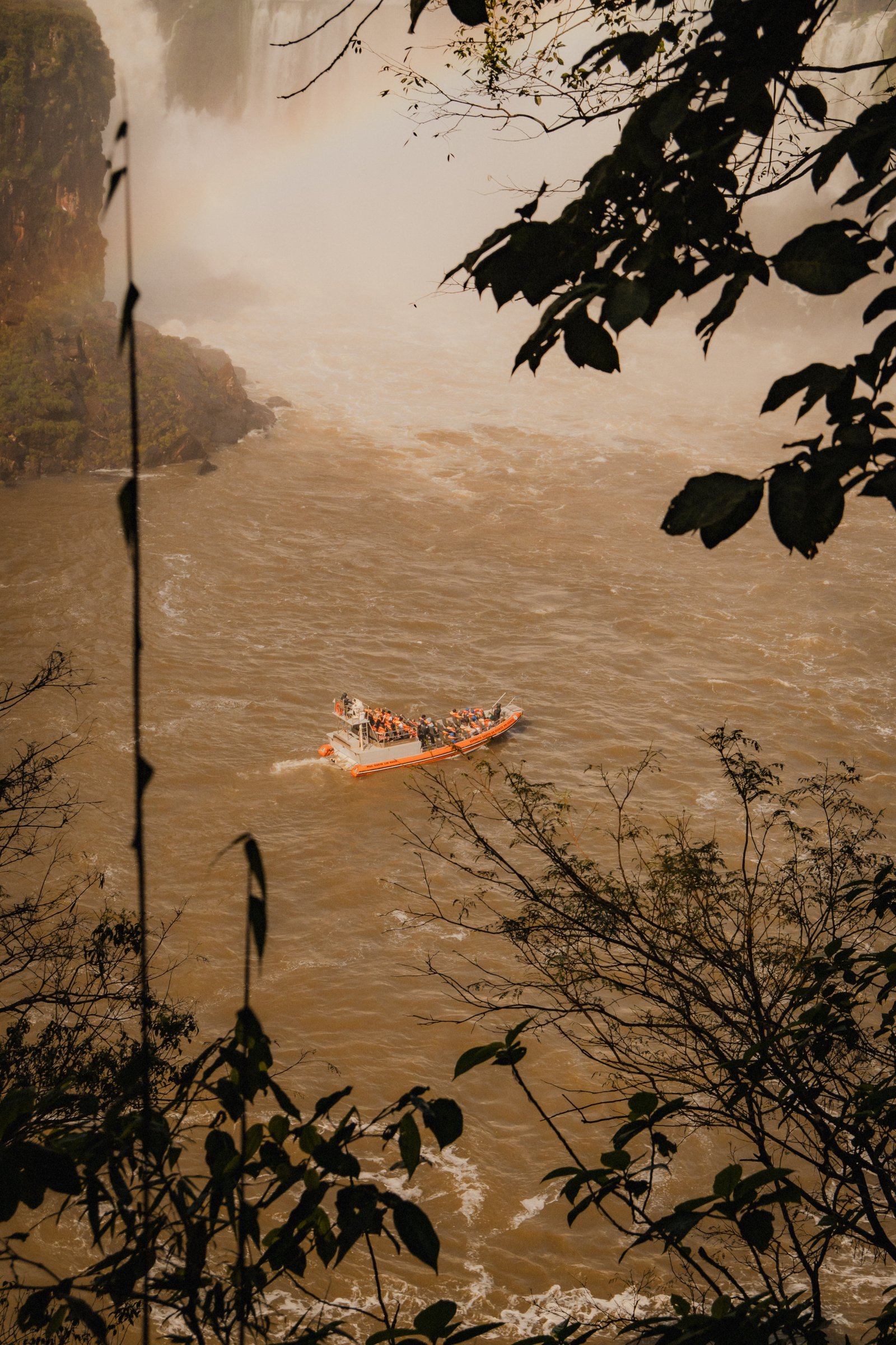
An orange raft crossing the muddy river below the falls, seen through the branches.
The Circuits
4 photographsThe Argentine circuits (upper, lower, and the walkway to Garganta del Diablo) put you within metres of individual falls. At this distance the scale disappears and only the detail remains: the colour of the basalt, the shape of the water, the brightness of the vegetation. These four frames come from the walkways and the forest around them.
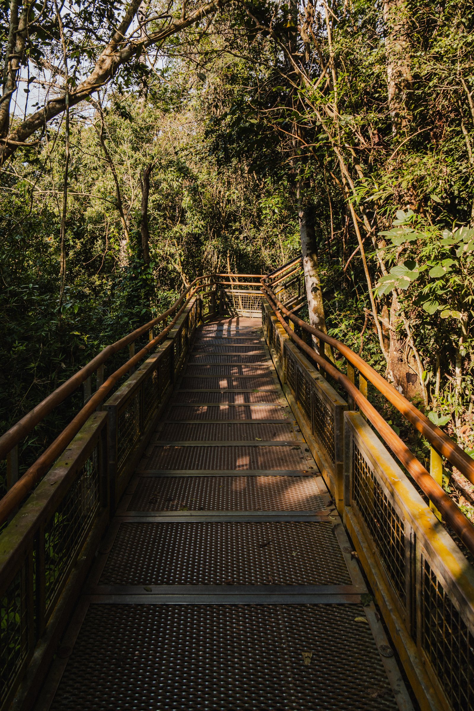
A steel walkway runs through the forest toward the falls, sun coming through the canopy.
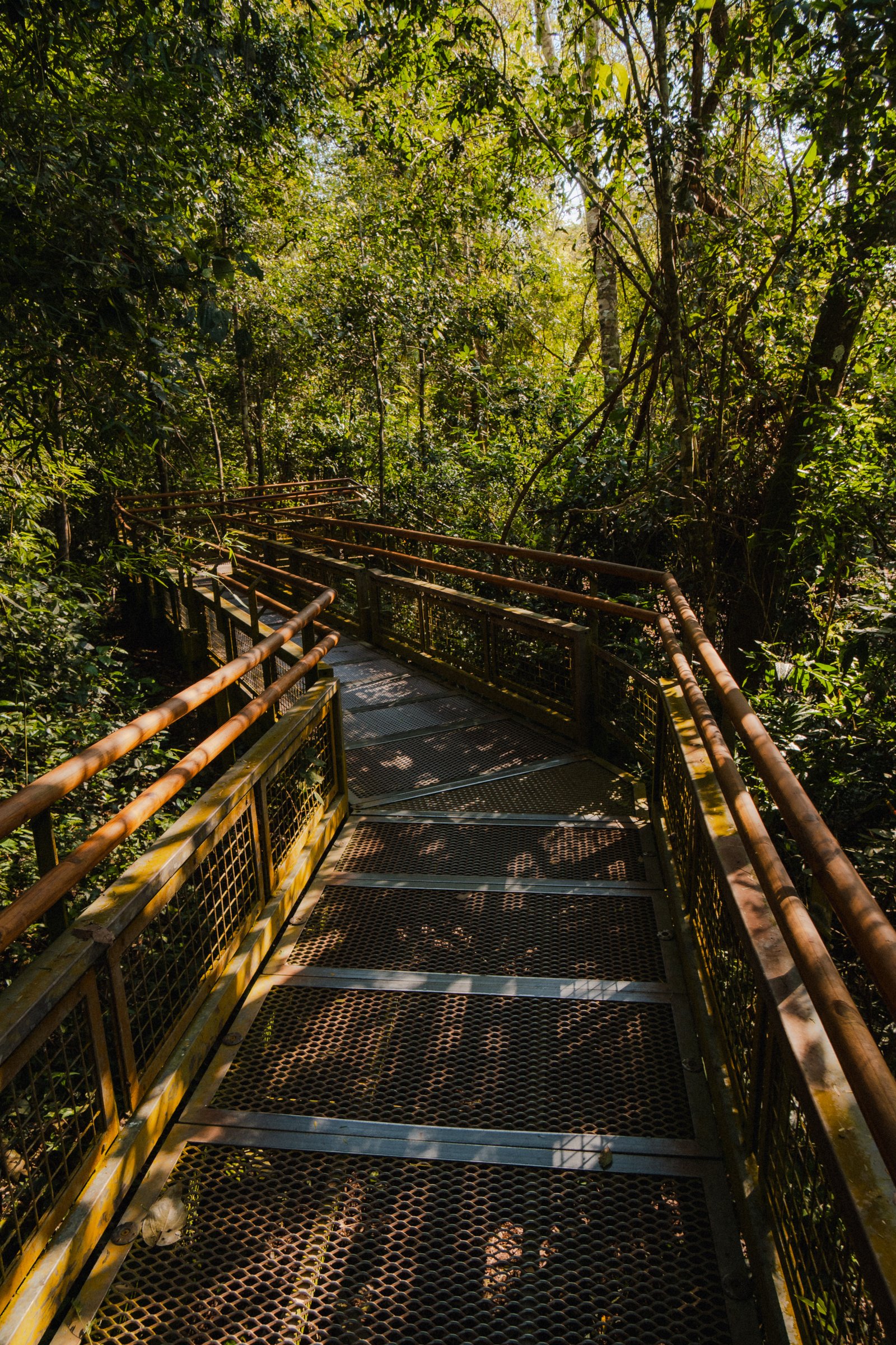
The walkway winding through the forest, sun filtering through the leaves.
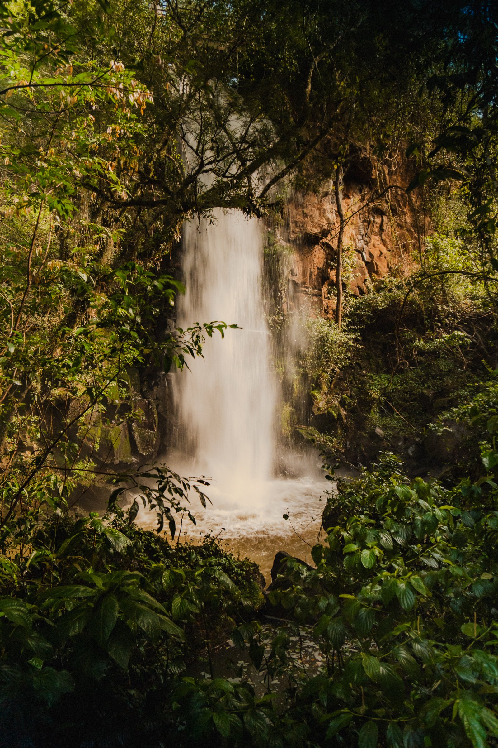
A single waterfall dropping through the forest, dense green plants crowding the pool.
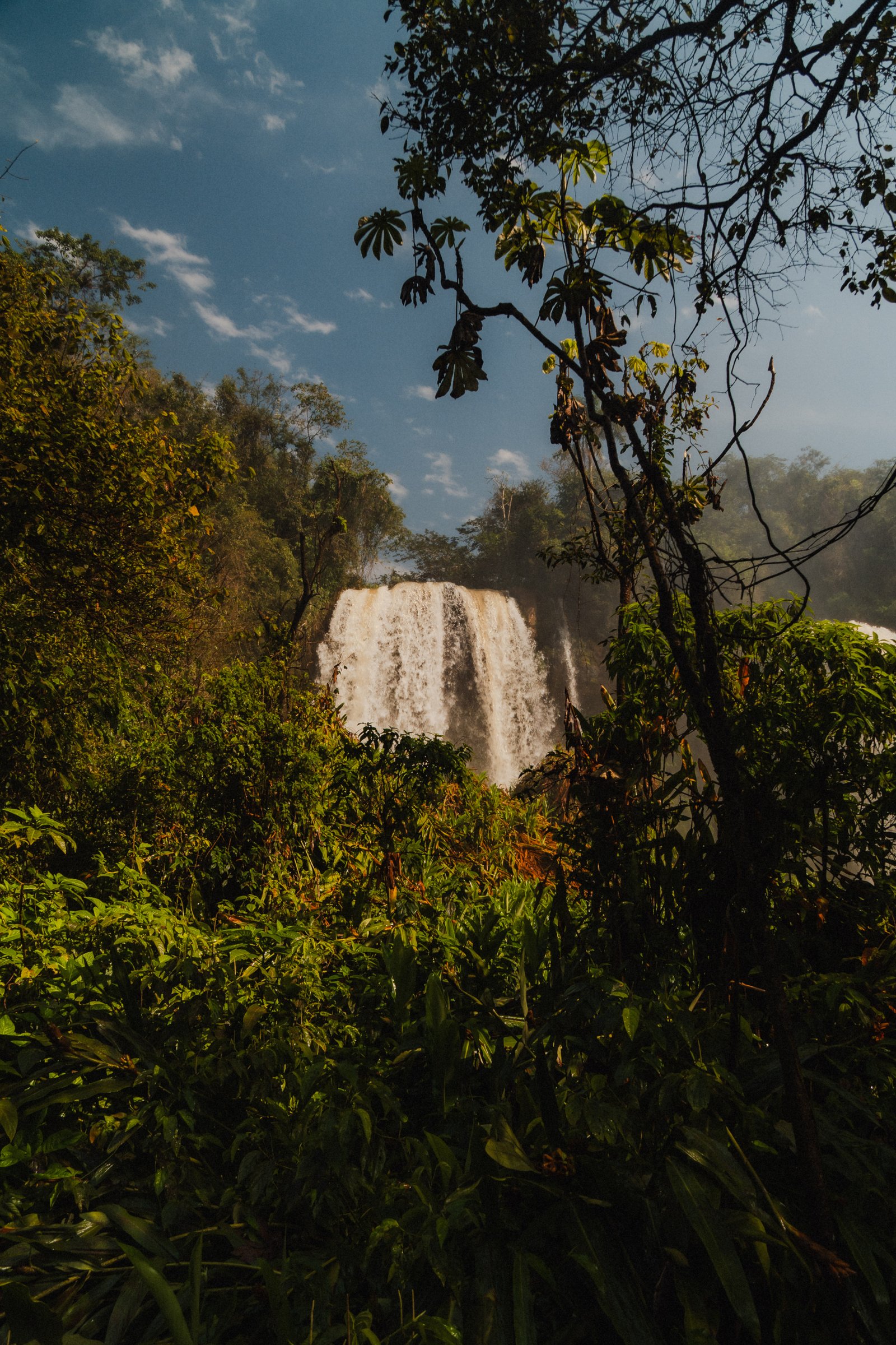
A waterfall glimpsed through the branches, blue sky above the canopy.
The Jungle
3 photographsYou spend more time in the jungle than at the falls. It's warm and wet from the mist, and the birds are loud in a way that doesn't stop. These three frames are from the paths between viewpoints, the parts most people walk through without stopping.
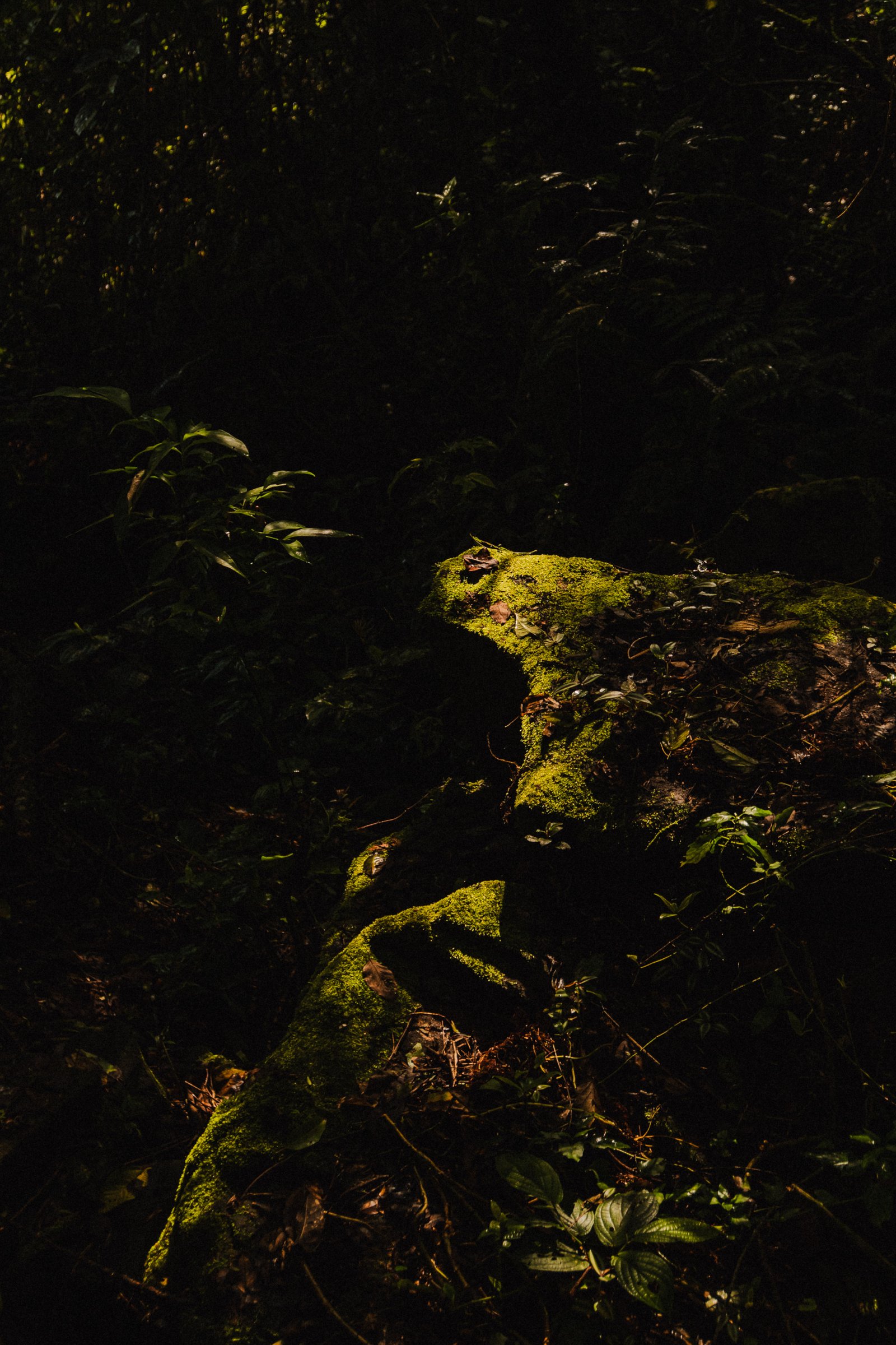
Moss-covered rock catching a shaft of sun in the dark understory.
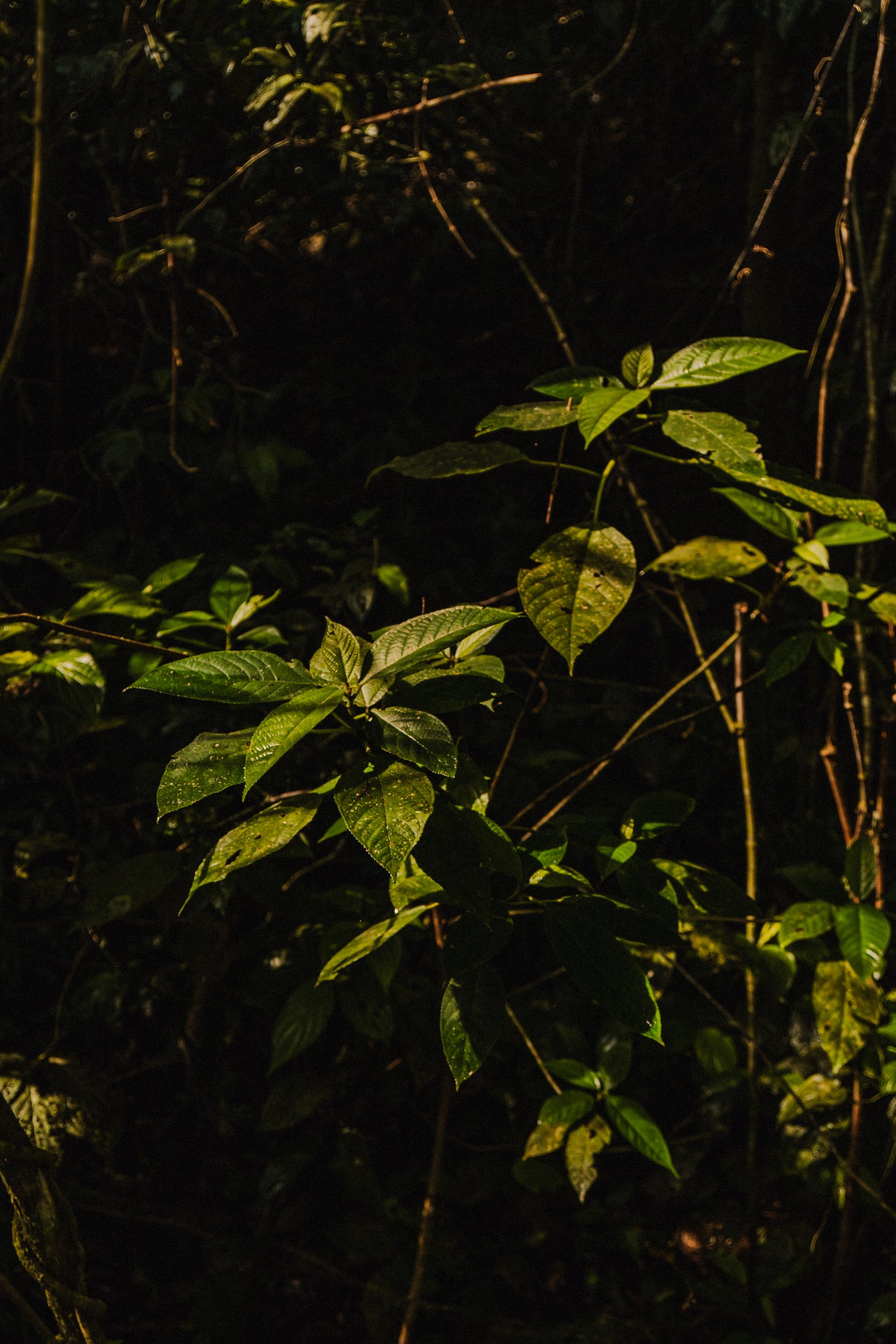
Broad green leaves in the dim light under the canopy.
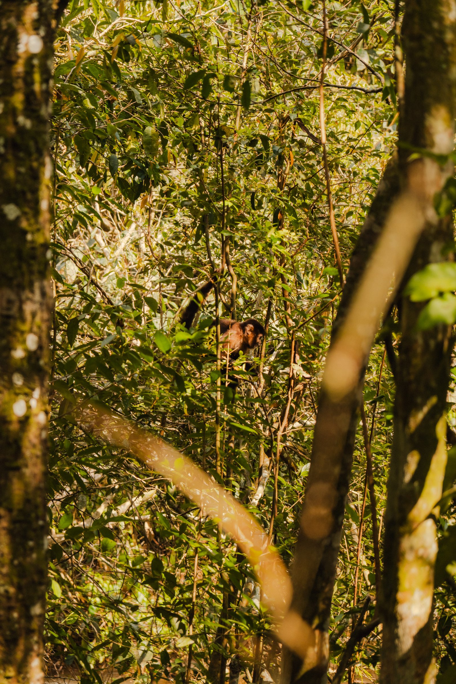
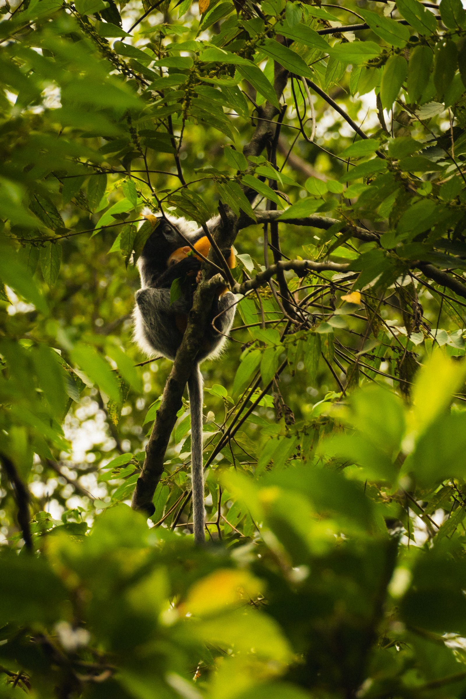
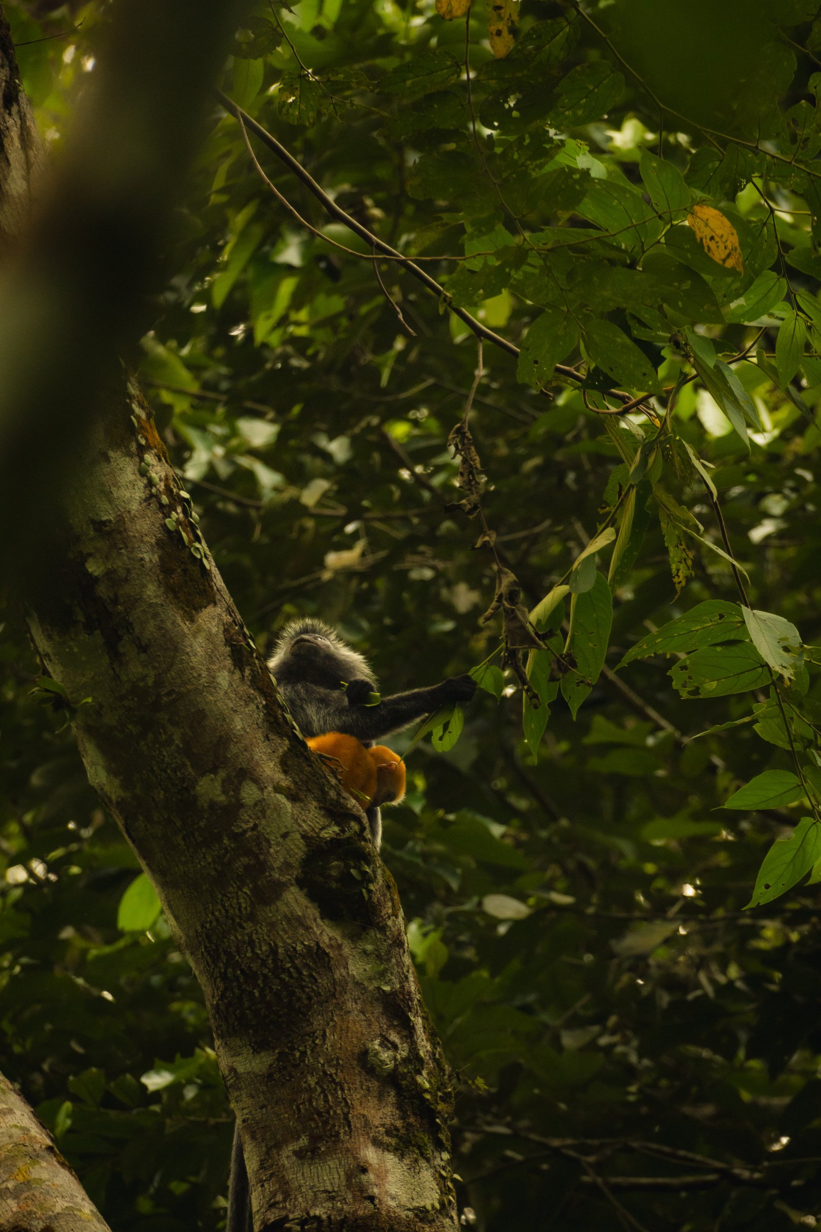
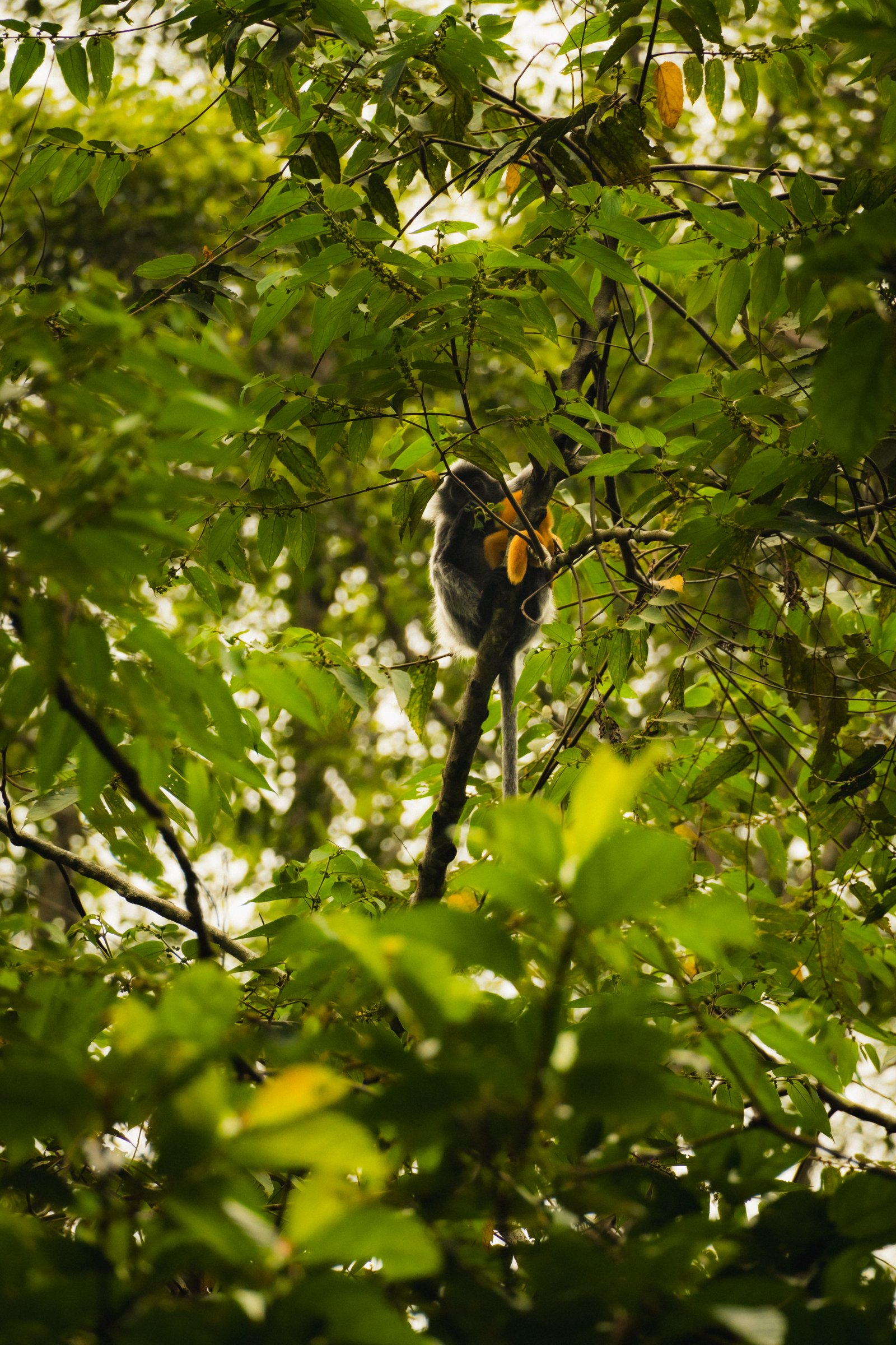
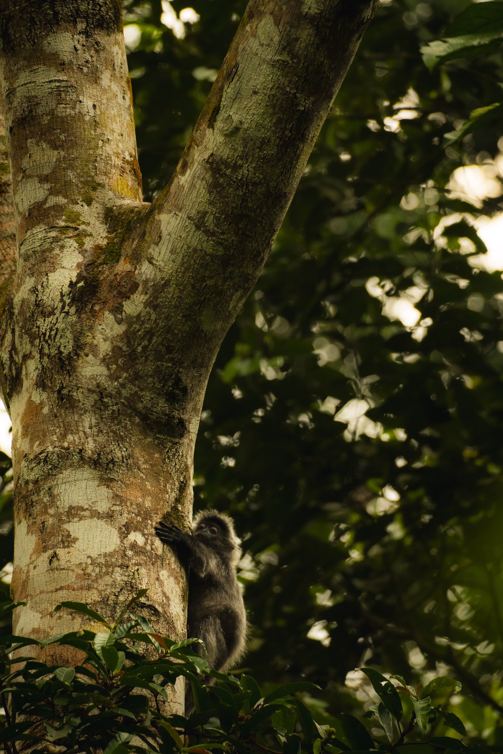
A capuchin monkey half hidden in the foliage, watching from the middle of the frame.
Perito Moreno
Glacier
250 km² of advancing ice.
38 photographs · 11 sequences
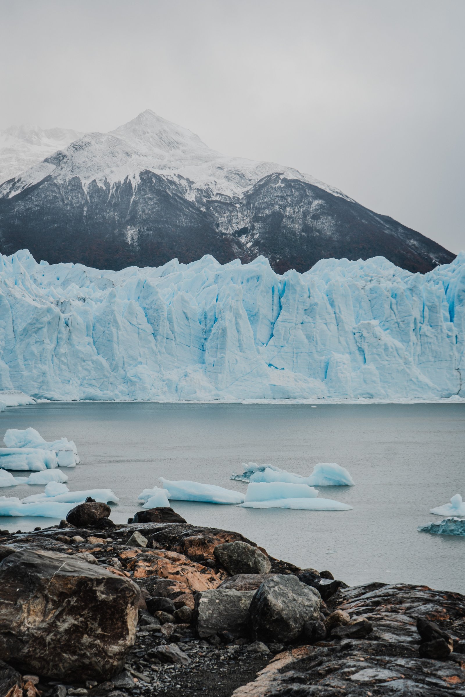
The Perito Moreno glacier is one of the largest and most accessible glaciers on earth, and one of the few still advancing. It rises 60 metres above Lago Argentino's surface and stretches nearly 5 kilometres across. In April, the surrounding lenga beech forest turns deep red and orange, creating a colour contrast that photographs can barely contain. These 11 sequences document a full day at the glacier: from the shore, on the ice, above it, and finally from the water.
From the Shore
5 photographsThe first encounter. You're walking through lenga trees and then it's just there: a wall of blue-white ice rising from the water, taller than anything you expected. These five frames were made on the rocky shore at the base of the northern face, before stepping onto the walkways.
Freshly calved icebergs on the still surface of Lago Argentino.
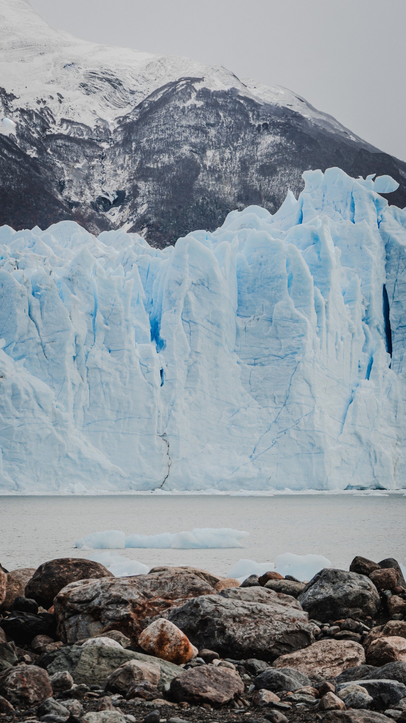
The ice wall rising above the rocky shore. Blue veins run through the face where the ice is densest.
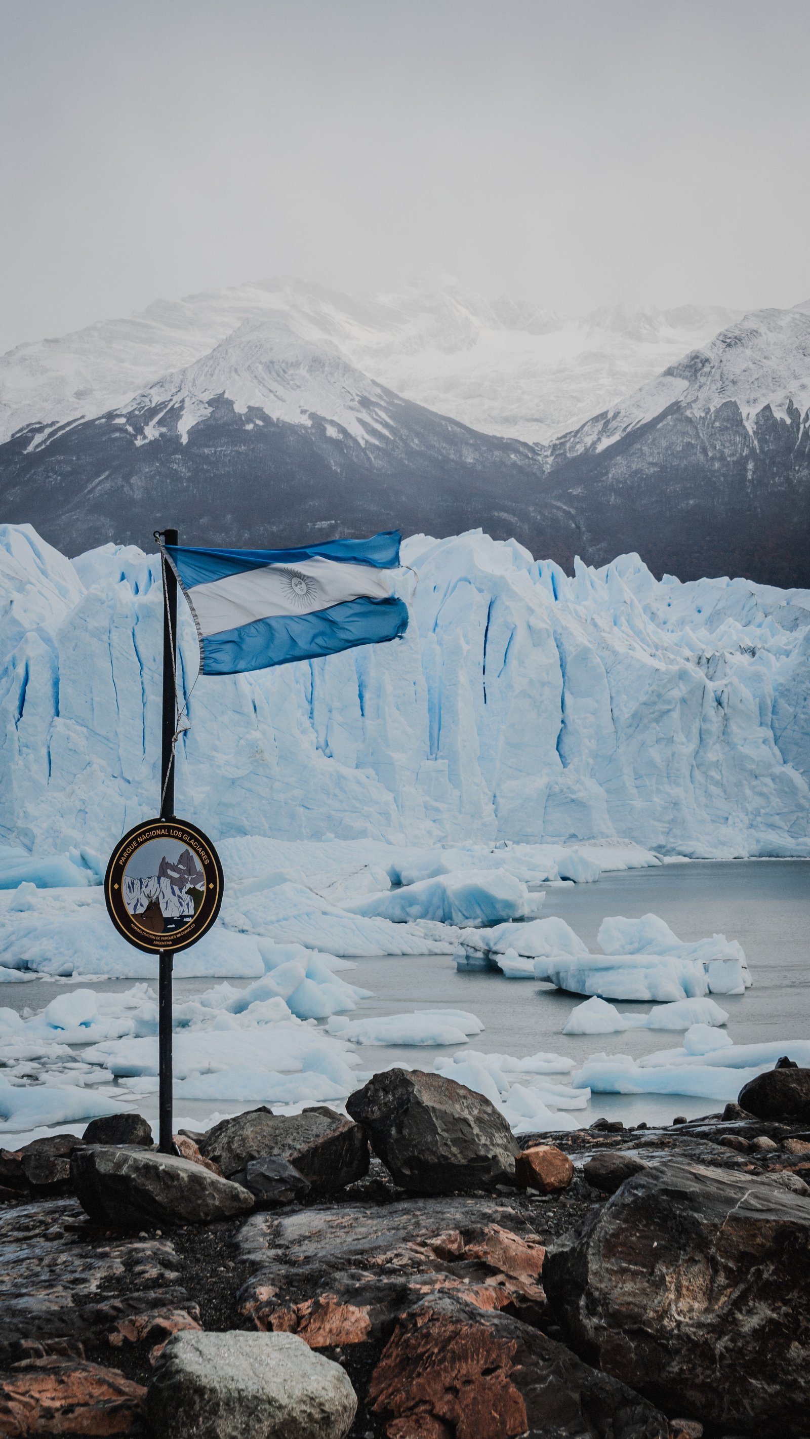
The Argentine flag against the glacier face. Los Glaciares National Park.
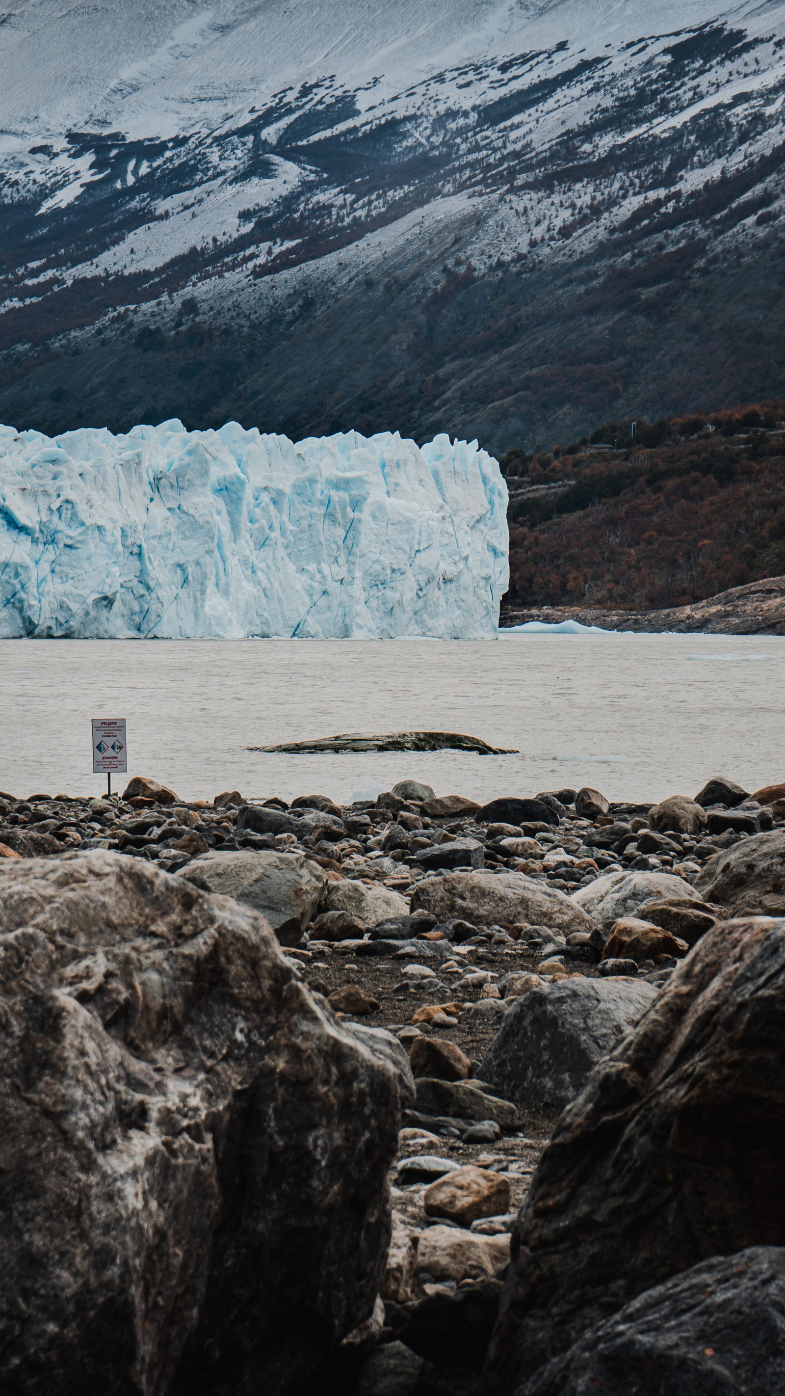
Rocky shore below the glacier. A warning sign at the water's edge.
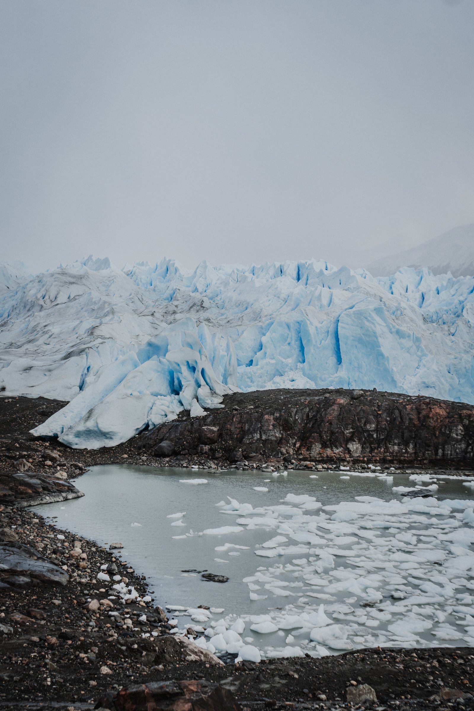
Looking across the calving channel from the south shore. Ice drifting in.
The Wall
3 photographsThe northern face rises 60 to 70 metres from the water, roughly a 20-storey building standing in a lake. These three photographs are about the wall itself: the scale of it, the blue, and what it actually means that the ice you're looking at is two and a half million years old.
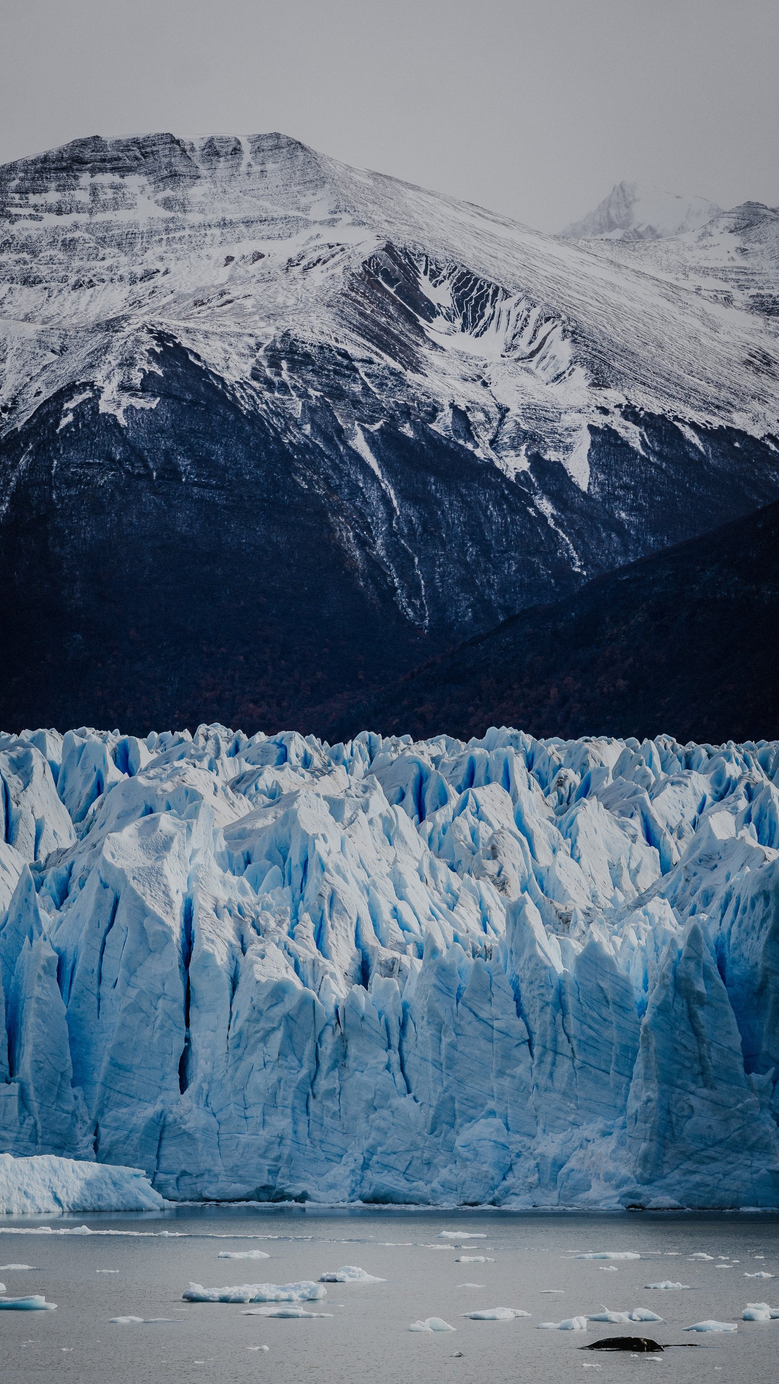
The glacier front against a snow-dusted Andean backdrop.
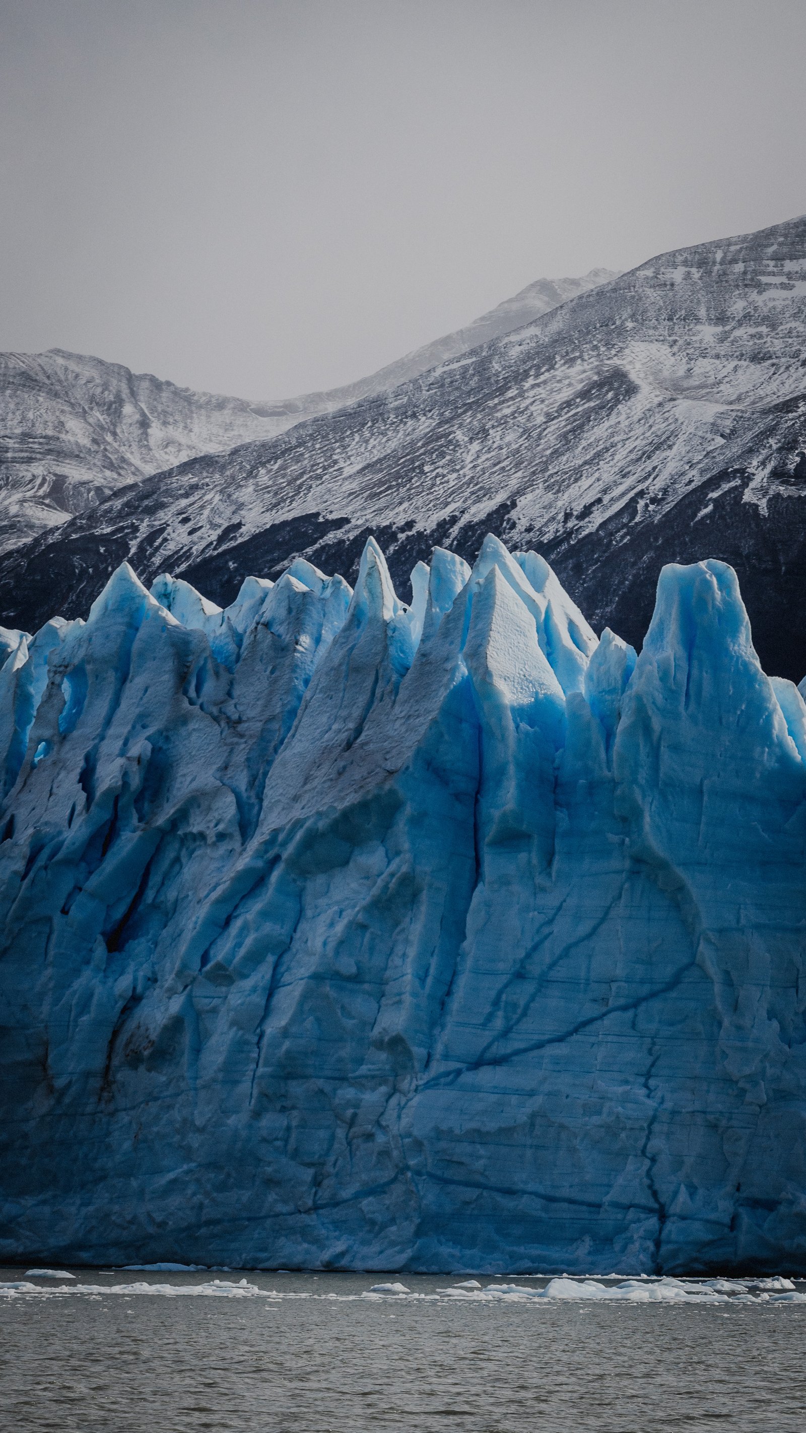
The glacier front, its crest cut into jagged blue seracs. Dark mountains behind.
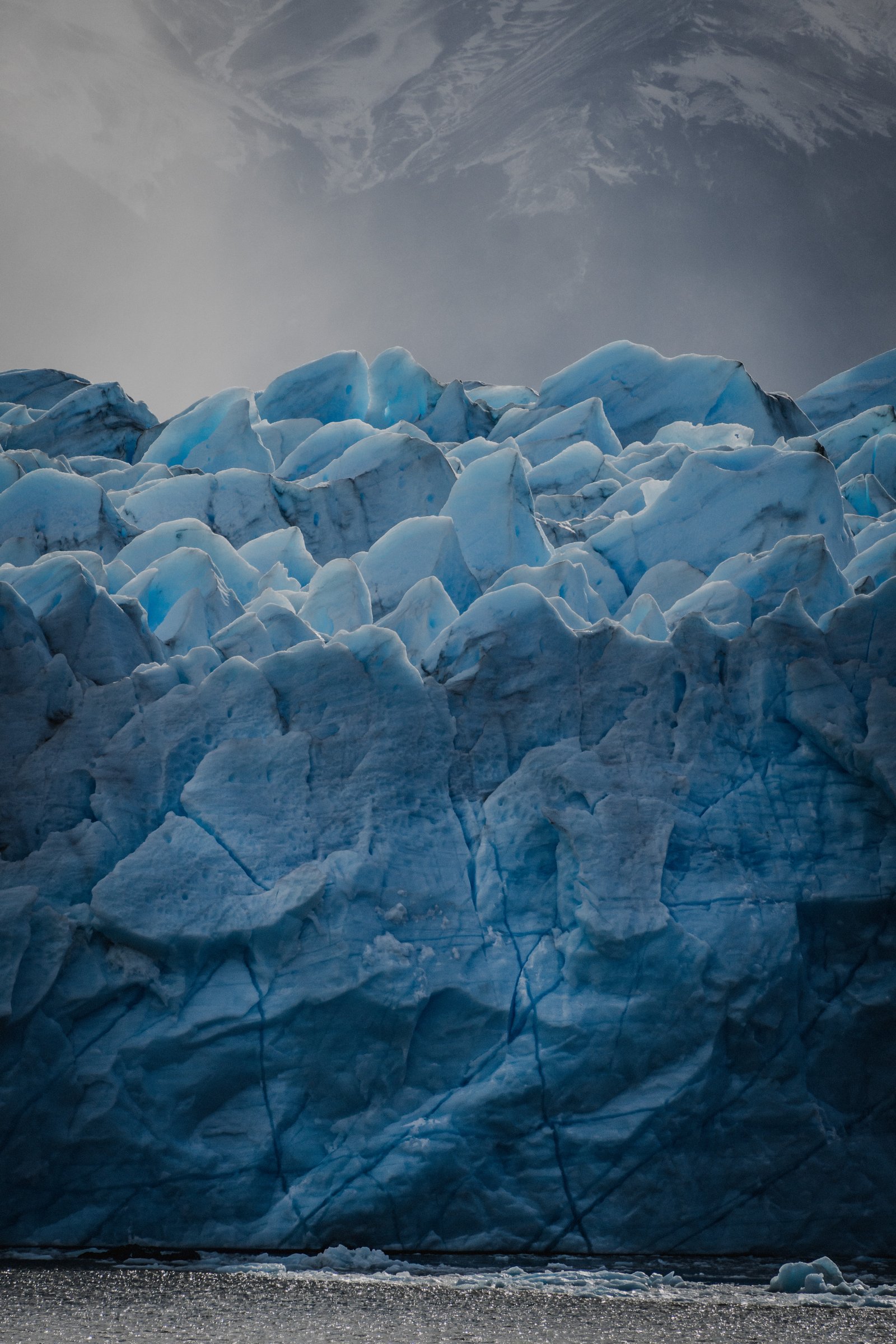
Fractured blue ice at the glacier's face. Stormy sky above.
Inside the Ice
4 photographsOn the Big Ice trek you walk on the glacier surface with crampons. The meltwater carves channels and crevasses from within and the ice exposed inside is thousands of years old. That blue comes from the density: so compressed it absorbs everything except blue light. Four frames of pure abstraction.
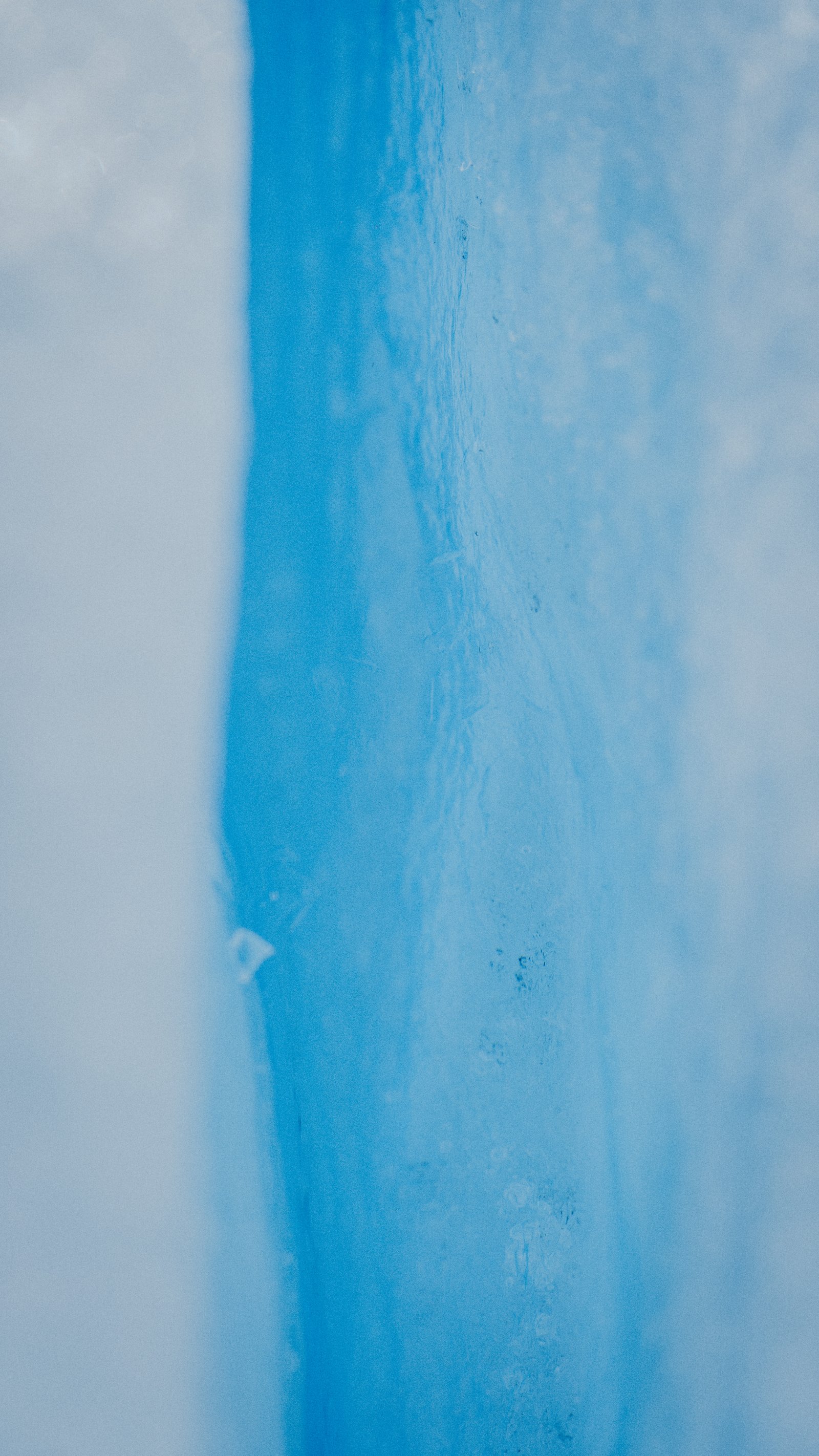
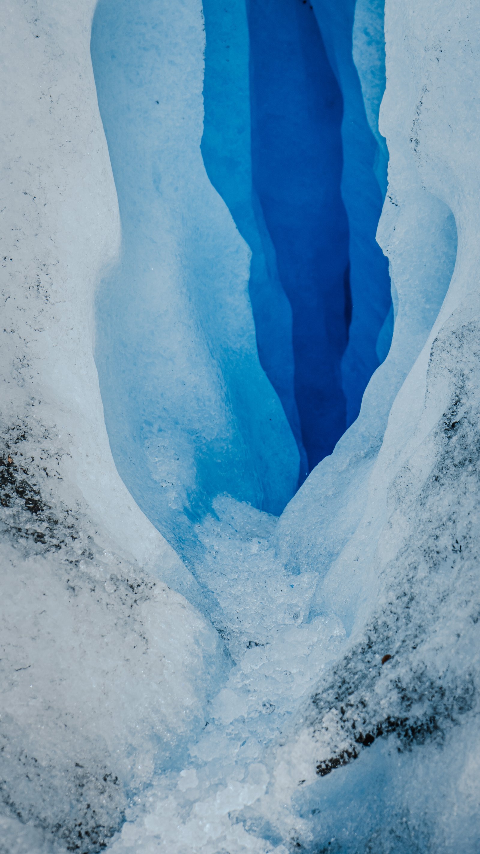
Deep blue ice along a crevasse wall, smooth where it has been compressed over centuries.
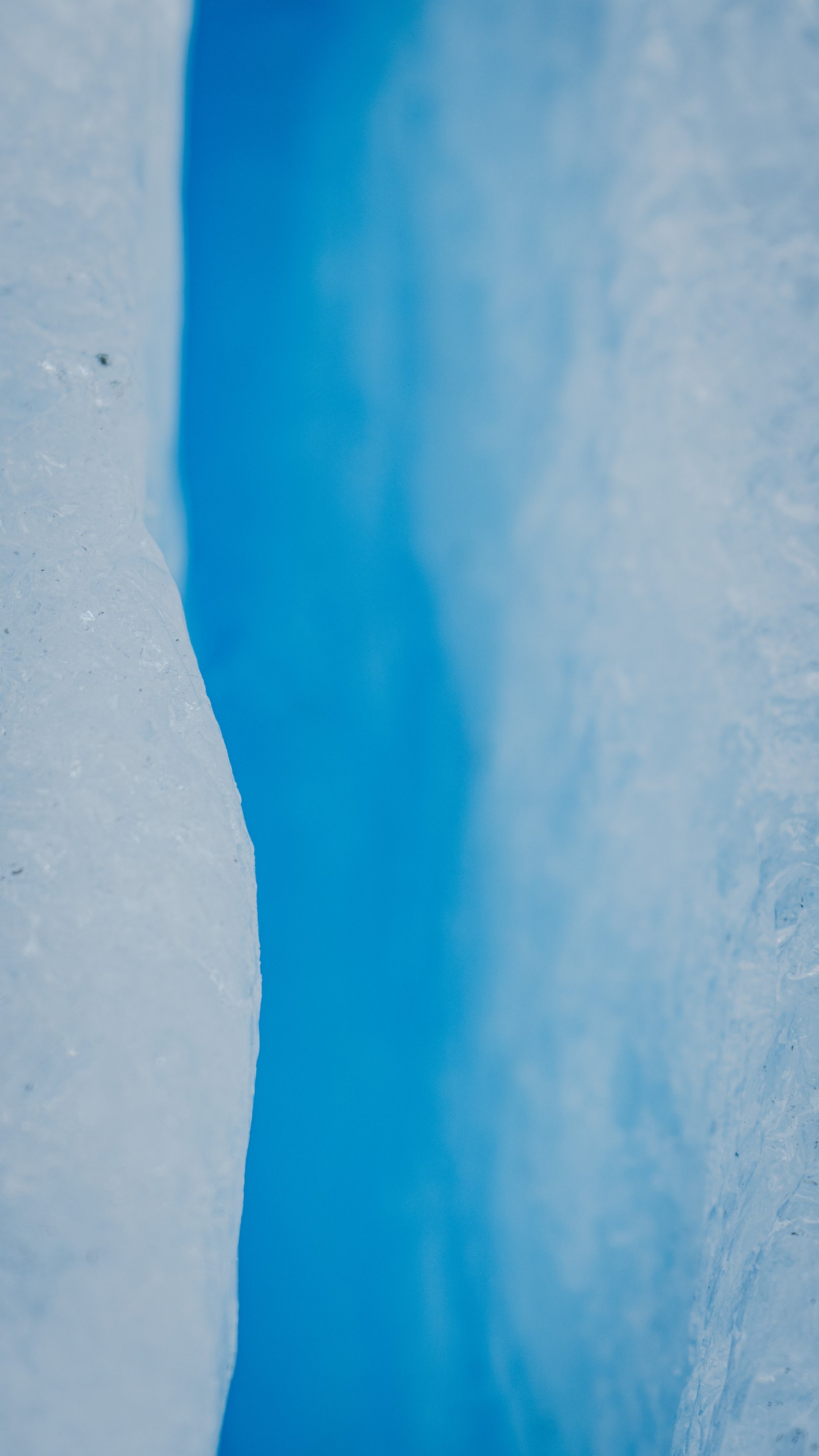
Vertical crevasse between two ice walls. Light filters through from above.
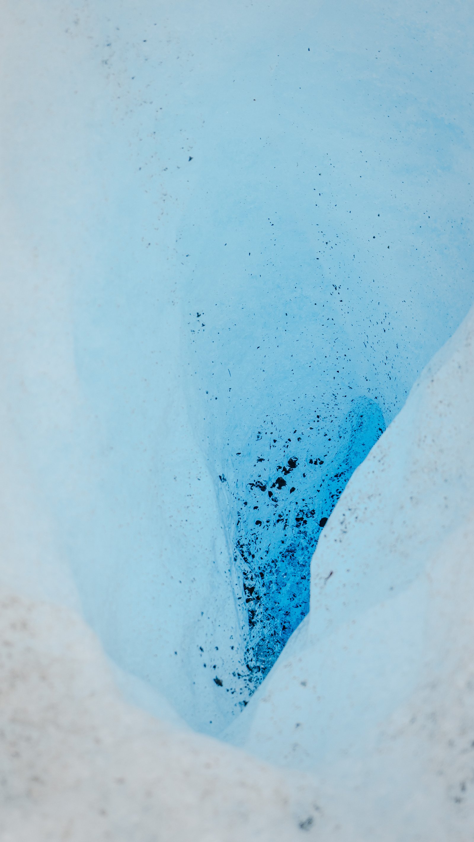
Looking down into a funnel in the ice, its walls dusted with dark sediment.
Narrow meltwater channel. Electric blue ice walls on either side.
The Trek
3 photographsThe Big Ice excursion takes you onto the glacier with crampons. The scale only becomes real when you can compare it to a human figure. These three frames document that relationship.
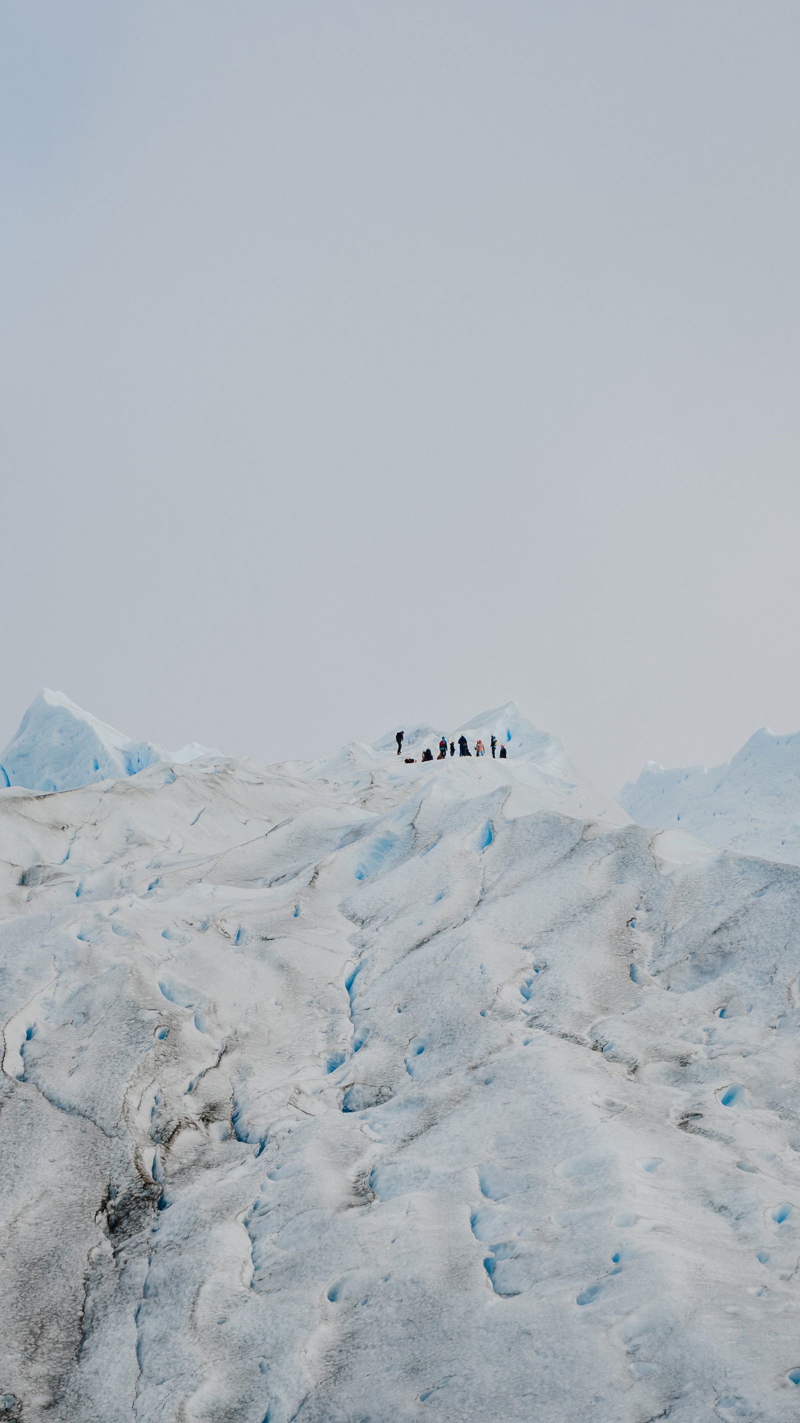
A line of trekkers, tiny on the crest of the glacier, with the ice running out to a flat grey sky.
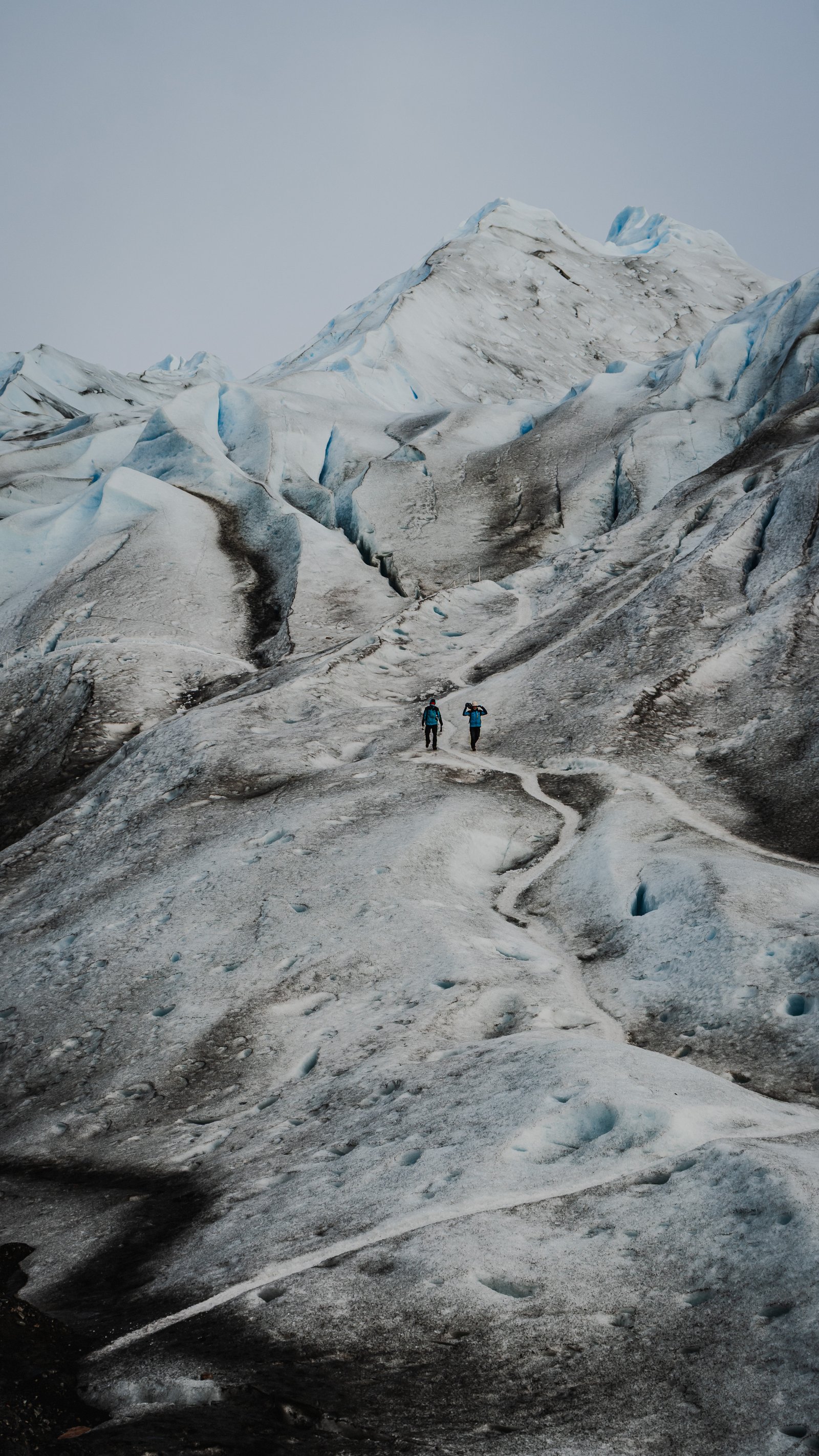
Ice hummocks and the figures below them. Scale made visible.
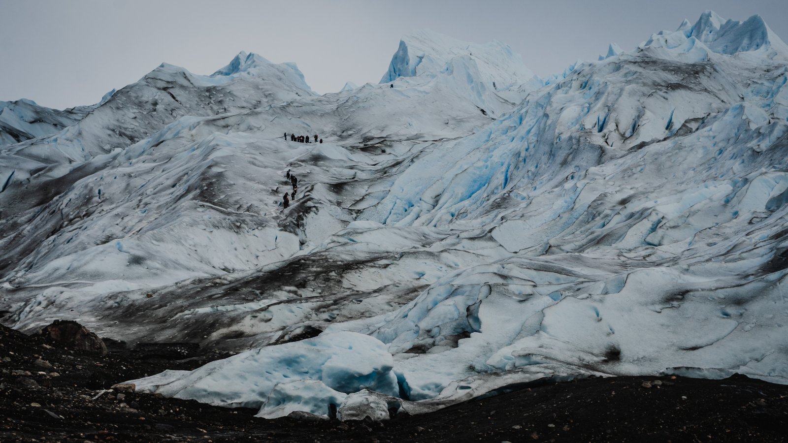
Trekkers on the glacier ridge. Grey sky, scale made visible.
Ice Towers
4 photographsWalking between the seracs on the Big Ice feels like moving through a city that's never been inhabited. Some towers rise six or seven metres above the surface, carved by sun and melt into shapes that look almost deliberate.
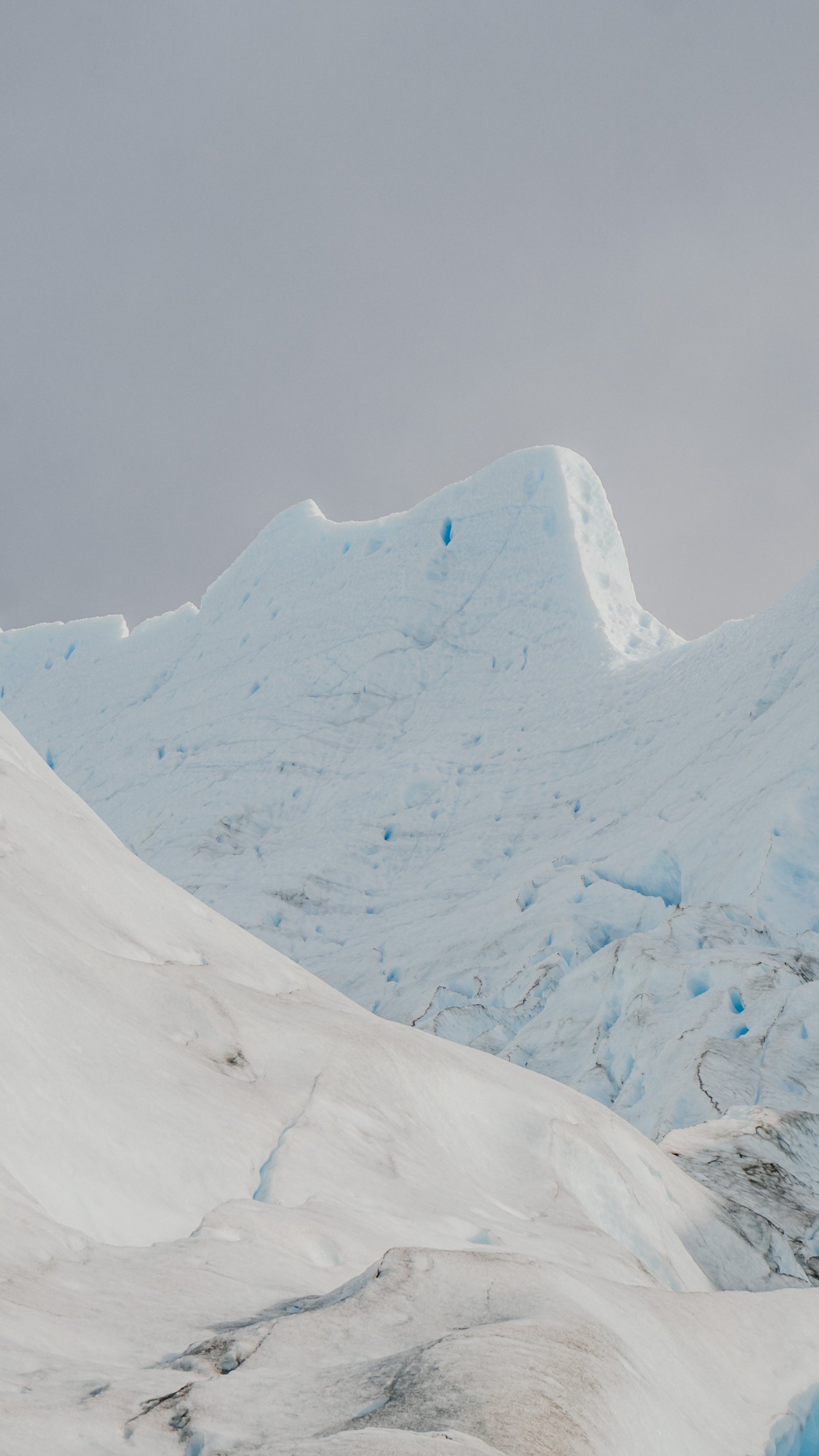
Pale seracs under flat overcast. The shapes look architectural.
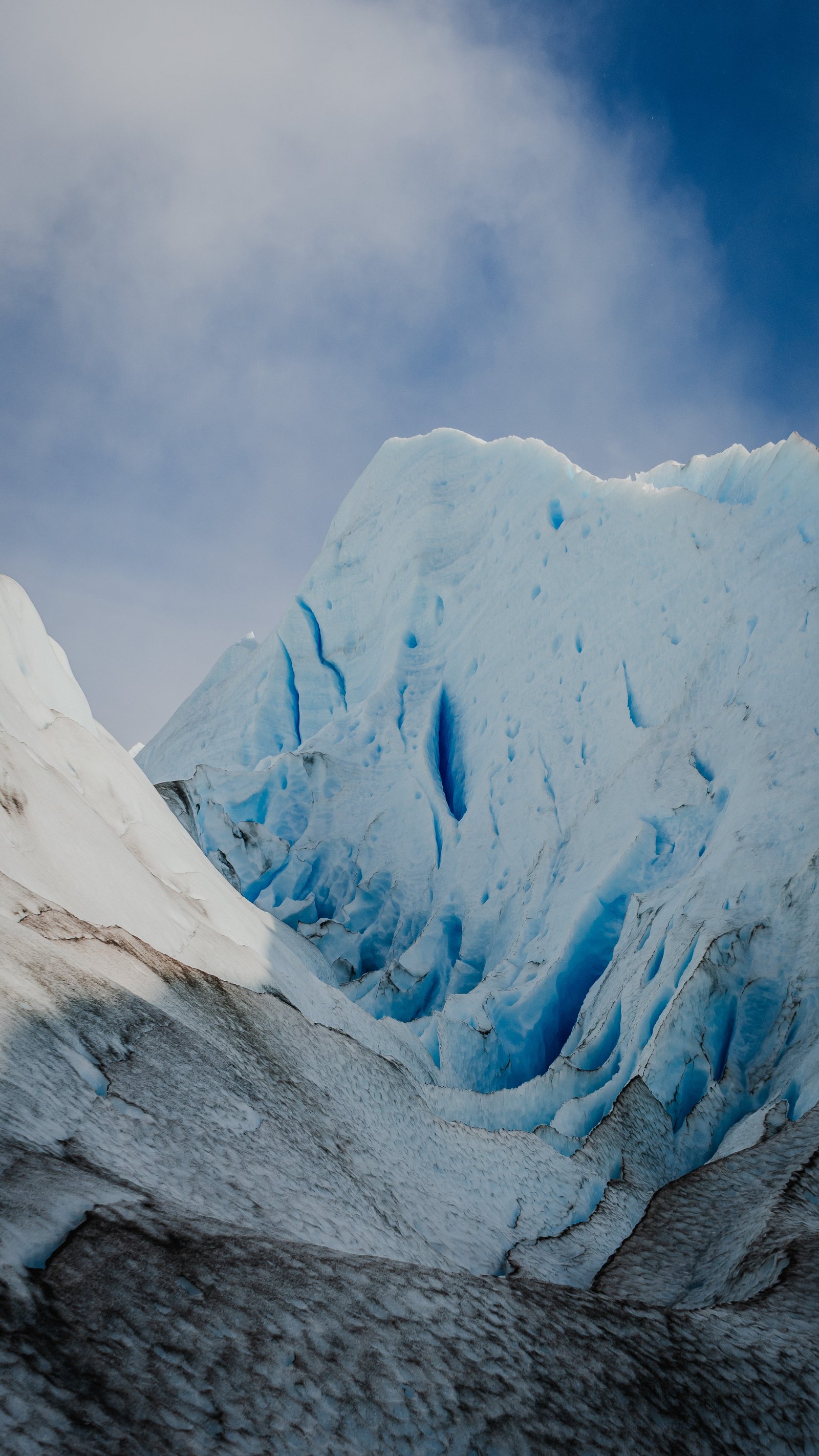
Jagged serac with a deep crevasse. Blue sky above.
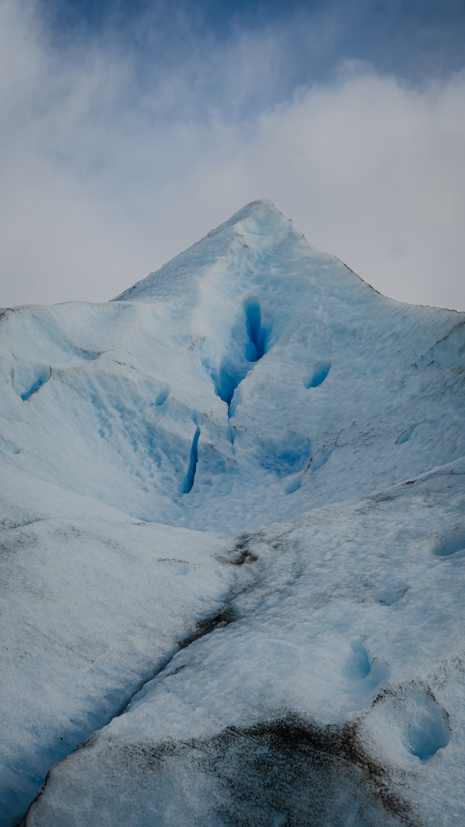
A pyramid of ice with narrow blue crevasses cut into its flank.
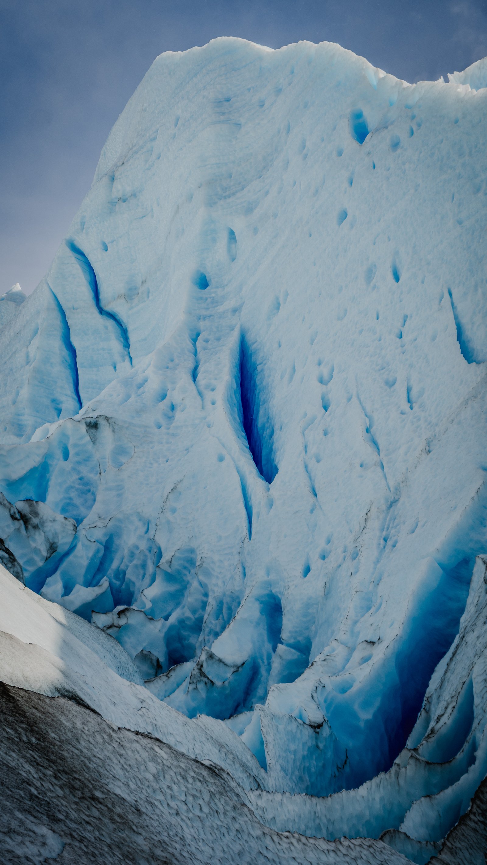
Single large serac rising from the glacier surface.
Seracs from Below
3 photographsFrom the lake walkways below the glacier, the seracs appear as a jagged skyline: a frozen mountain range sitting on water. These three frames capture that perspective: looking up at the ice from below.
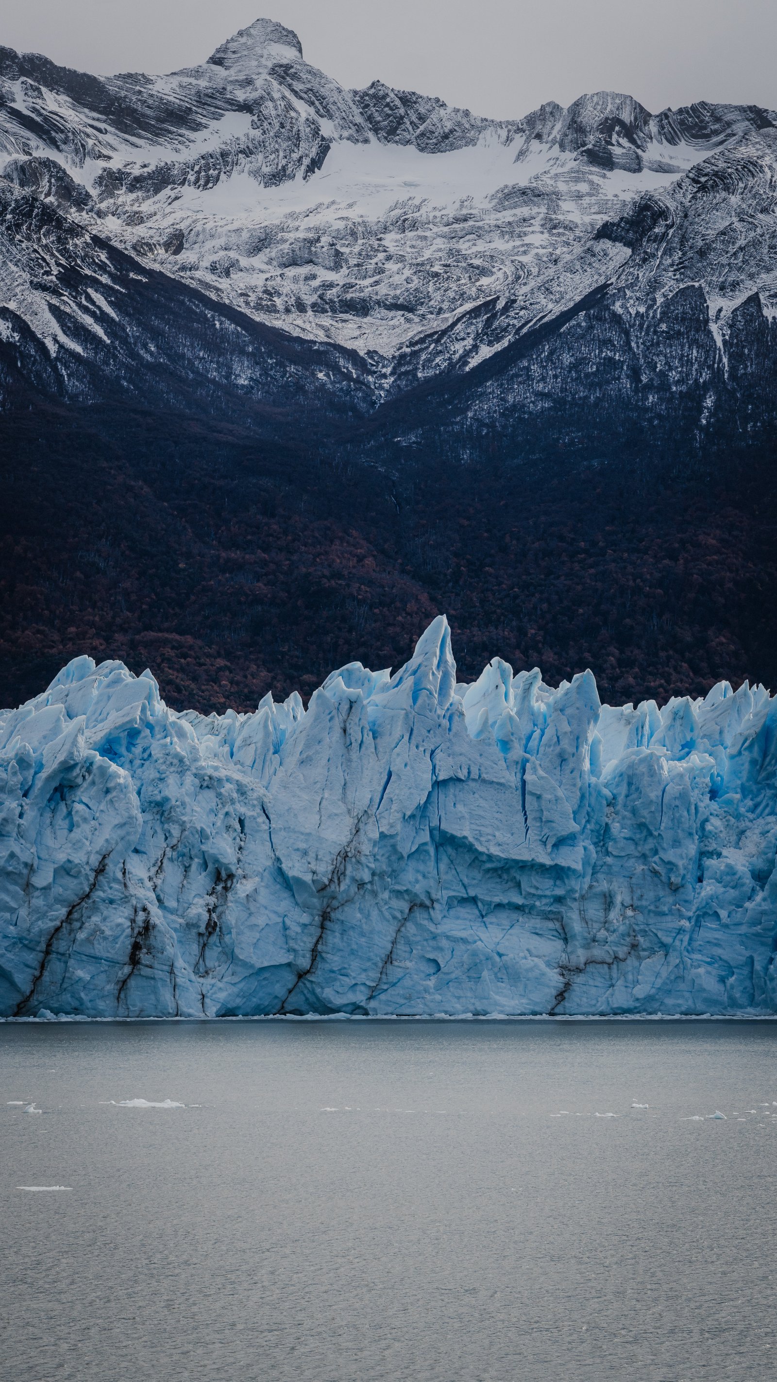
The glacier front across the lake, its blue crest set against a dark forested slope and snow-covered peaks.
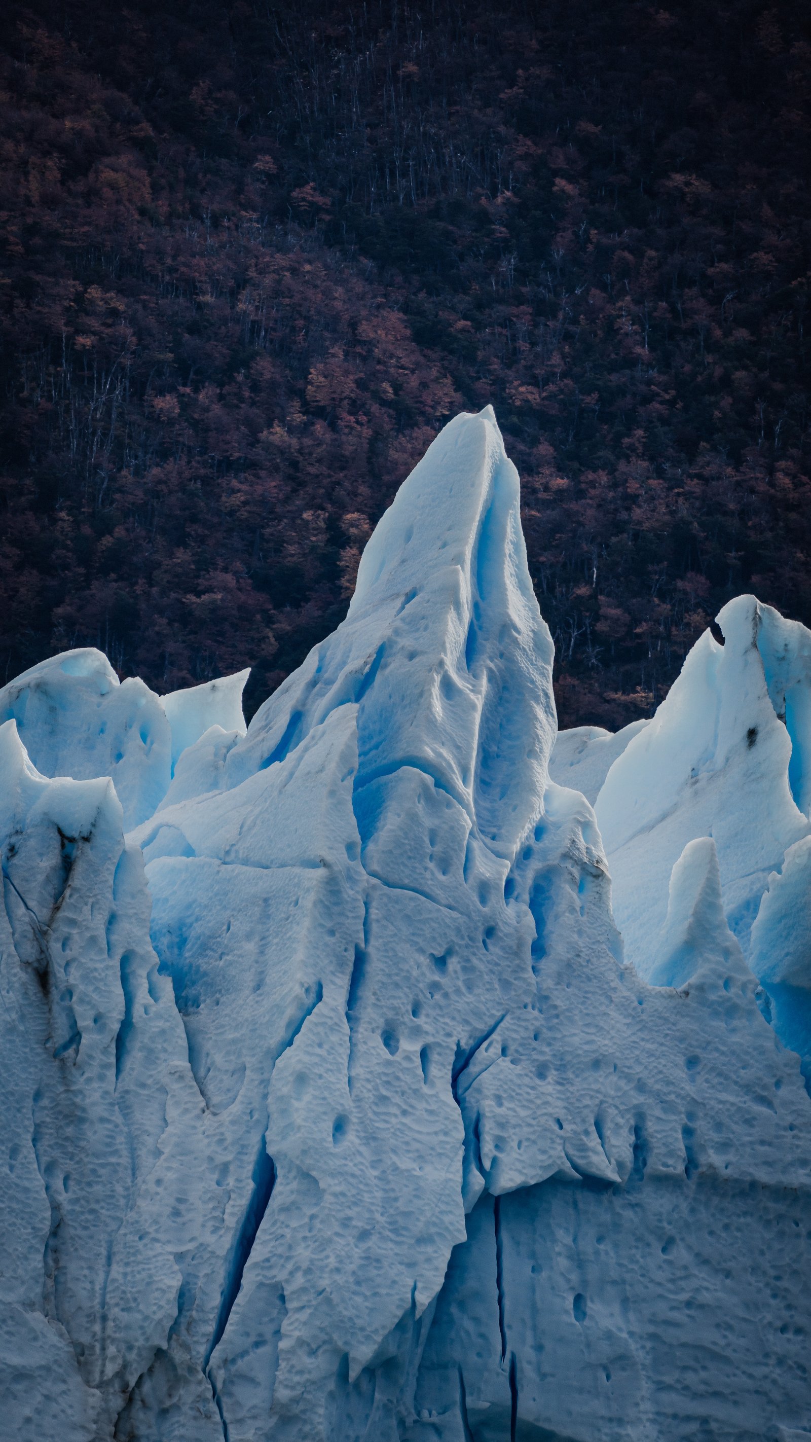
An ice spire rising against the dark autumn forest of the far shore.
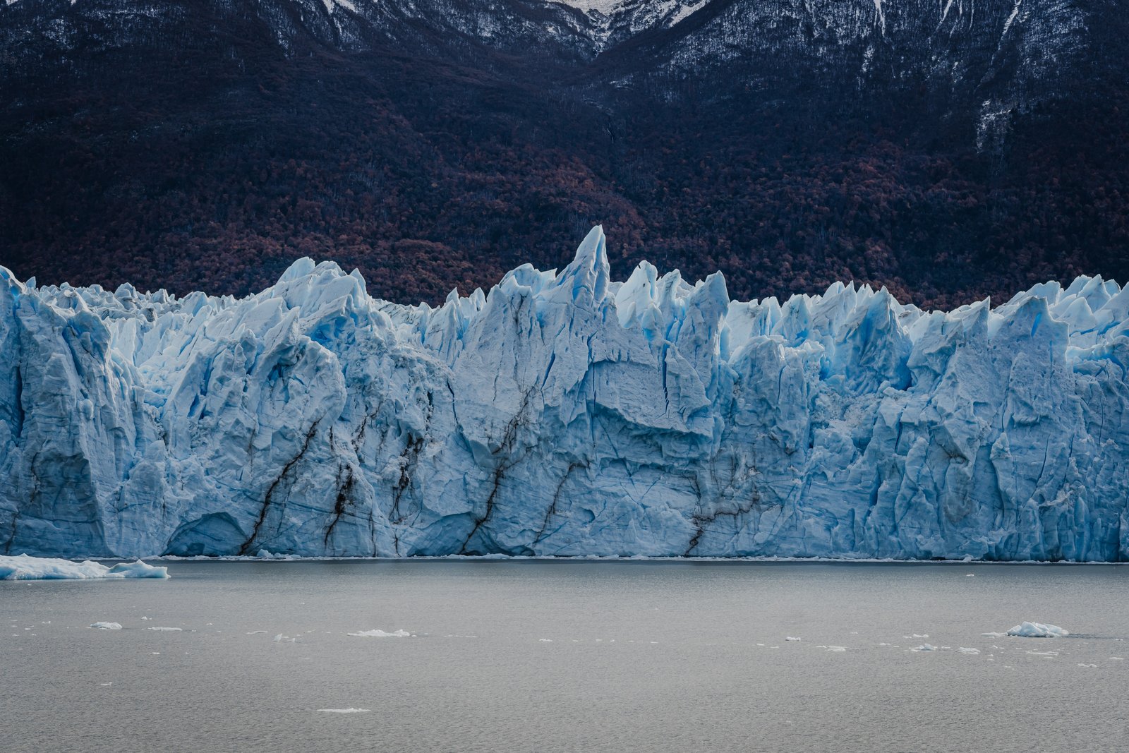
Complete frontal face of the glacier at water level.
Icebergs
6 photographsWhen a section breaks off it hits the water with a sound like a cannon shot. You feel it through the walkway. The ice then drifts across the lake for days, sometimes weeks. Six frames at every scale, from the autumn lenga looking down to the calving face at water level.
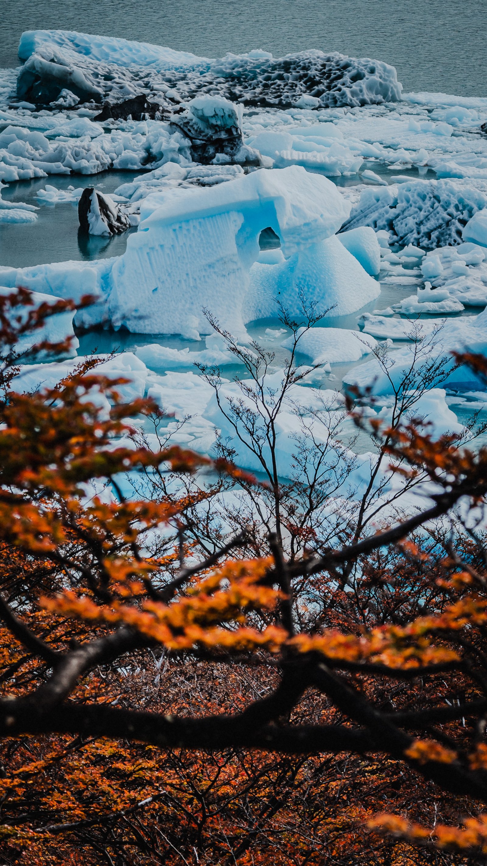
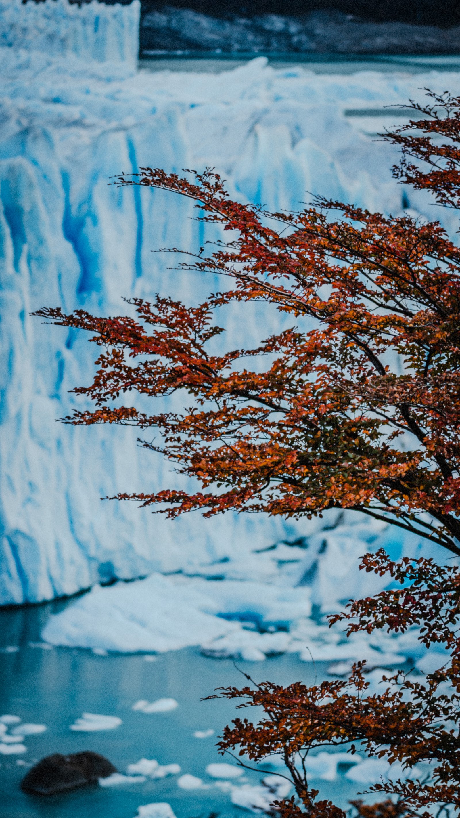
Orange lenga branches framing icebergs drifting below.
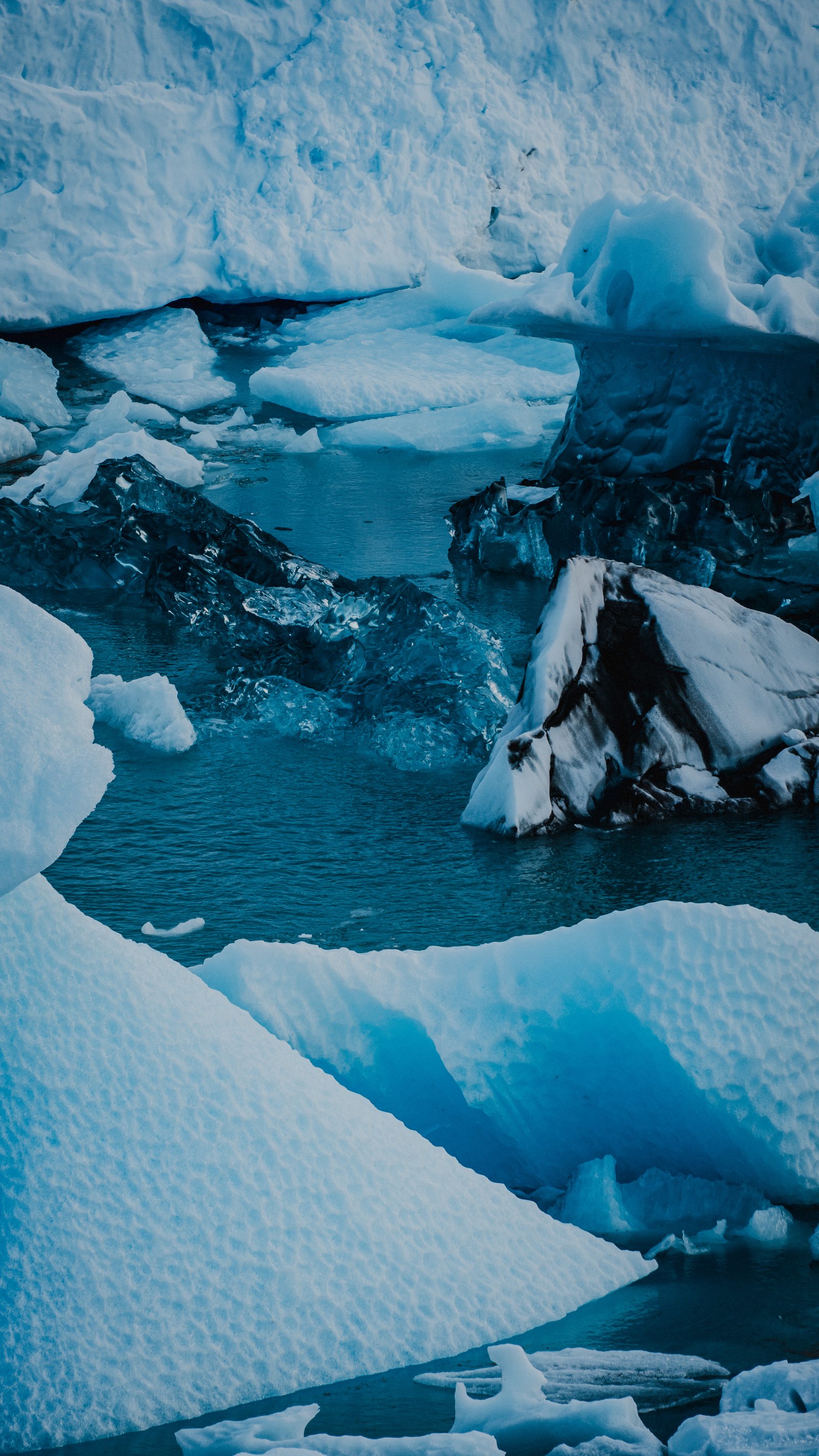
Icebergs clustered at the base of the glacier wall.
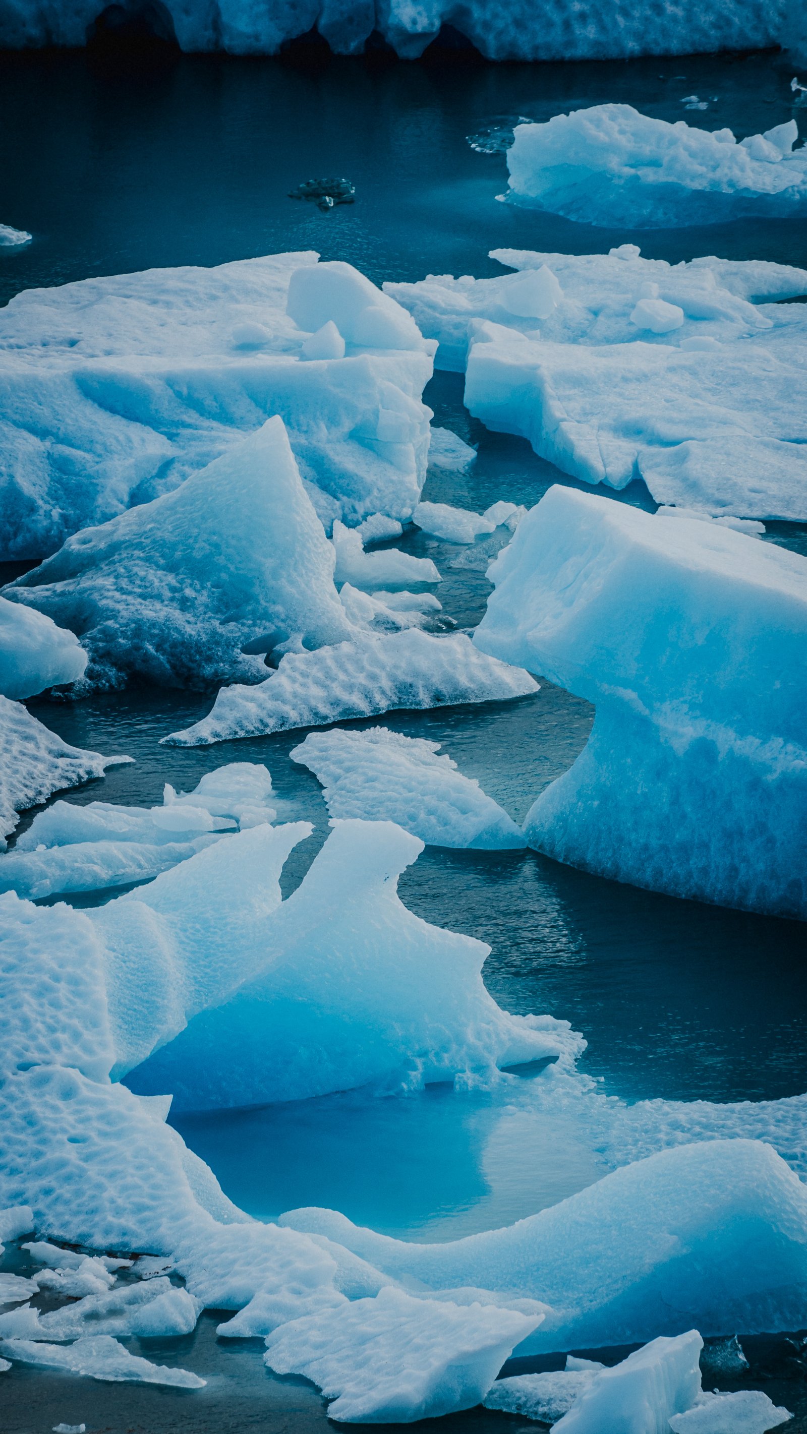
Calved ice chunks from above, dense and packed.
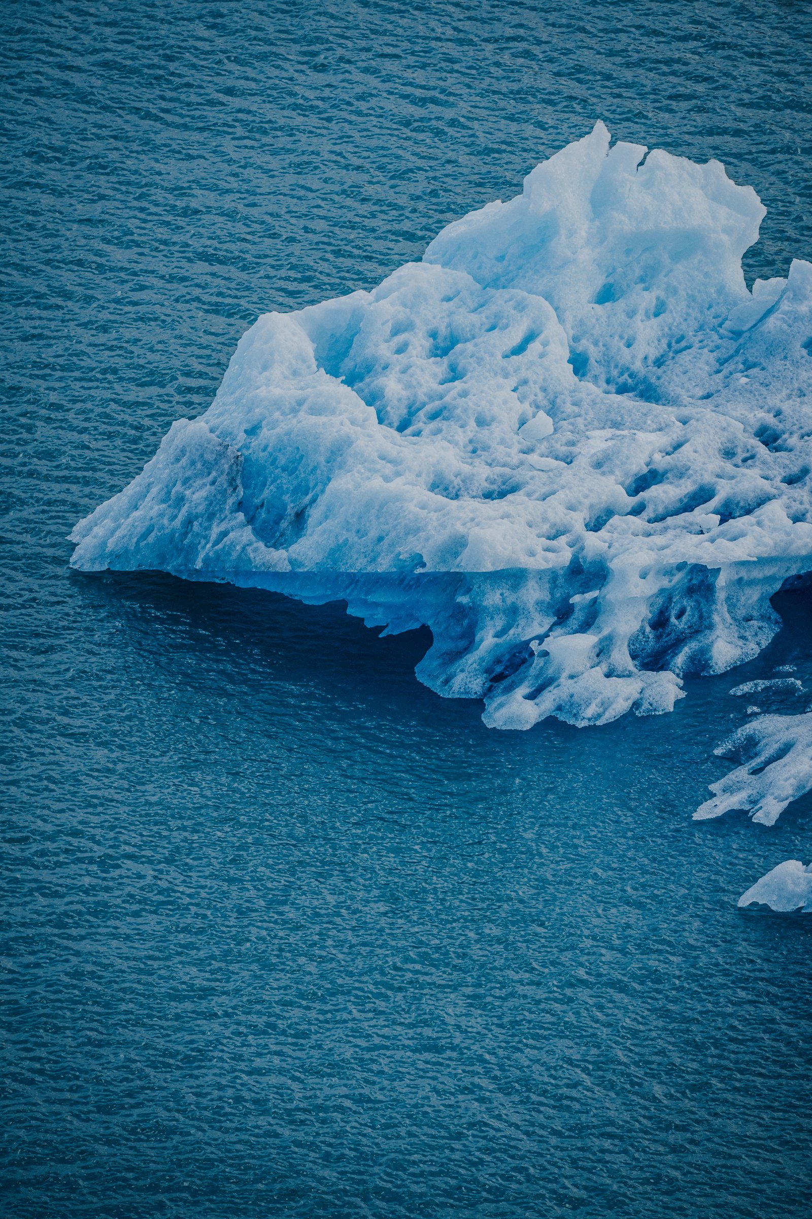
Single iceberg adrift in deep blue lake water.
Autumn lenga in the foreground. Glacier face behind.
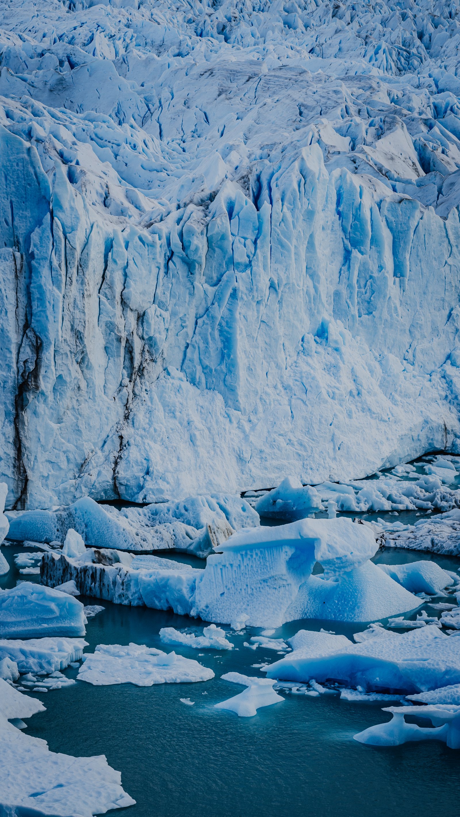
Calving face. Fresh icebergs in turquoise water.
Autumn Forest & Ice
5 photographsApril in Patagonia. The lenga beeches turn red and orange before winter, creating an extraordinary colour contrast with the blue-white of the glacier. The light is lower, softer, and the foreground transforms completely.
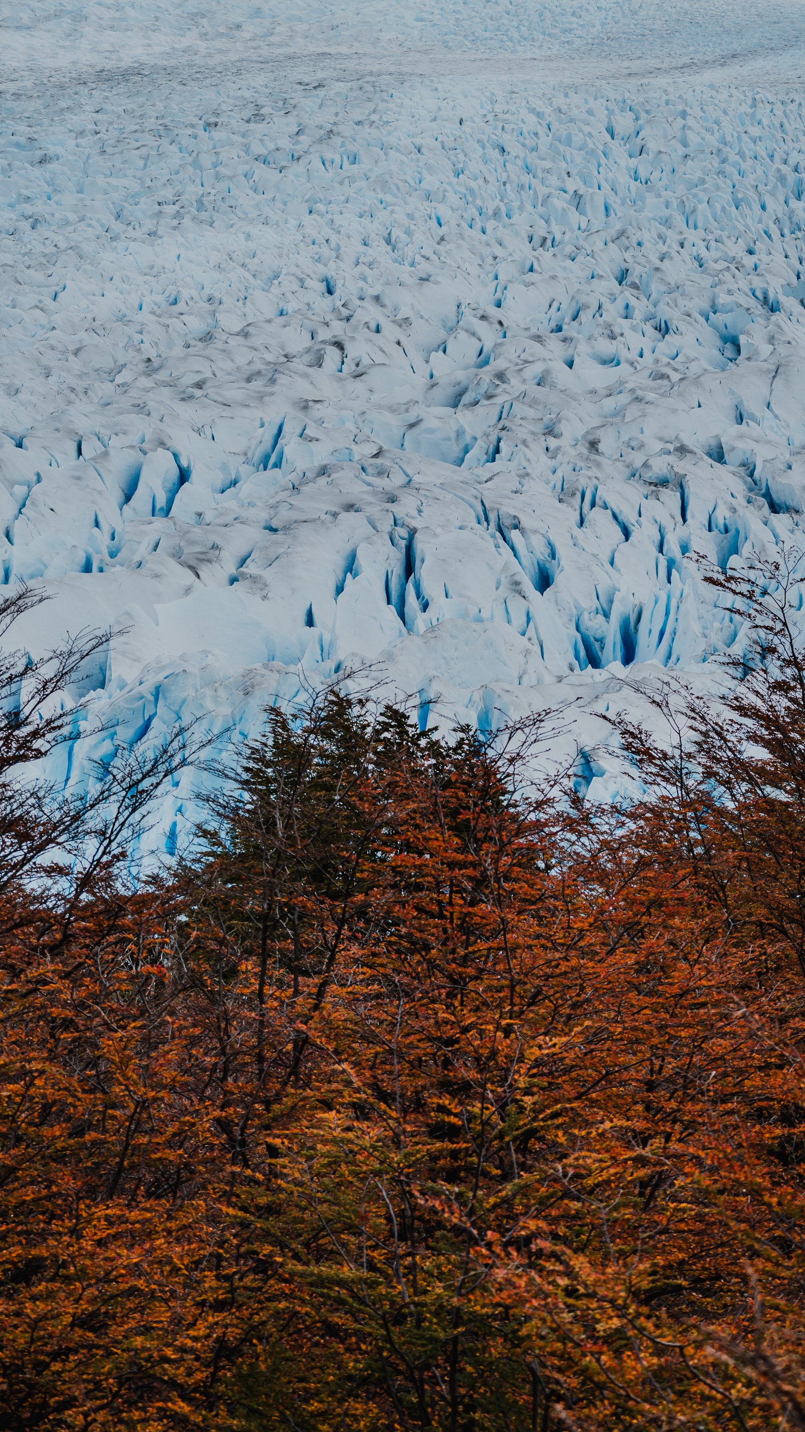
Autumnal lenga forest below the glacier's vast expanse.
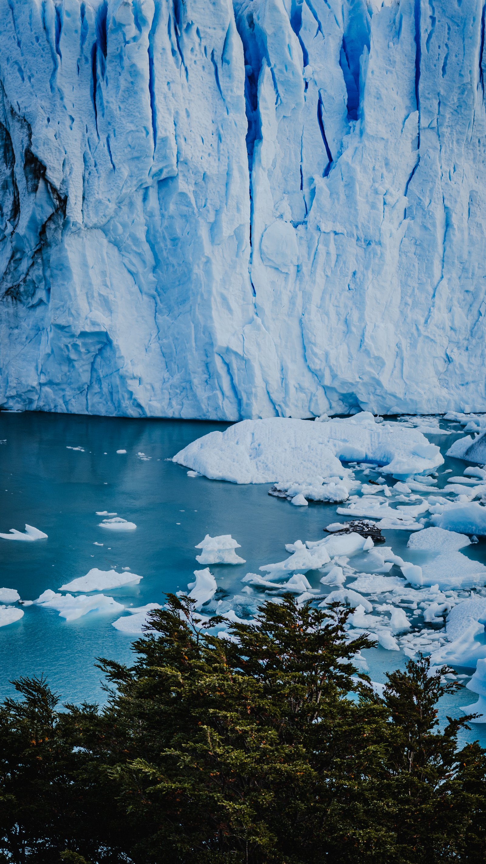
Pine canopy framing the glacier face and turquoise water.
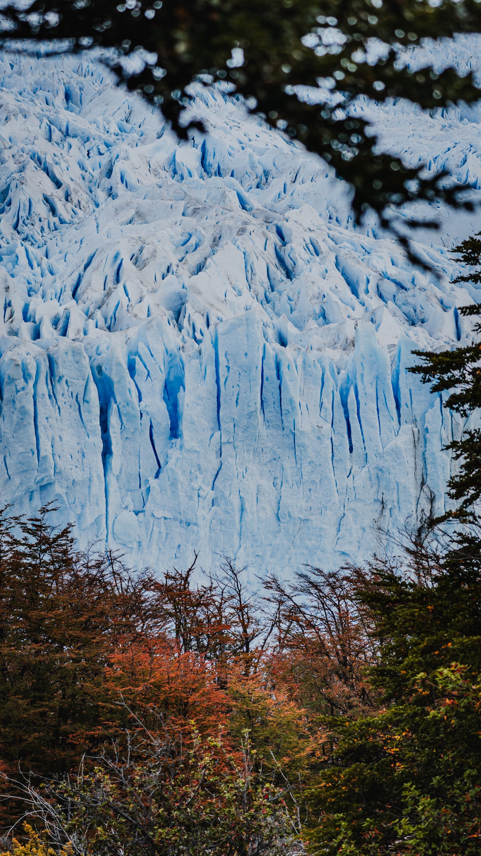
Glacier upper mass visible through autumn branches.
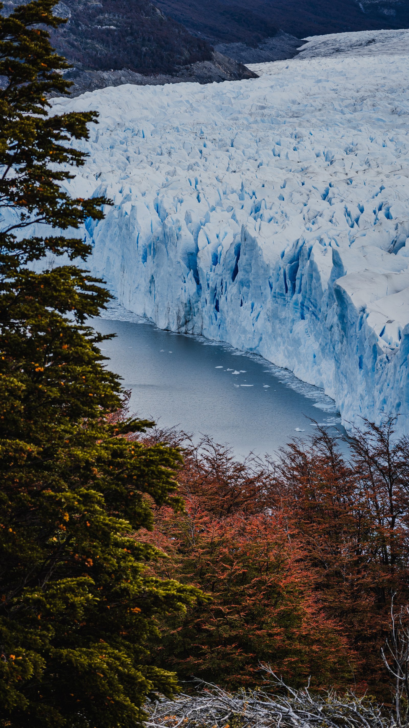
Looking along the glacier's lateral wall through autumn forest.
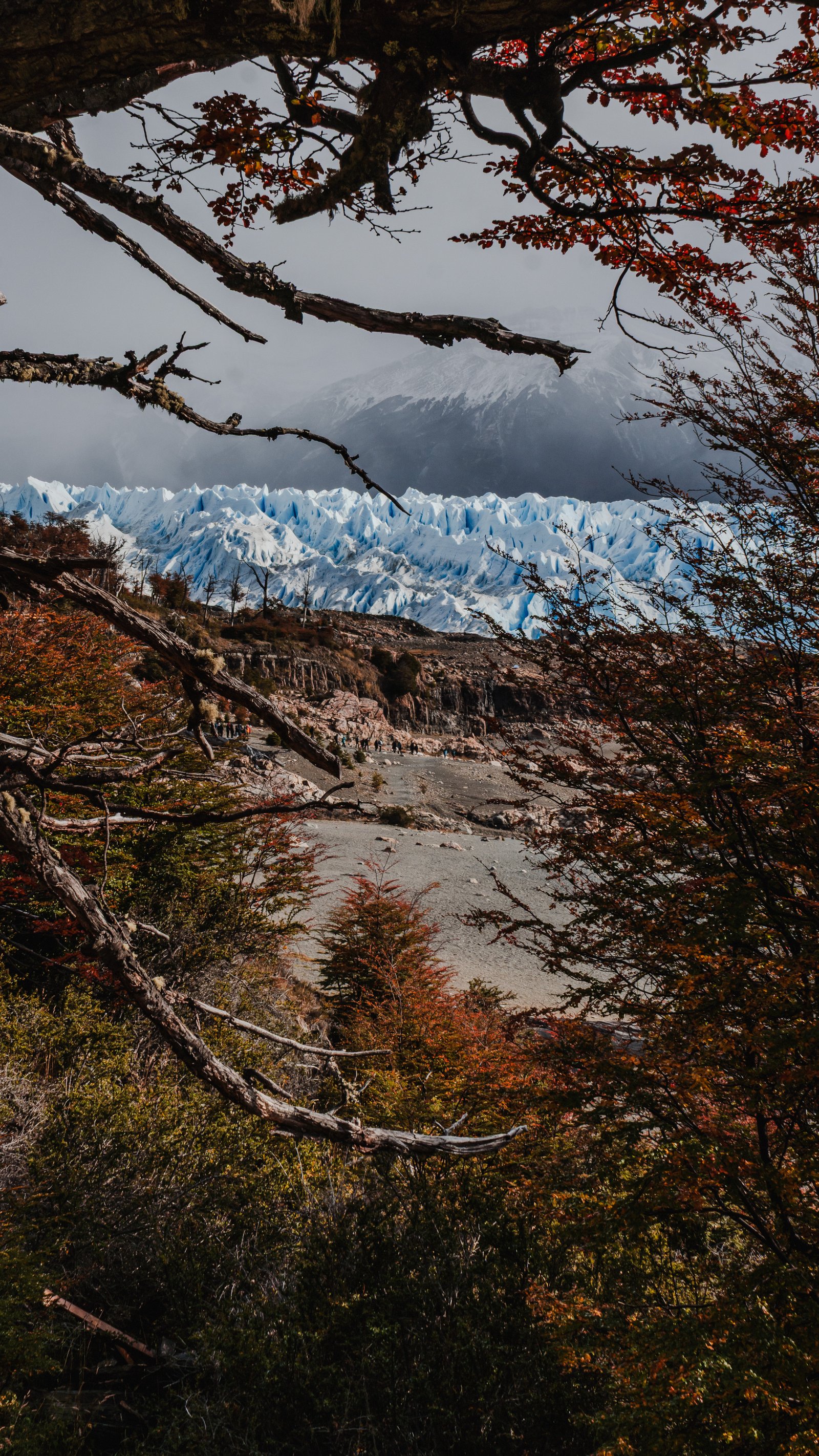
Autumn branches frame a rocky shoreline, with the glacier far off in the mist.
Above the Ice
4 photographsFrom the elevated walkways on the south shore, you can look directly down onto the glacier surface. The texture is relentless: every square metre is different, every crevasse unique.
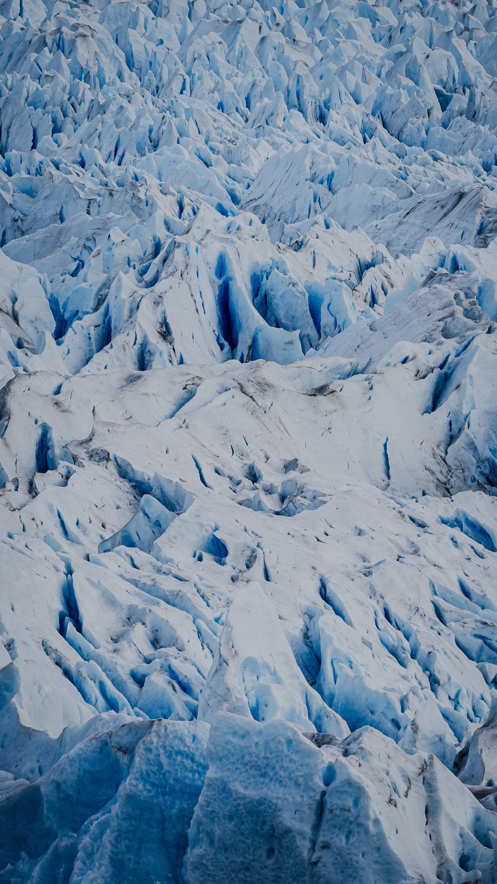
Crevasses and blue seracs across the glacier surface.
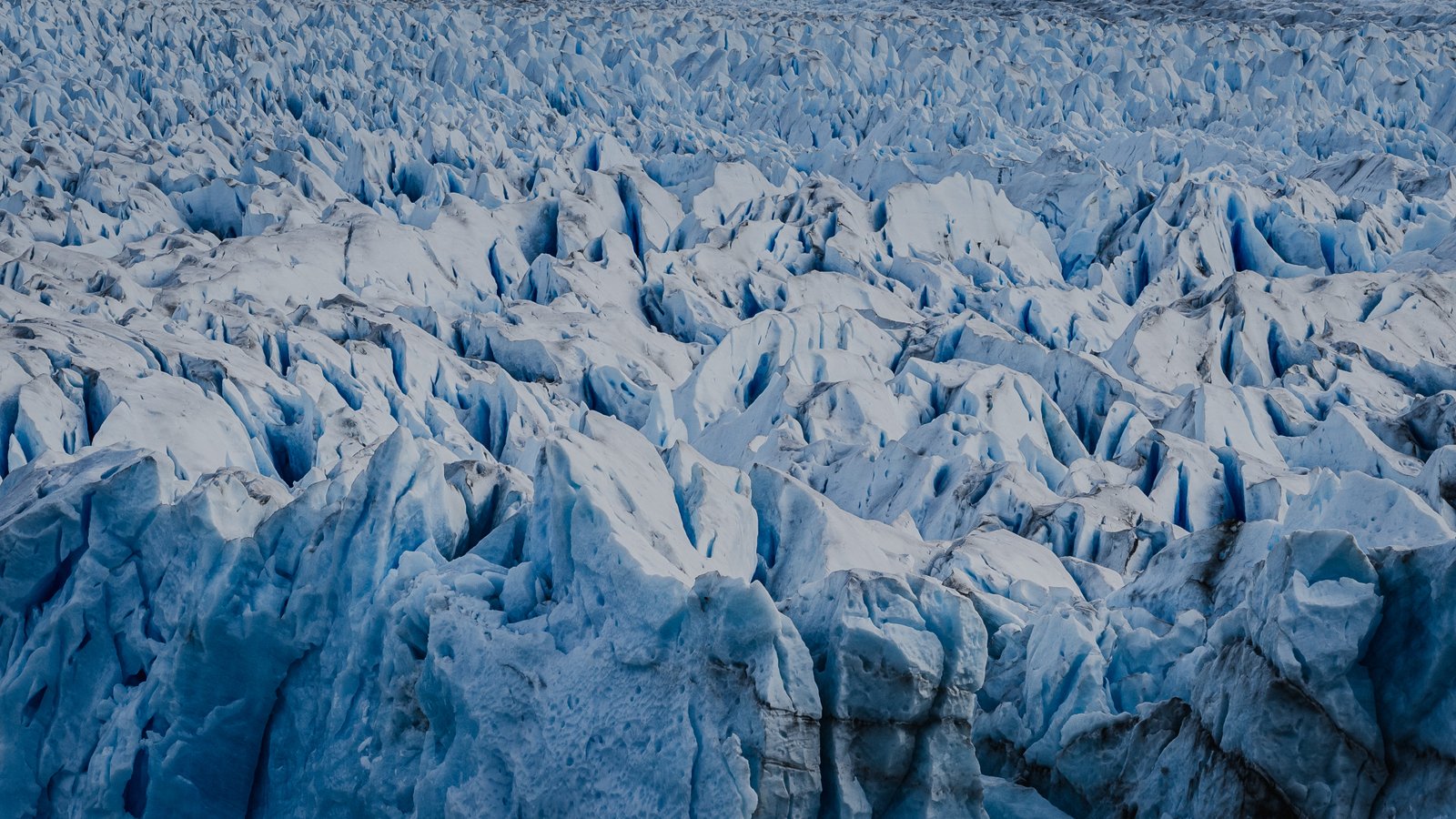
Fractured surface of the glacier stretching to the horizon.
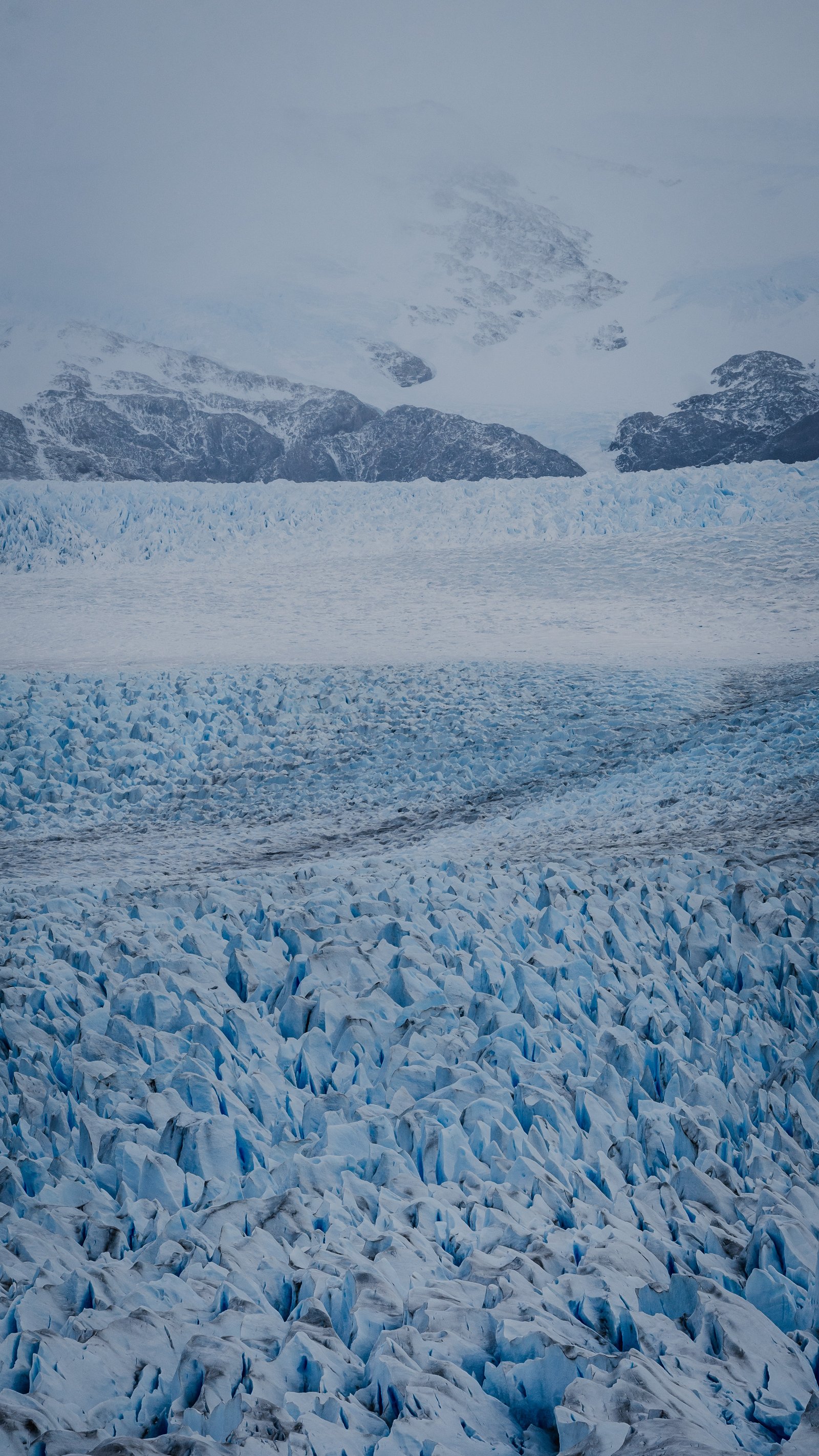
The glacier running back toward the fog, its far end lost in cloud.
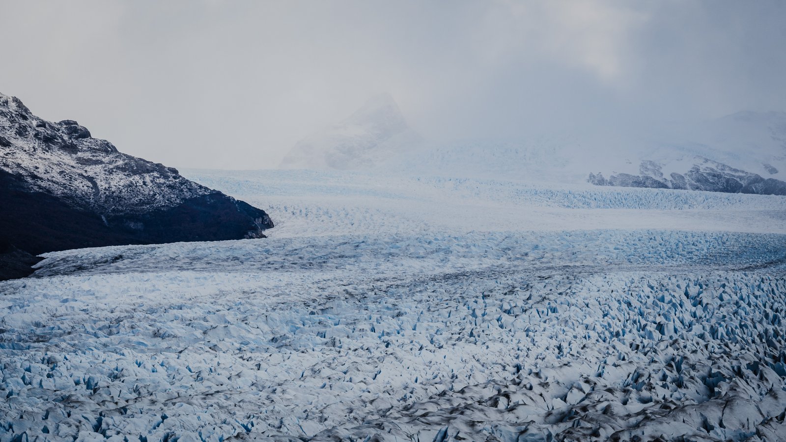
The glacier edge against the dark mountain. The boundary between ice and rock.
The Landscape
2 photographsTwo frames that place the glacier in its full context: the Andes behind, the lake below, the lenga on the hillsides. The thing about Perito Moreno is that every layer of the landscape is working at once.
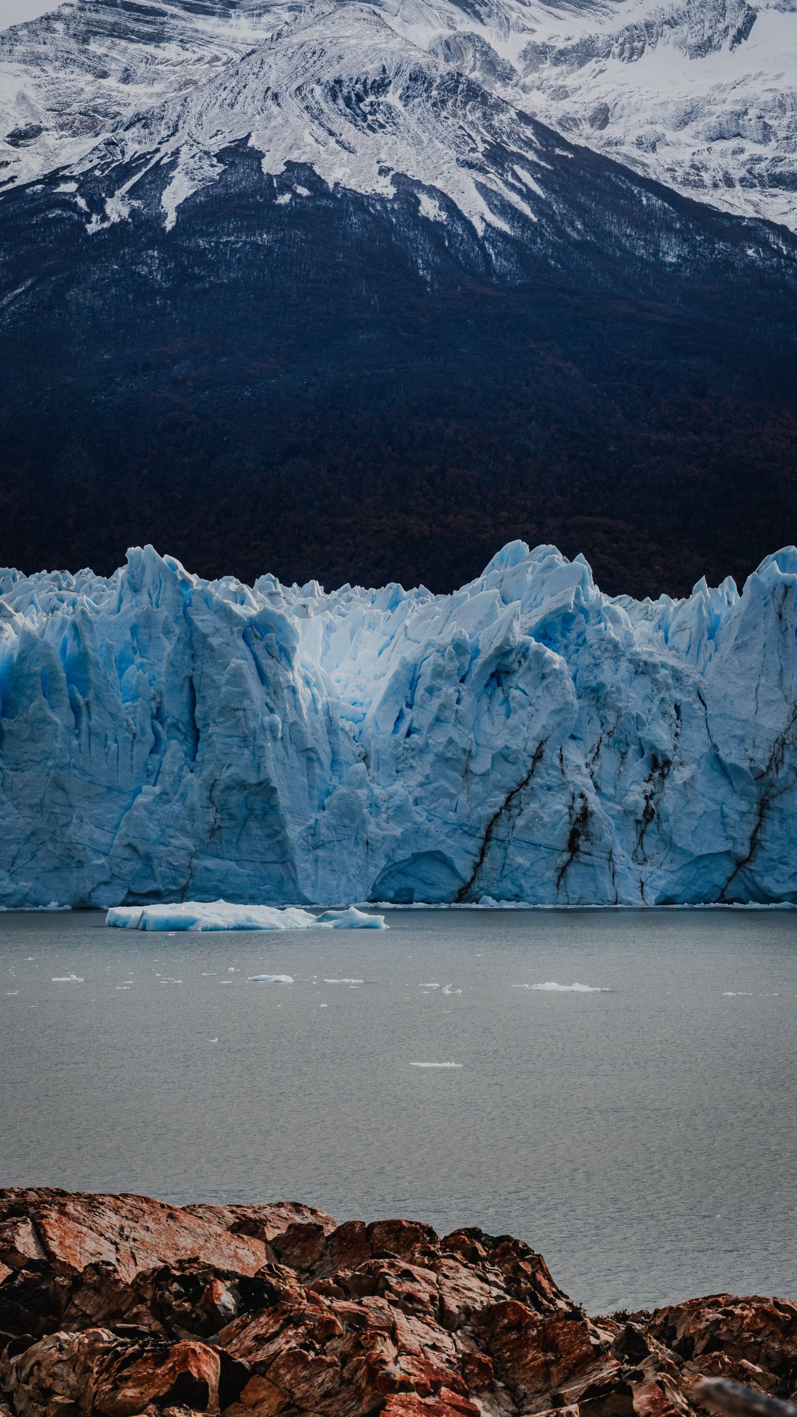
The glacier front across Lago Argentino, with snow-capped peaks and a dark forested slope behind.
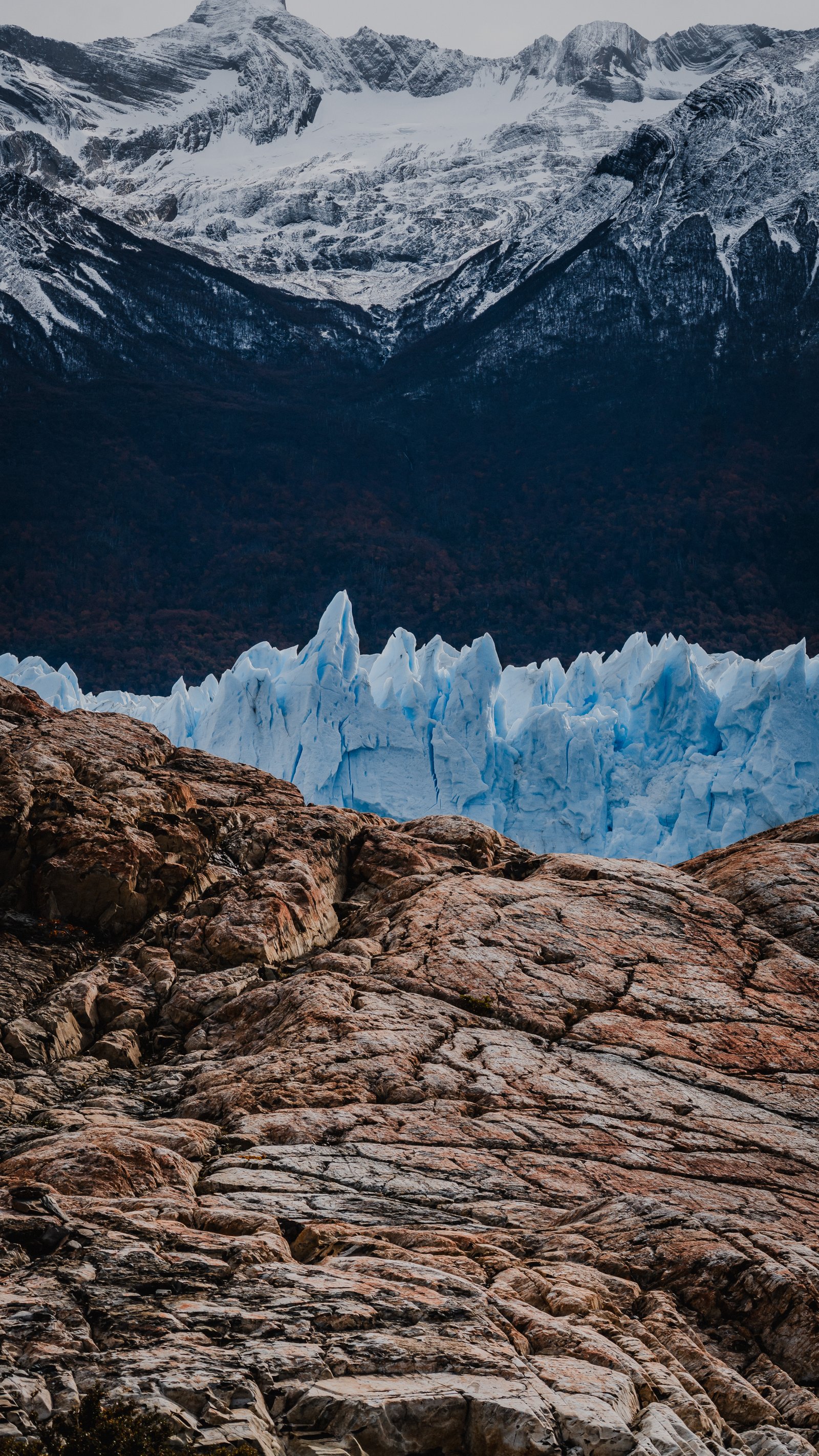
Orange rock in the foreground, the glacier front and snowy peaks beyond.
From the Lake
3 photographsThe boat puts you directly in front of the face, the only position where the 5-kilometre width starts to make sense. Even then, no single frame can hold it. These three frames try from different angles of the same crossing.
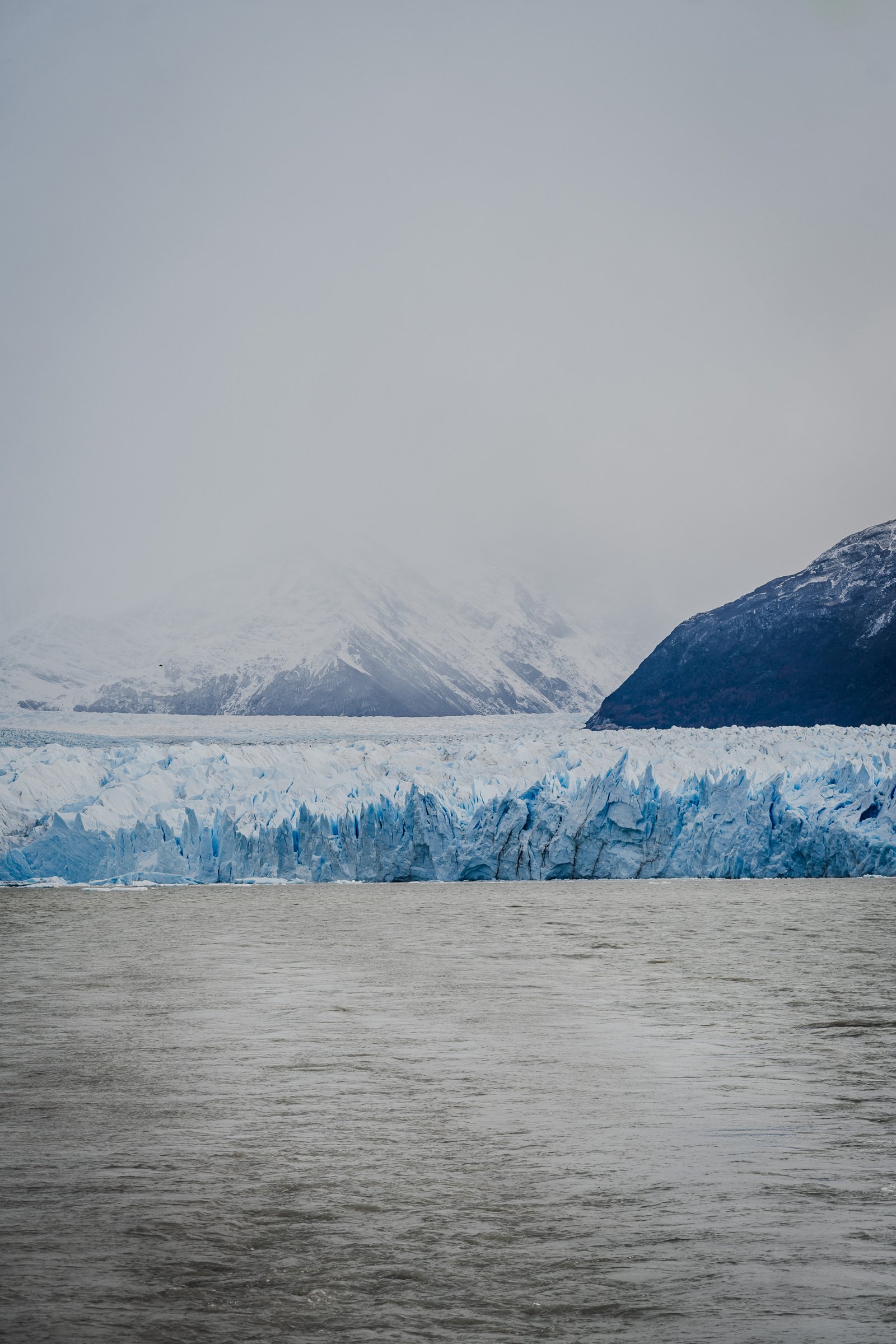
Fog erasing the mountains. The glacier seems to float.
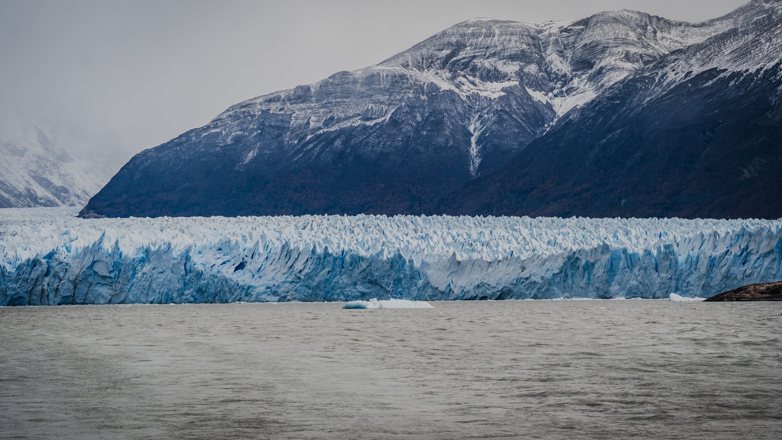
Complete lateral face of the glacier from the lake.
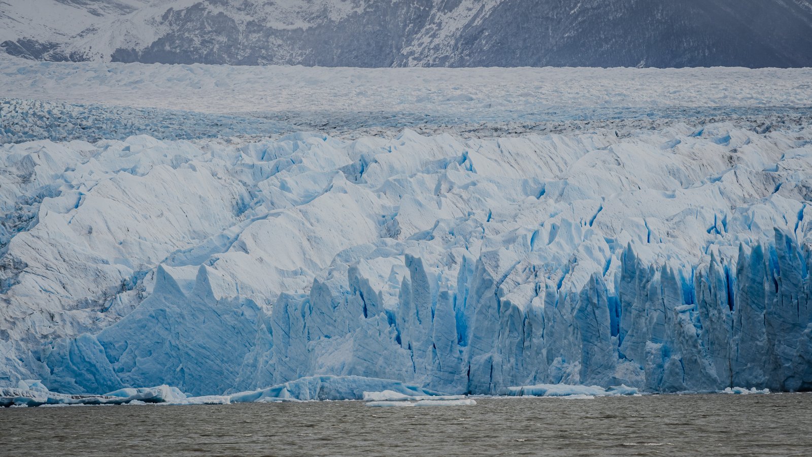
Textured ice face with blue seracs visible from the water.
El Chaltén
Fitz Roy and the end of the world.
12 photographs · 4 sequences
El Chaltén sits at the northern end of Los Glaciares National Park, at the base of the Fitz Roy massif. The Tehuelche people called the mountain Chaltén, meaning smoking mountain, for the permanent cloud that crowns its granite spire. The village is small, founded only in 1985, and it wears that youth well. In April, the trekking season winds down, the lenga forest turns red and orange, and the place becomes something else entirely.
The Village
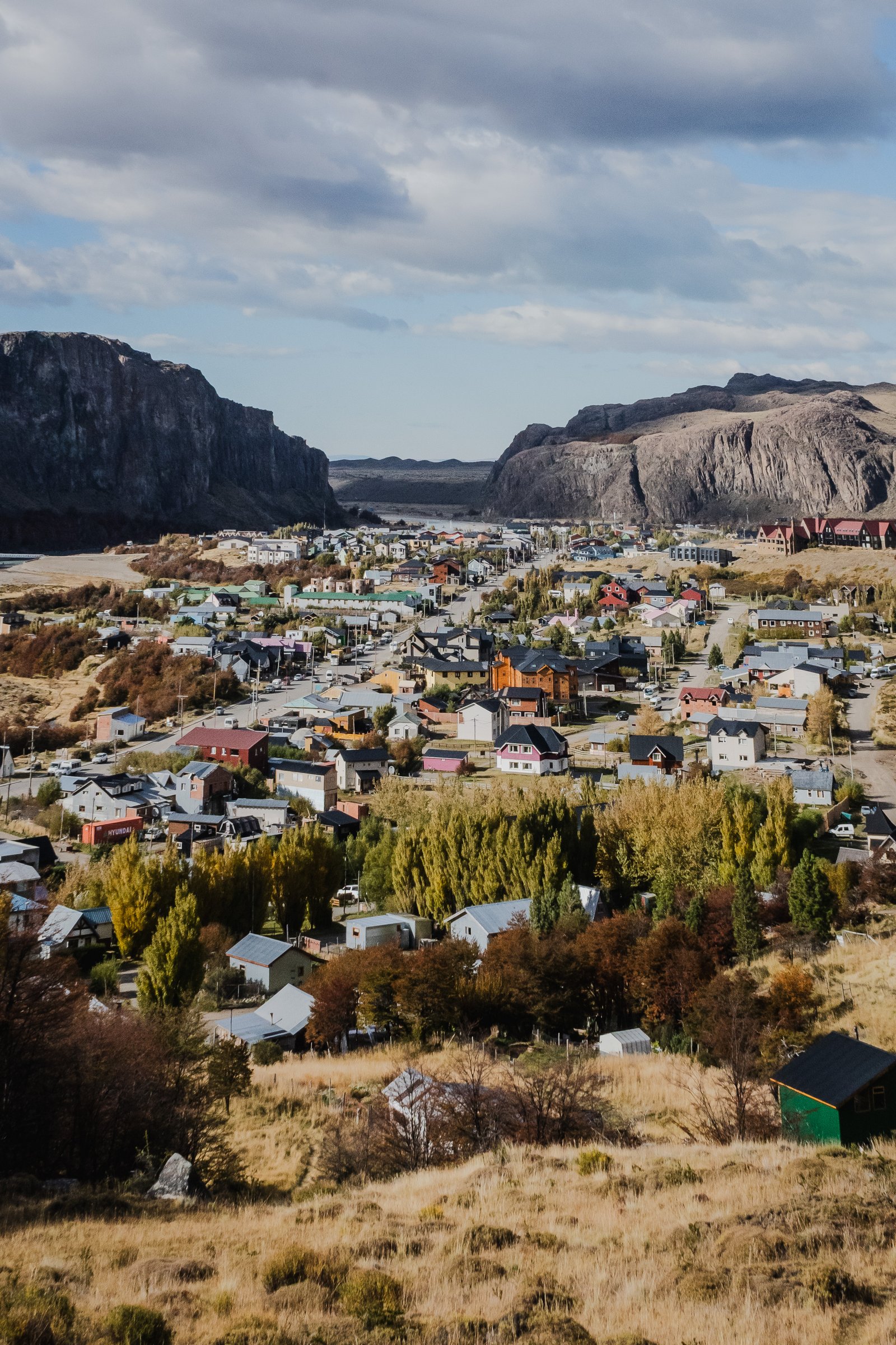
2 photographsEl Chaltén is where the road ends. Beyond it there's nothing but the mountains and the trails into them. The town is small: a few blocks, a gas station, restaurants that close early. Most of the people who live there came for a season and didn't quite leave. These two frames were made from the hillsides above town.
From above town. The village, the road, the valley, the mountains. Everything in the same frame.
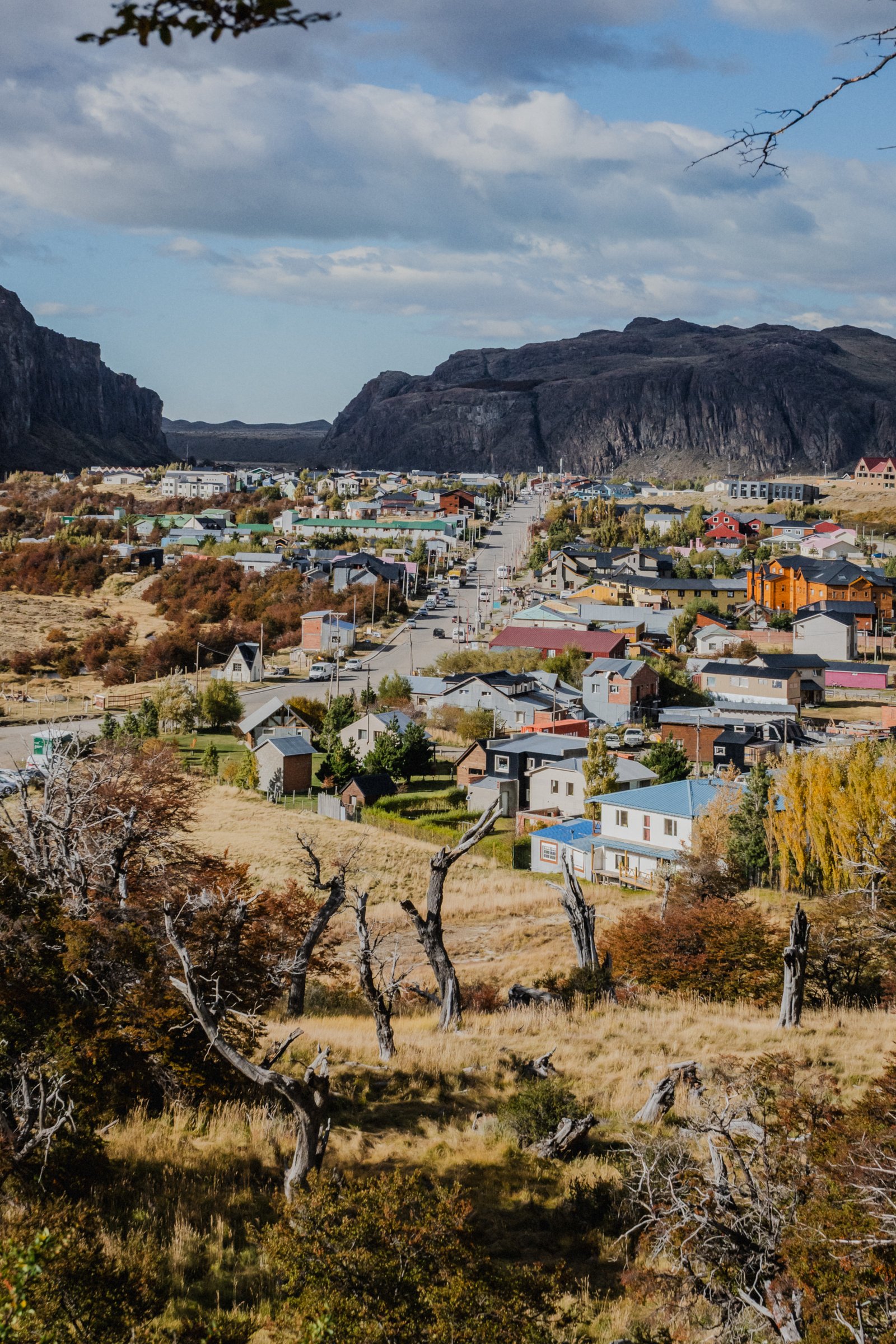
Bare lenga trees frame the rooftops. The valley opens behind.
The Valley
3 photographsMost people come for Fitz Roy and walk straight past the valley. The Río de las Vueltas runs turquoise through wide gravel beds. Above it, ancient rock walls rise from the steppe. If you slow down and stop at the right moment, the wildlife finds you.
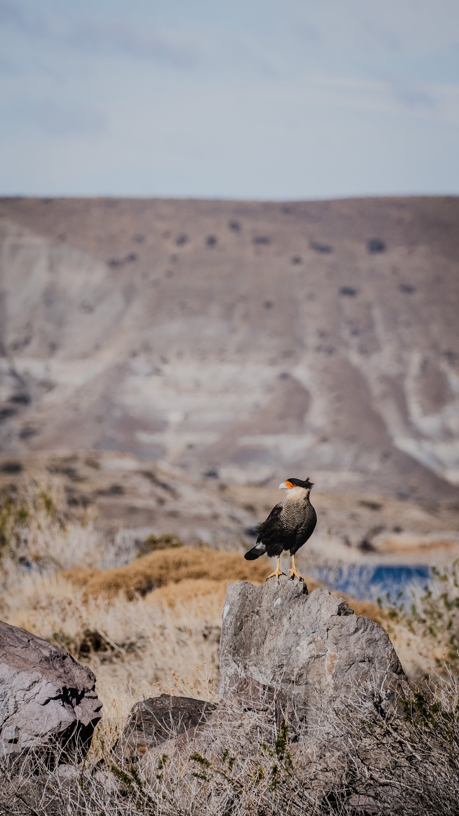
A Southern Crested Caracara perched on granite. The steppe stretches behind.
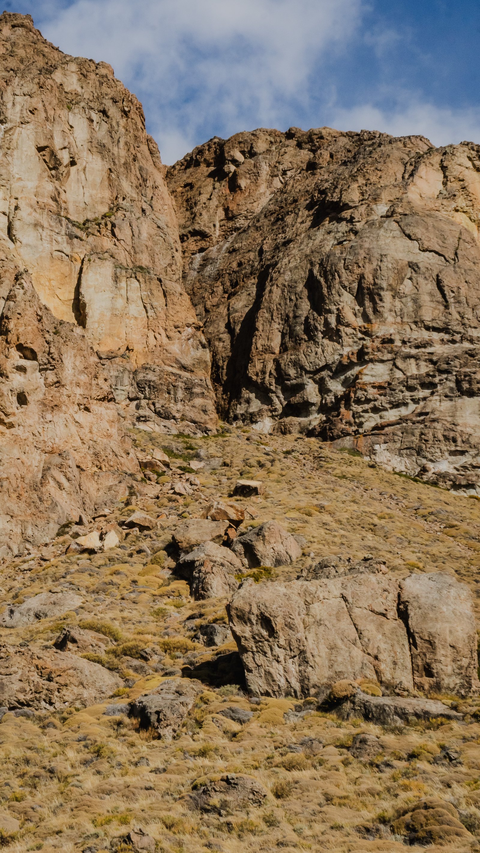
Ancient rock walls above the valley floor. Patagonian geology stripped bare.
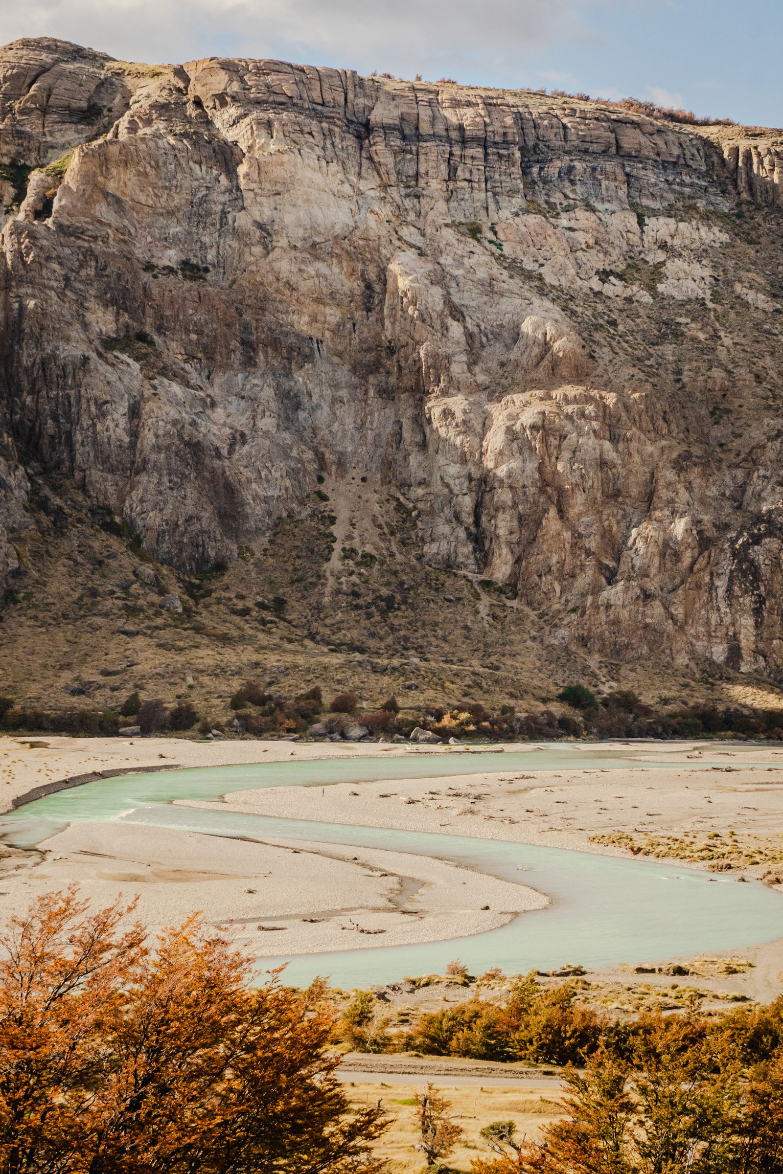
The Río de las Vueltas bending through its gravel floodplain. Autumn lenga on the slopes.
On the Trail
3 photographsThe trail to Laguna de los Tres climbs 1,000 metres over about 10 kilometres: lenga forest first, then open alpine terrain, then the glacial lake at the foot of the mountain. In April the forest is in full autumn colour and Fitz Roy appears and disappears through the trees the whole way up.
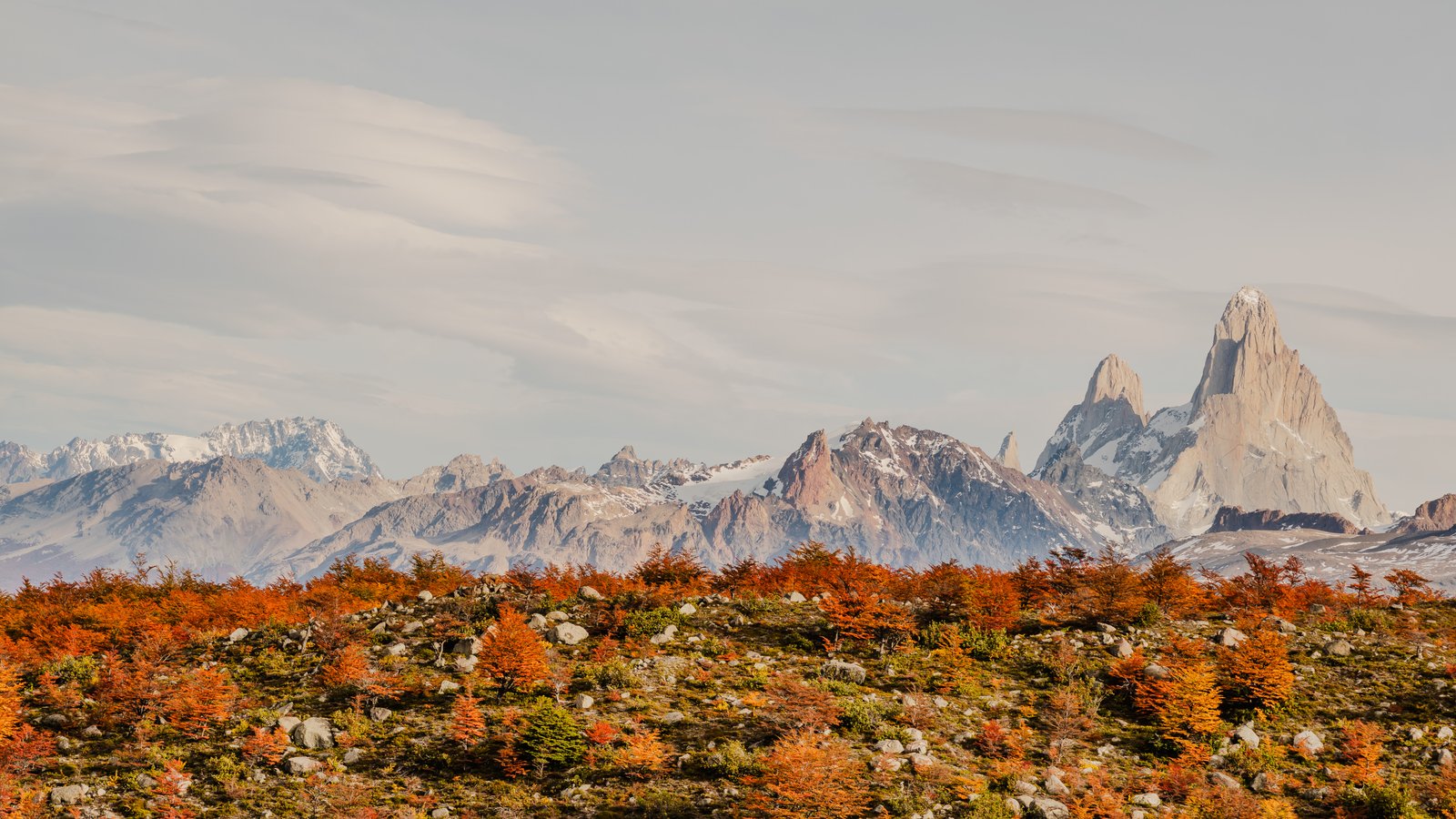
Monte Fitz Roy above the autumn lenga. The approach from the valley floor.
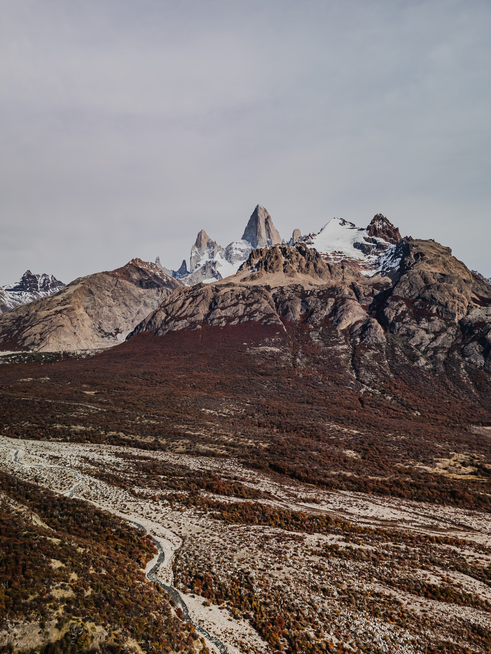
Fitz Roy and the valley from above. The lenga forest in full autumn colour.
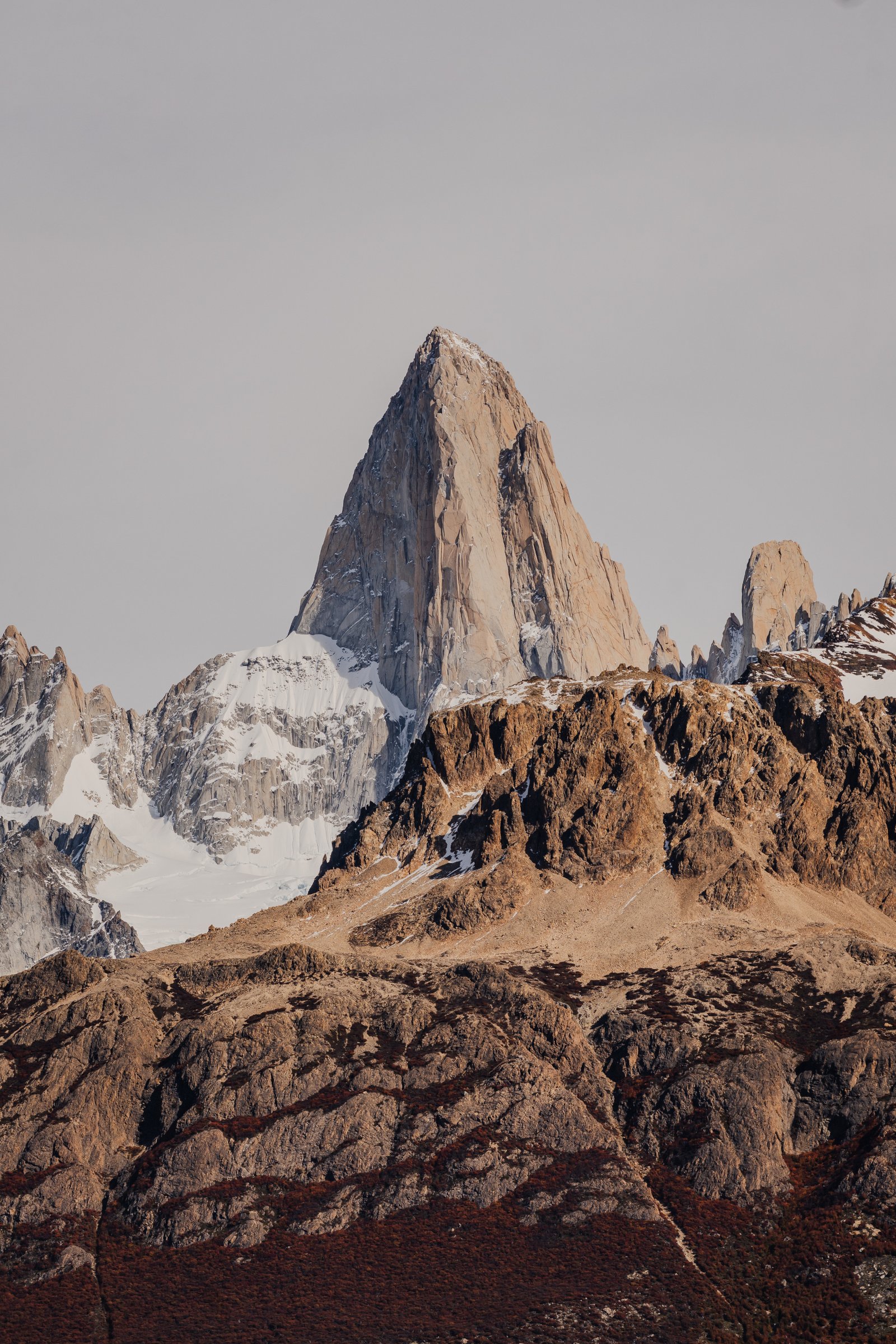
The moraine above the treeline. Red rock and snow-dusted peaks.
The Massif
4 photographsMonte Fitz Roy at close range. The rock is granite and the faces are mostly vertical, which is part of why it took until 1952 for anyone to reach the top, and years after that for a second ascent. From the moraine above the treeline these four frames look at nothing else.
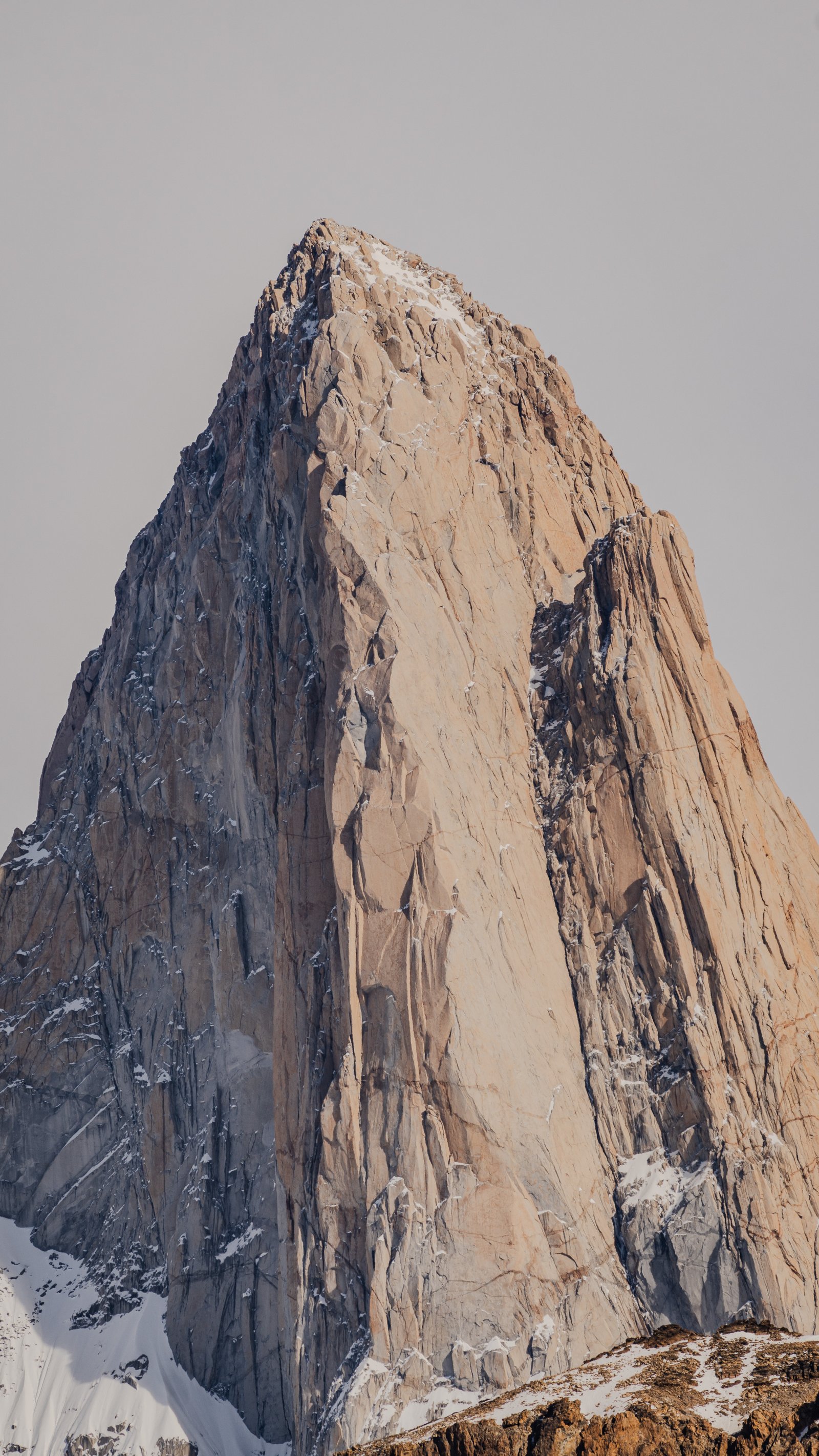
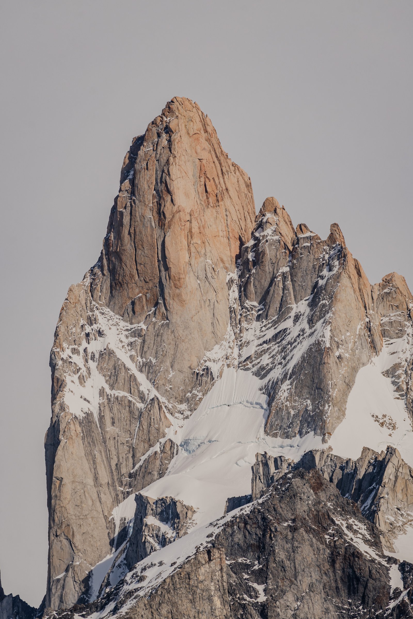
The sheer granite face of Fitz Roy. Nothing but rock and sky.
The summit pyramid and its satellites. Snow lodged in every crevice.
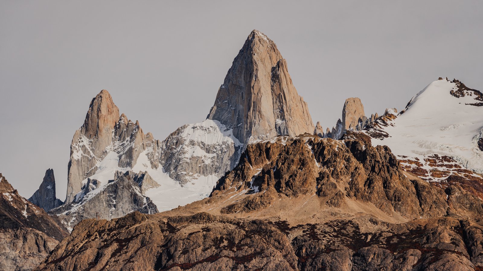
The Fitz Roy massif from end to end. Granite and snow against Patagonian sky.
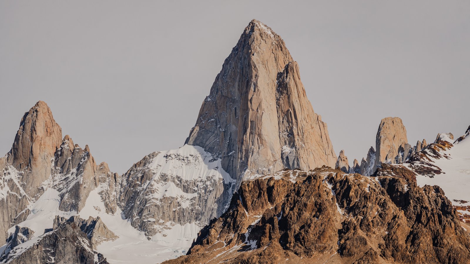
Monte Fitz Roy rising above the moraine. The summit at close range.
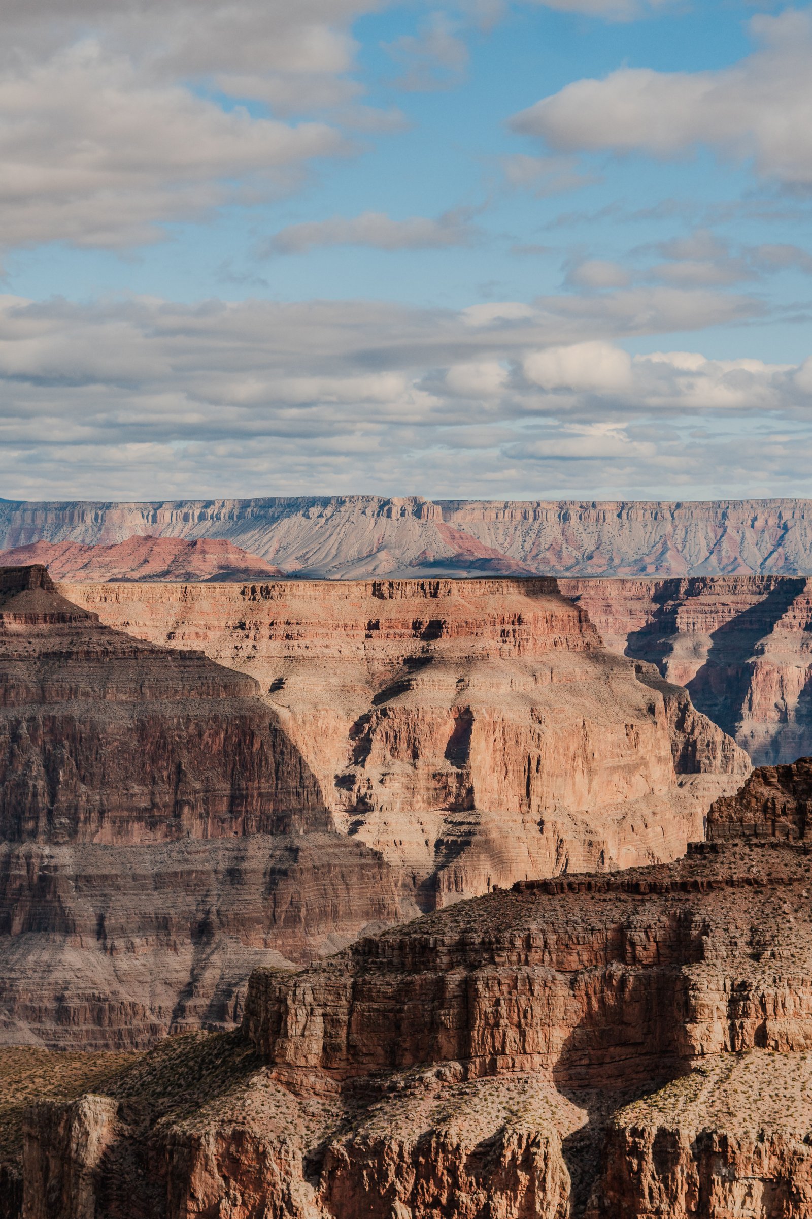
Grand Canyon
One mile deep, 277 miles long, and more than you can see in a lifetime.
12 photographs · 4 sequences
The Grand Canyon is not a landscape you photograph accurately. The scale defeats every lens. These twelve images were made at Grand Canyon West, on the Hualapai Reservation: the ravens before you reach the void, the stratified walls in afternoon light, the panoramas that repeat themselves without repetition, and the Colorado River visible from above like a thread more than a kilometre below your feet.
Arrival
2 photographsThe canyon announces itself before you see it: the shuttle bus, the dust, the ravens. These two frames were made before reaching the rim, at the entry zone where the scale has not yet registered. The raven in the second frame already knows the void behind it.
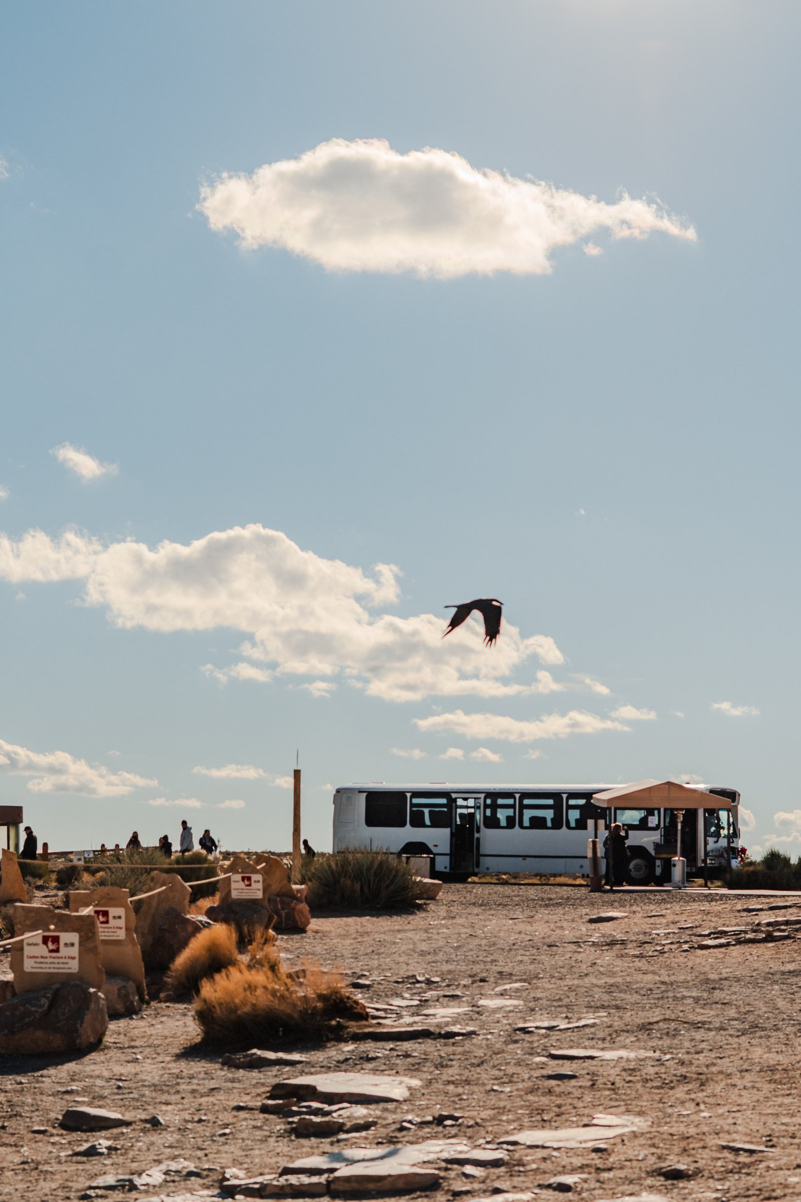
The shuttle stop at the rim, a raven overhead. The canyon is a few steps away and still out of sight.
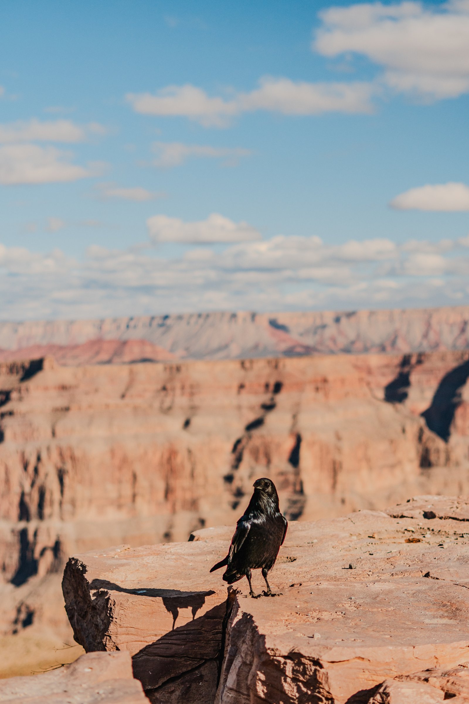
A raven on the rim, the layered canyon stretching away behind it.
The Rim
3 photographsGrand Canyon West sits on the Hualapai Reservation, in the western part of the canyon, and here the rim is not one long trail but a chain of viewpoints you move between by shuttle. These three frames document the approach: the stratified walls beginning to appear, the flat dry plateau before the drop, and the red sandstone ledges at the edge of a viewpoint.
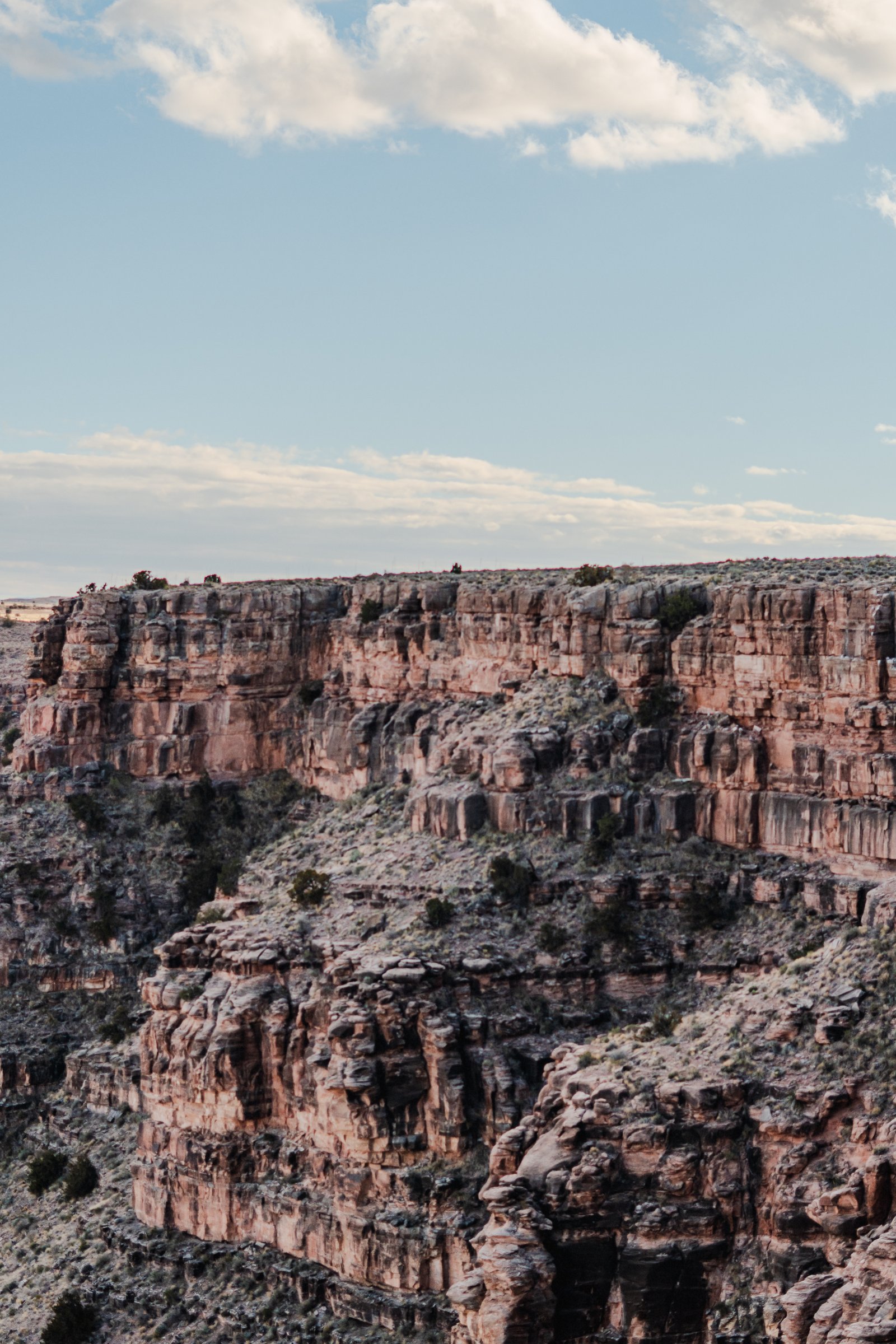
Stratified walls dropping from the rim, the layers stepping down into shadow.
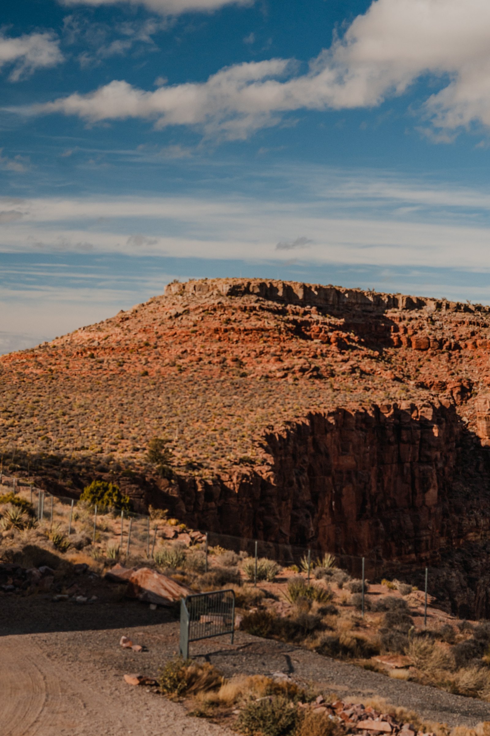
The approach road. Flat and completely unremarkable until it isn't.
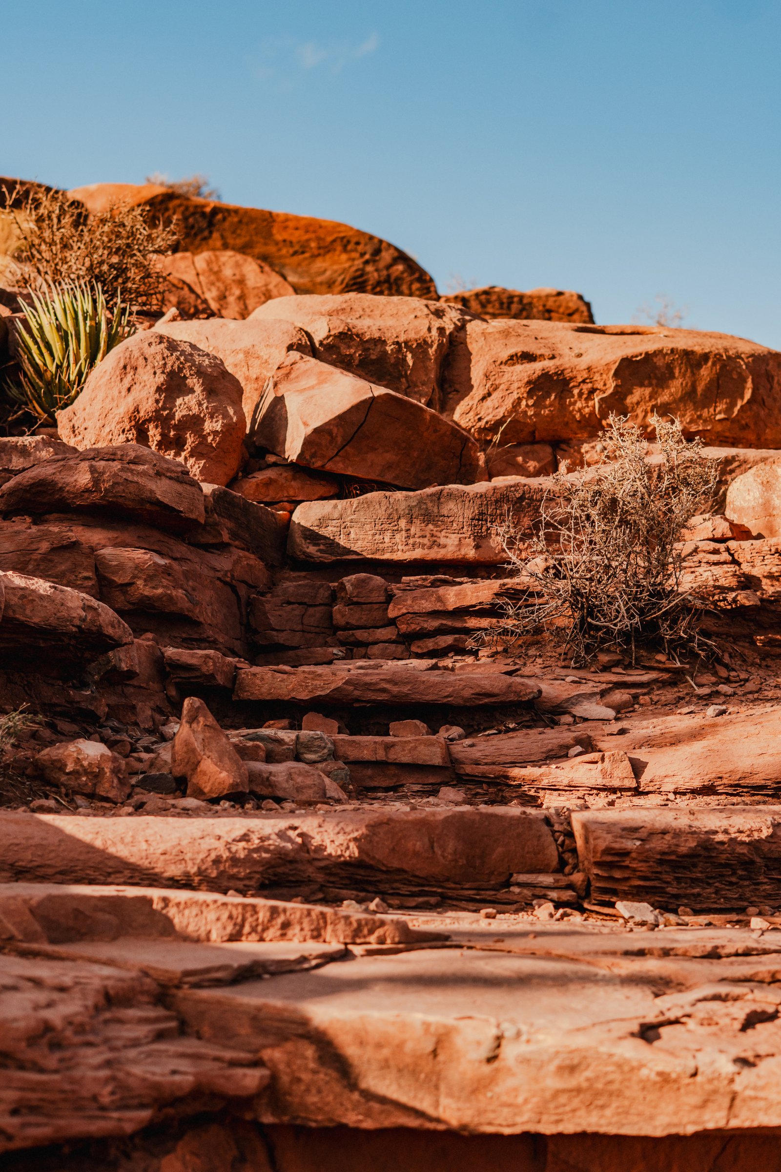
Red sandstone ledges stepping toward the rim, a yucca in the corner of the frame.
The Canyon
4 photographsThe Grand Canyon is 277 miles long, a mile deep, and impossible to hold in a single frame. These four photographs were made from the viewpoints at Grand Canyon West as the afternoon light moved west across the buttes. Each frame is the same canyon from a different angle of the same hour.
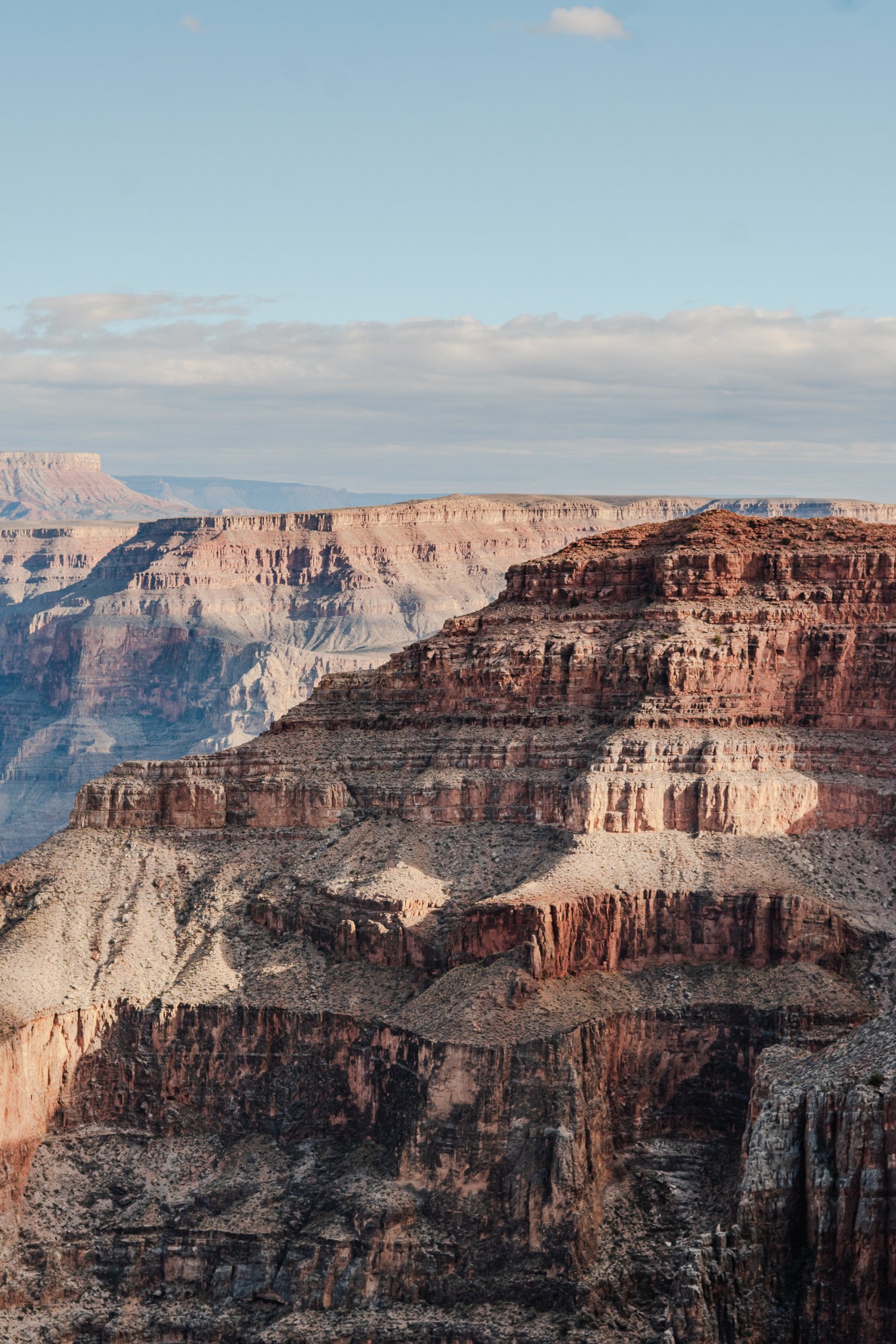
Warm light on the middle buttes, cooler tones fading toward the far wall.
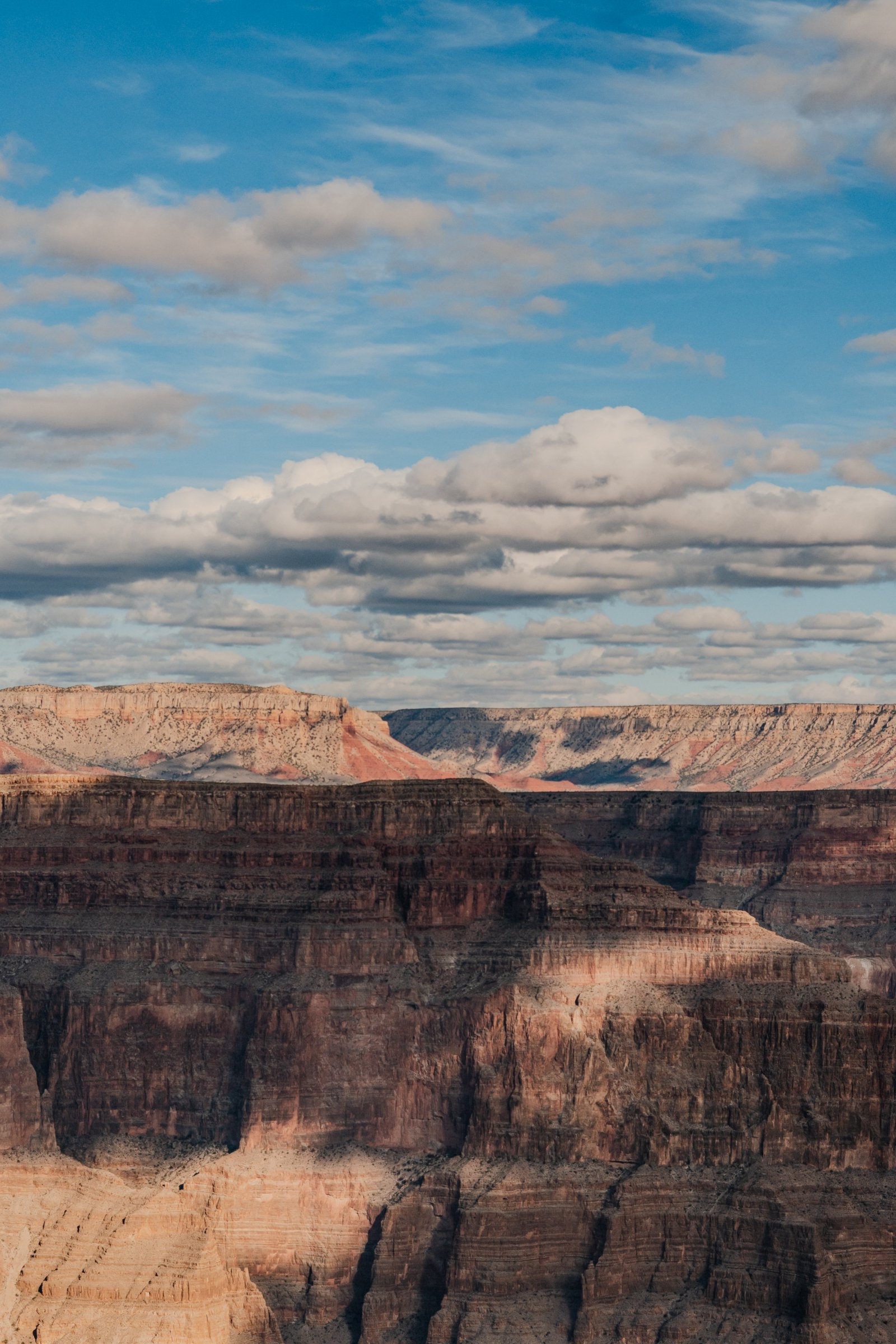
Late afternoon light across the canyon. Horizontal strata that record nearly two billion years.
Late afternoon. Five to six million years of erosion sitting still in front of you.
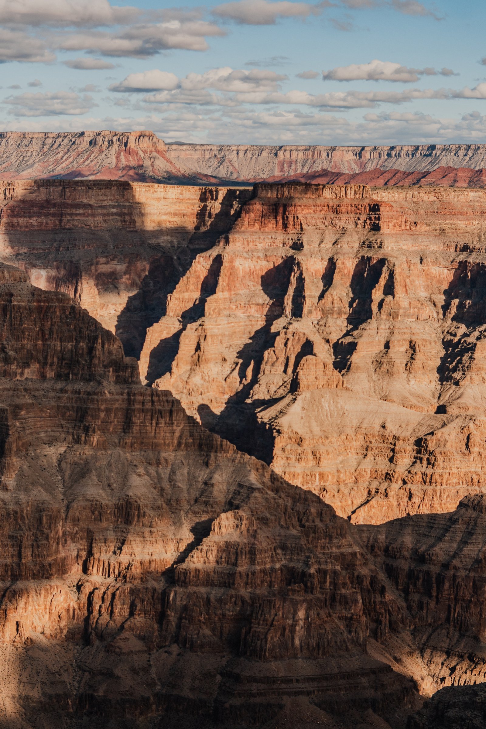
Late light. The lower sections go dark first, and the rim holds the sun longest.
Into the Deep
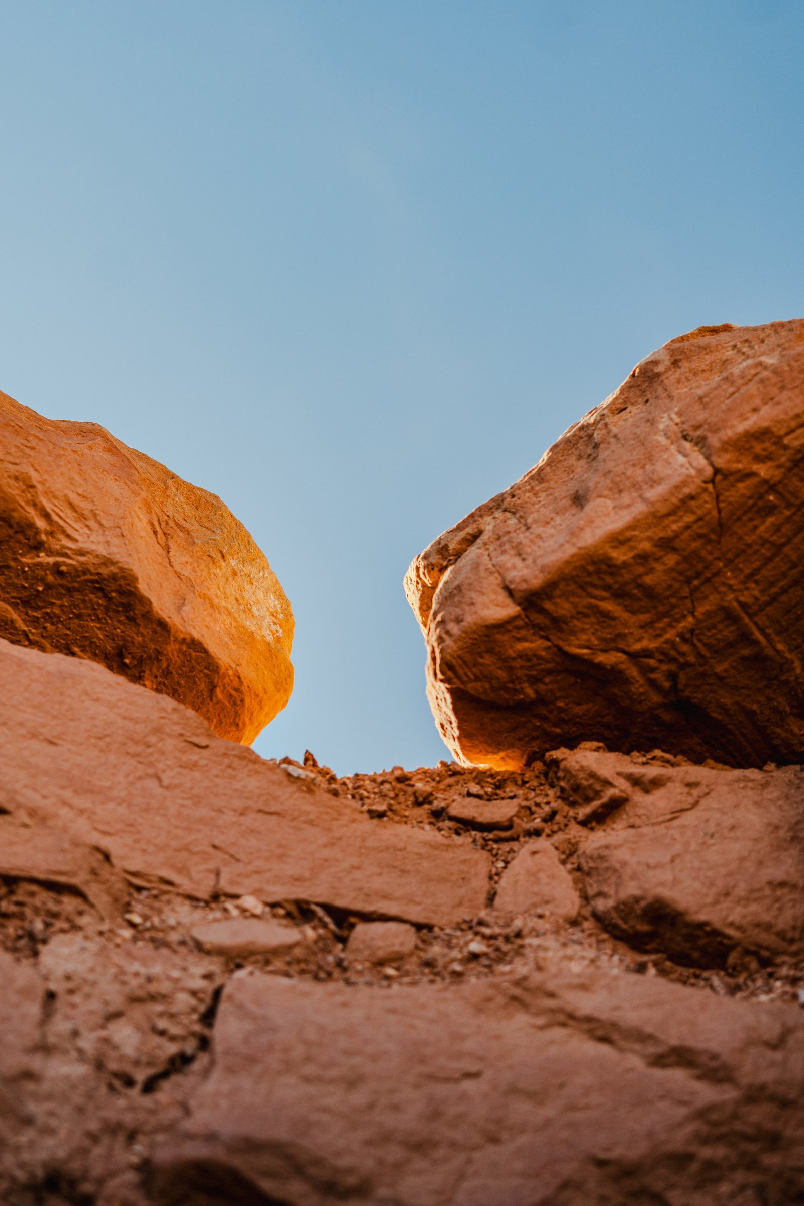
3 photographsFrom the rim the Colorado looks like a brown ribbon. It takes a moment to register that it's more than a kilometre below you and moving fast. These three frames move downward through the geometry of the canyon: the gap between boulders at the edge, the dark inner walls, the river at the bottom.
Looking up through the gap between two boulders at the canyon's edge. The sky reduced to a sliver.
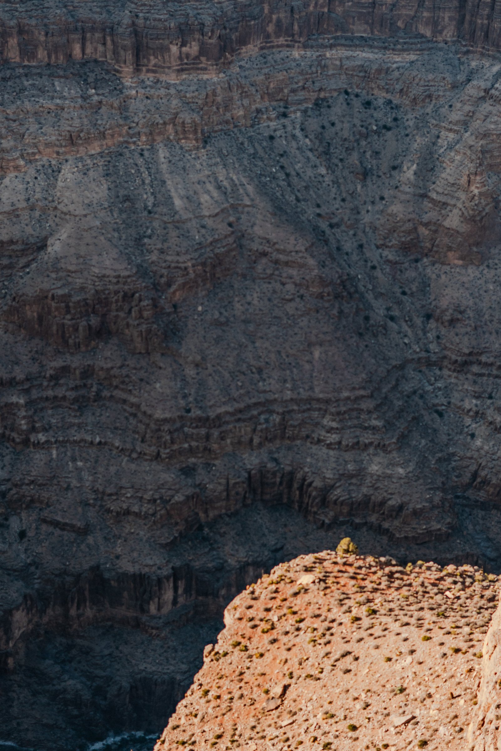
A sunlit promontory against the dark inner wall. The depth doesn't photograph the way it looks in person.
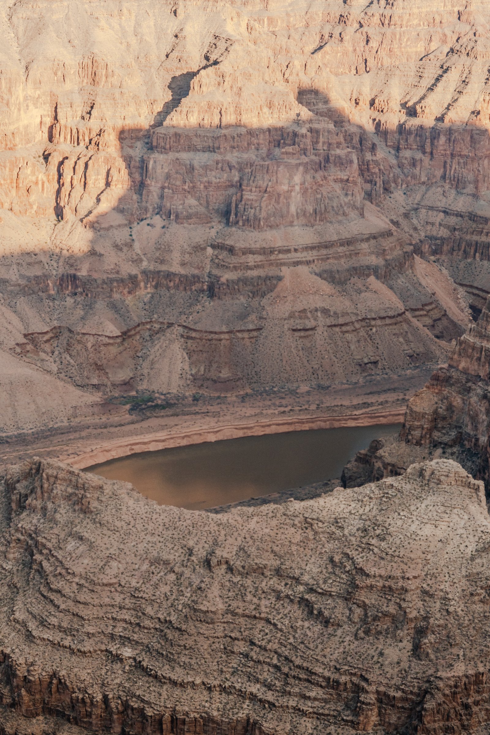
The Colorado River bending through the canyon, far below the rim.
Bariloche
Granite towers and autumn forest above Lago Nahuel Huapi.
15 photographs · 5 sequences
Bariloche sits on the eastern shore of Lago Nahuel Huapi, at the edge of a trail system that reaches deep into the Andes. The granite cirque above Refugio Frey is the centrepiece: a ring of rock towers rising from a glacial lake at 1700 metres. In autumn, the lenga beech forest below turns deep orange and the contrast with the grey granite is something that requires being there. These five sequences were made over two days in the cirque, on the approach, and in the village below.
The Town
2 photographsBariloche from above, in autumn. The rooftops through the autumn forest, the lake behind, the Andes behind that. The city is denser than it looks from the trailheads. You only notice it from the hillsides.
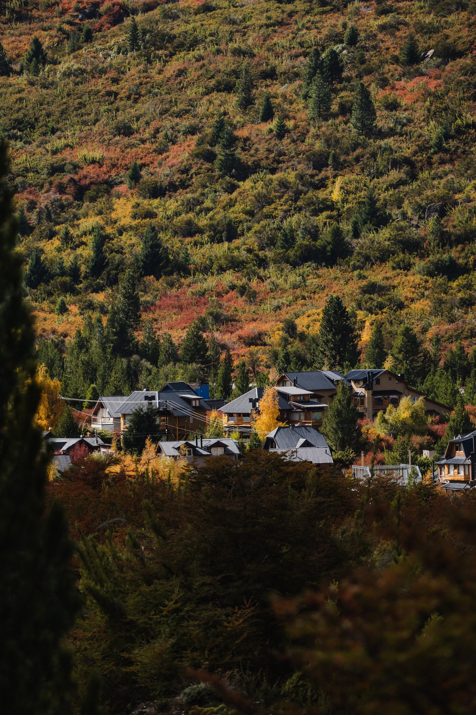
Rooftops among autumn colour on the slope above Bariloche.
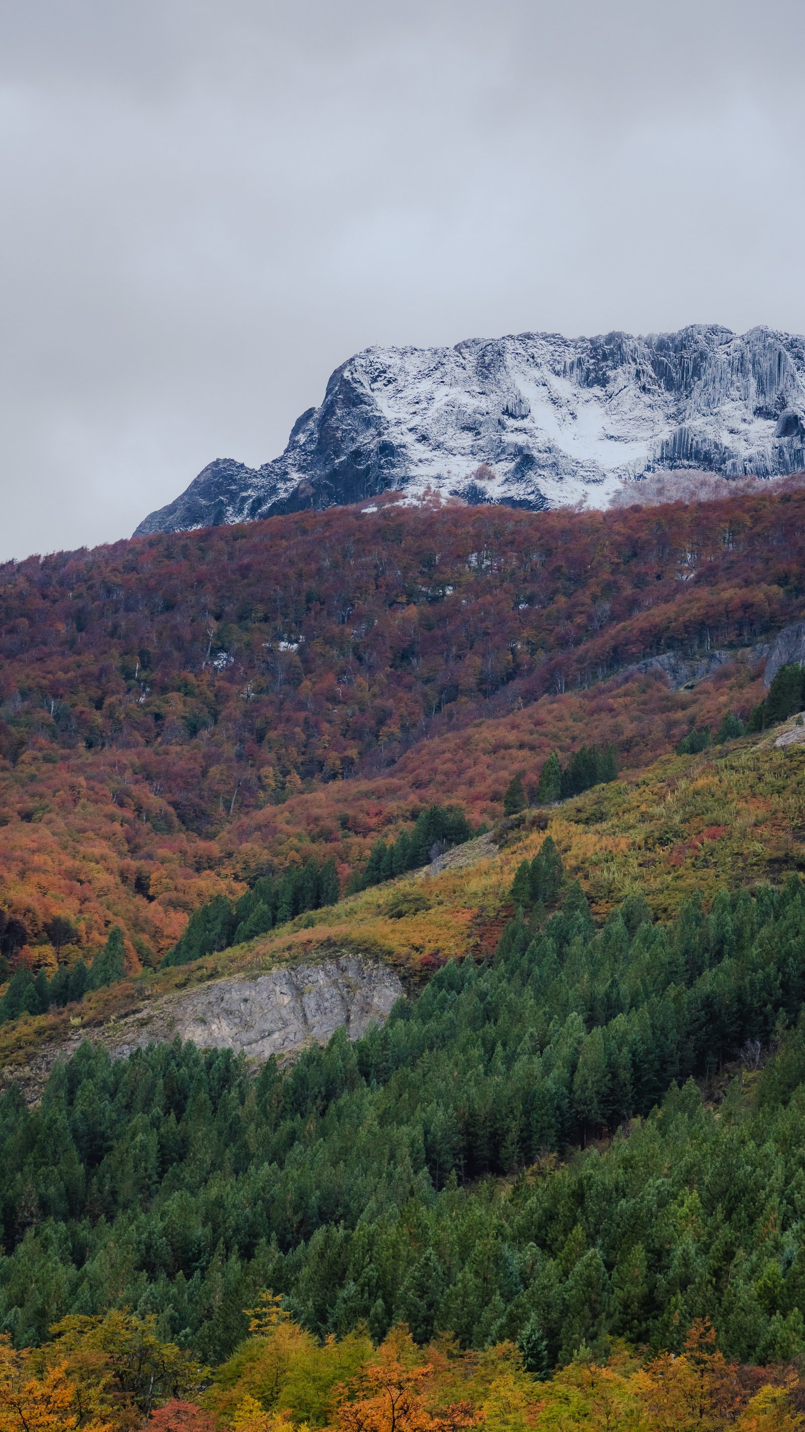
Overcast. The peak above the treeline. The winter was coming in fast.
Autumn on Fire
3 photographsThe lenga turns red and orange in April and May while the coihue pines stay green. On the same hillside you get every shade at once. These three frames hold that moment before the cold takes the colour out.
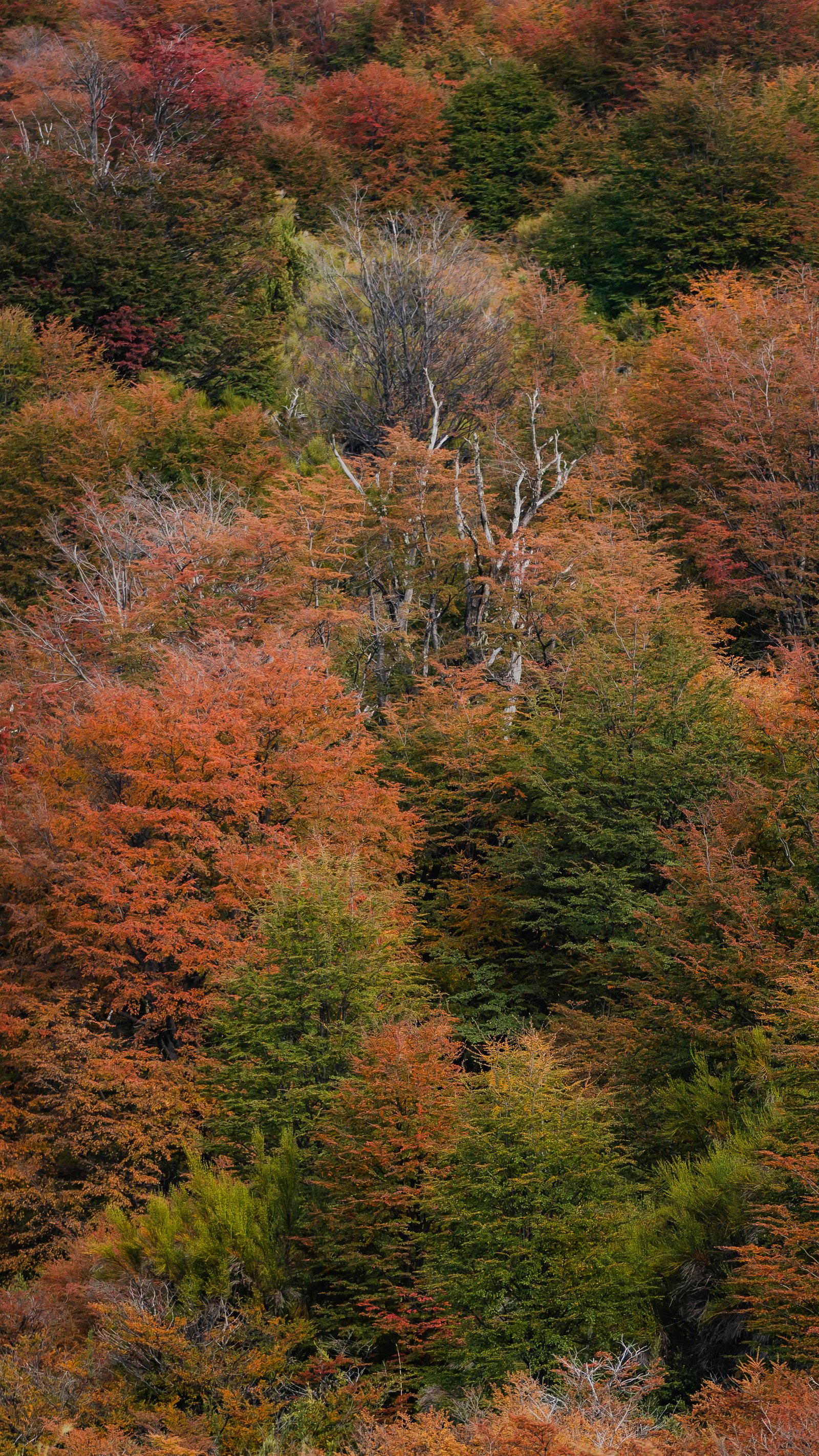
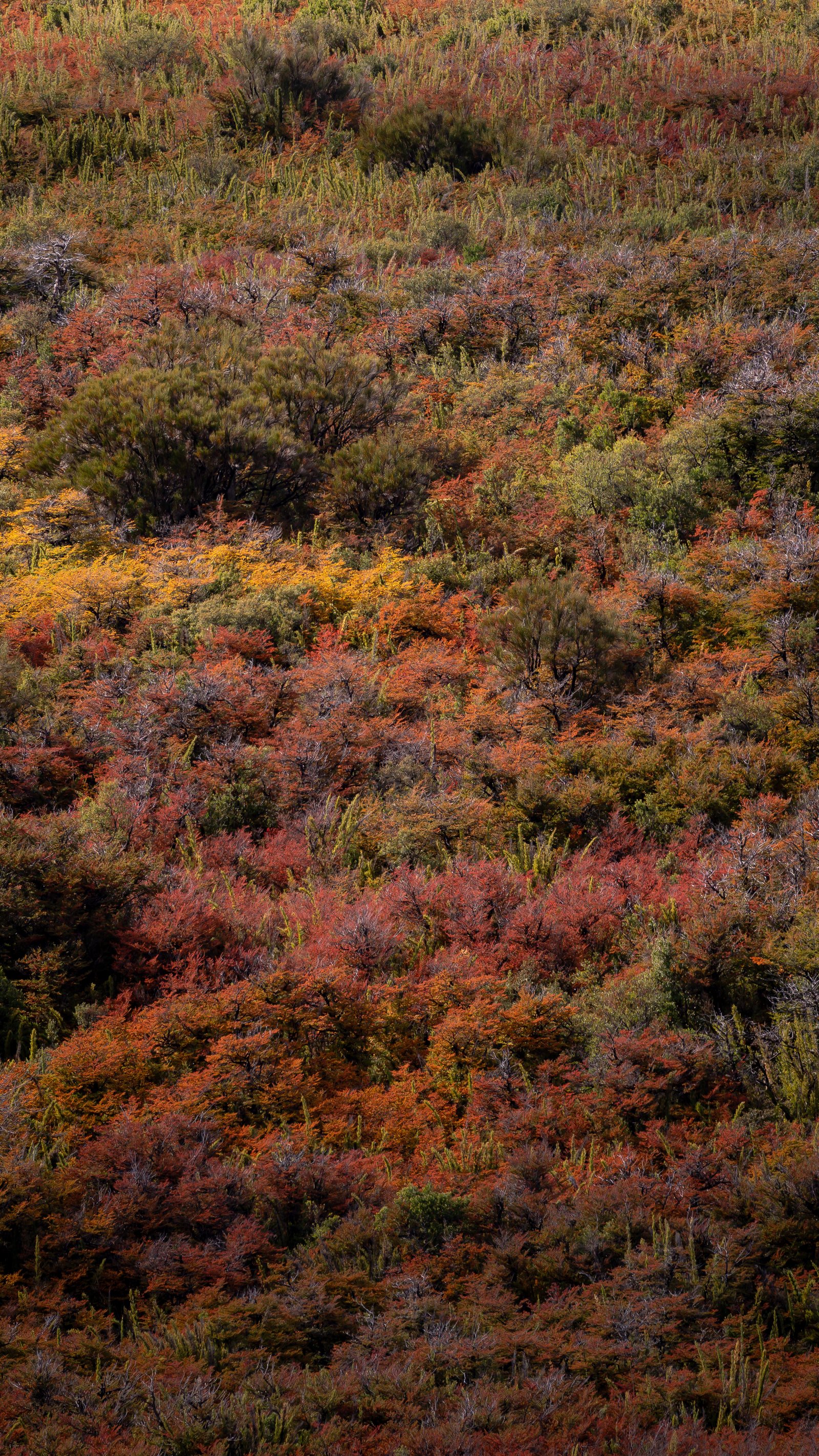
Lenga and coihue in full autumn colour. Every shade of orange compressed into one hillside.
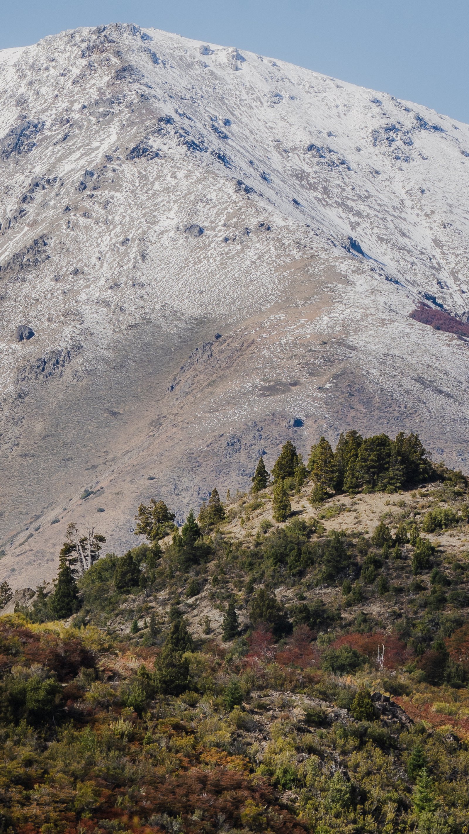
Stunted trees on the exposed slope. The zone where the forest gives up.
First snow on the summit. Conifer forest holding green below the snowline.
Into the Mountains
3 photographsThe trail to Refugio Frey climbs through coihue forest and open rock terrain above the Villa Catedral ski resort. As the trees thin, the granite takes over. These three frames document the transition from forest to exposed ridgeline, where the first views of the high cirque begin to open.
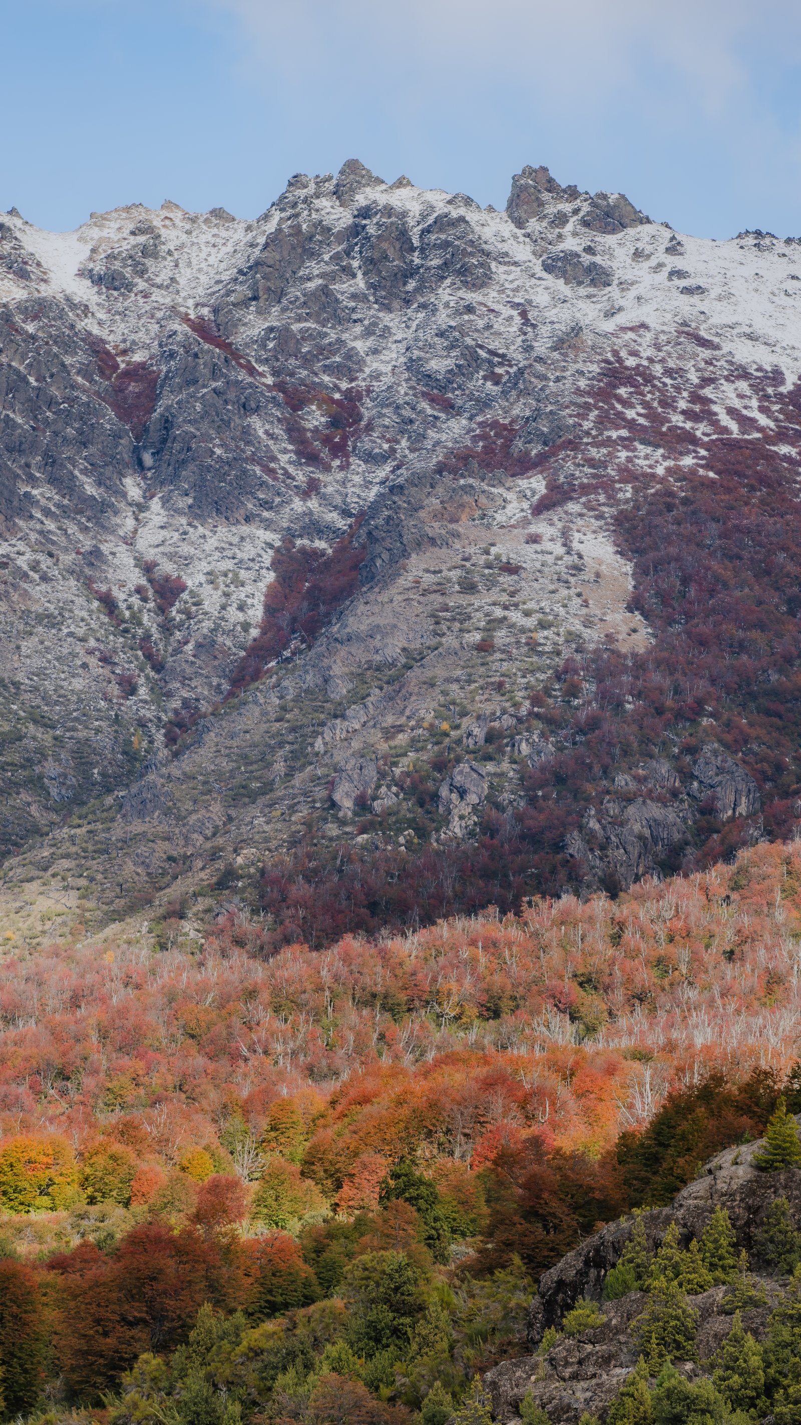
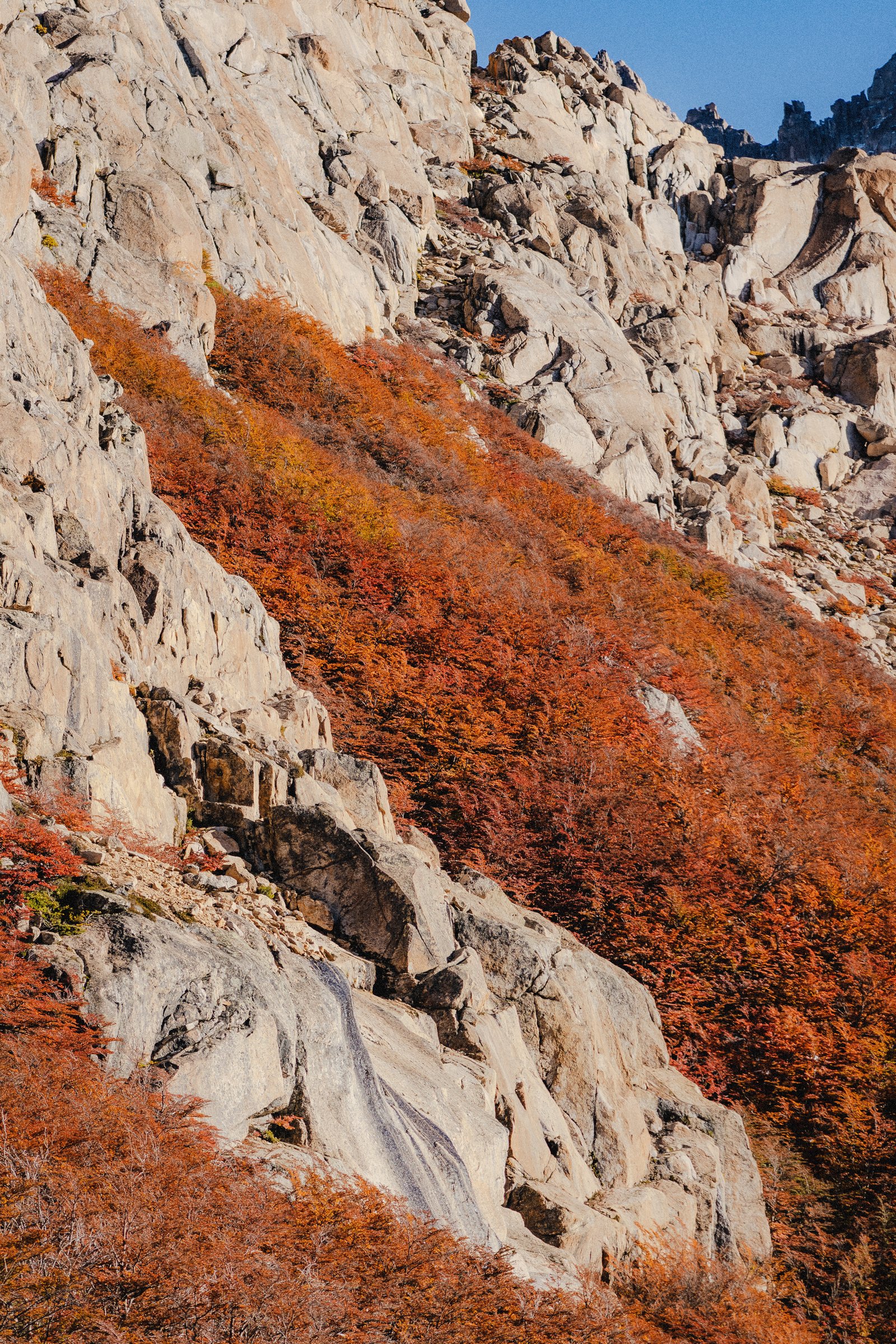
Granite ridgeline above the treeline. Autumn scrub in the couloirs below, snow on the upper rock.
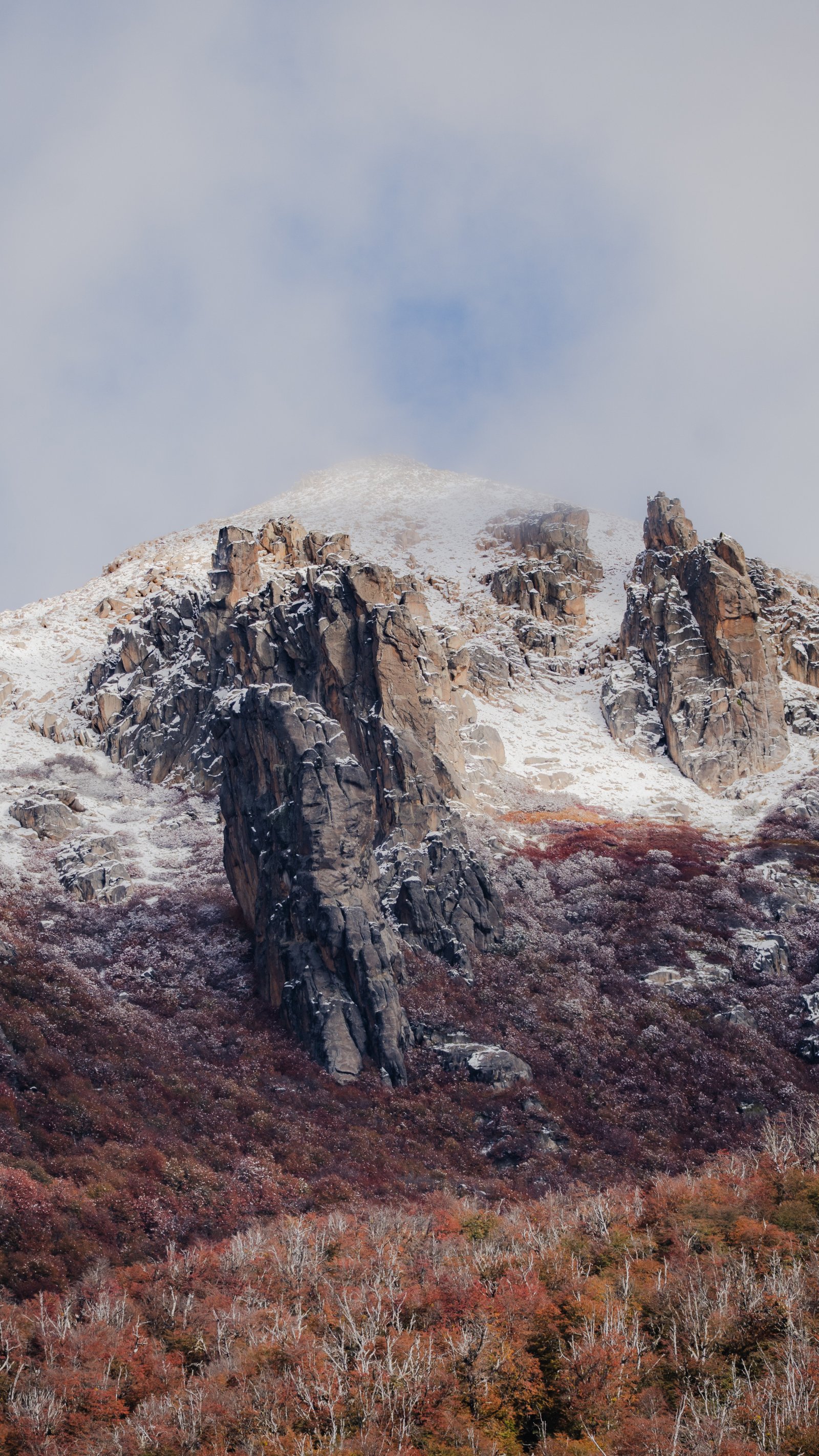
Dark rock towers dusted with snow, cloud lifting off the summit, autumn scrub below.
Pale granite slabs meeting a slope of orange autumn scrub.
The Pinnacles
4 photographsThe granite towers above Refugio Frey are among the best rock in Patagonia. Climbers come from around the world for the routes on these spires. In autumn the rock takes warm golden light in the mornings and holds it long into the afternoon. Four frames focused entirely on the granite.
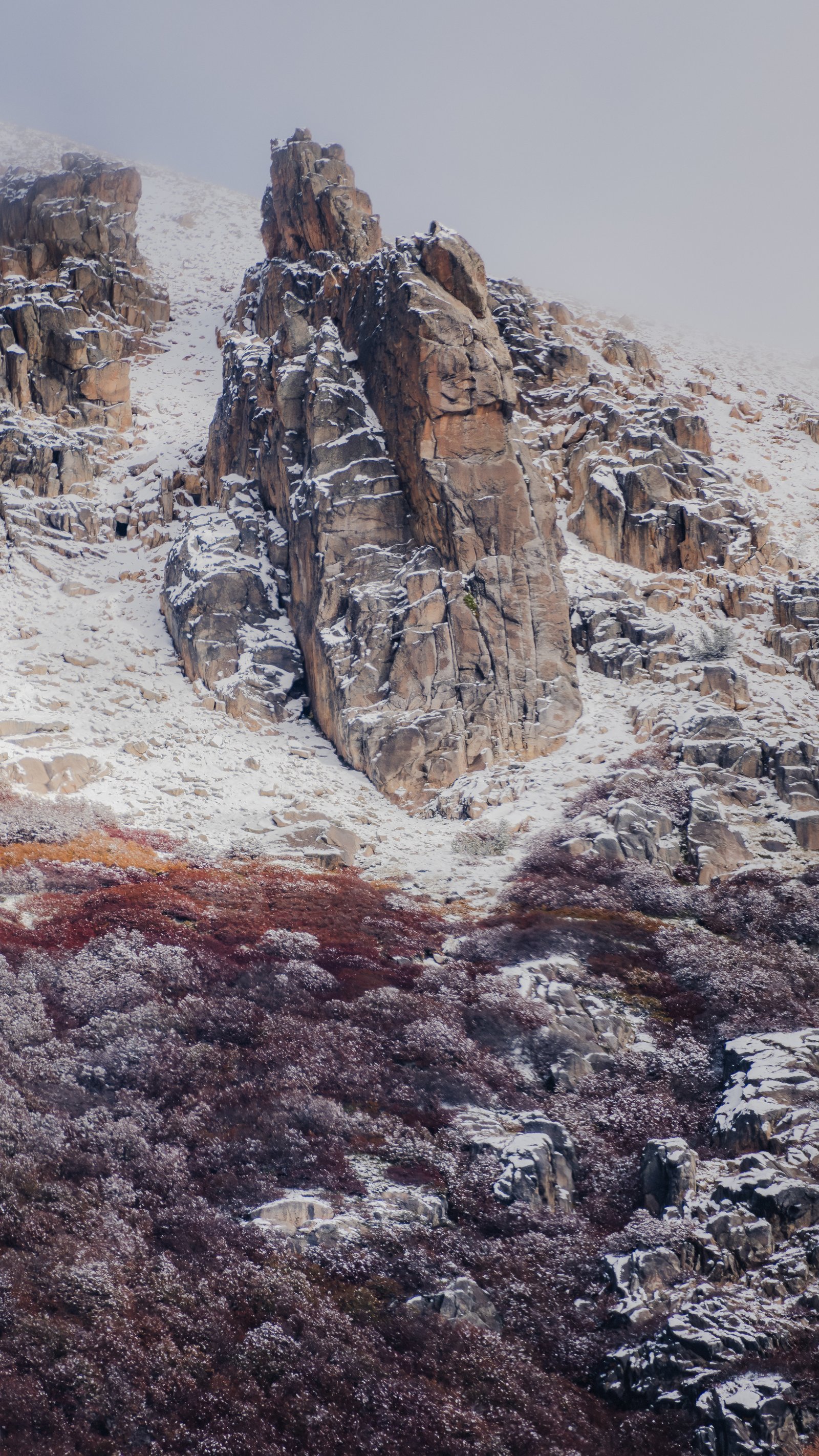
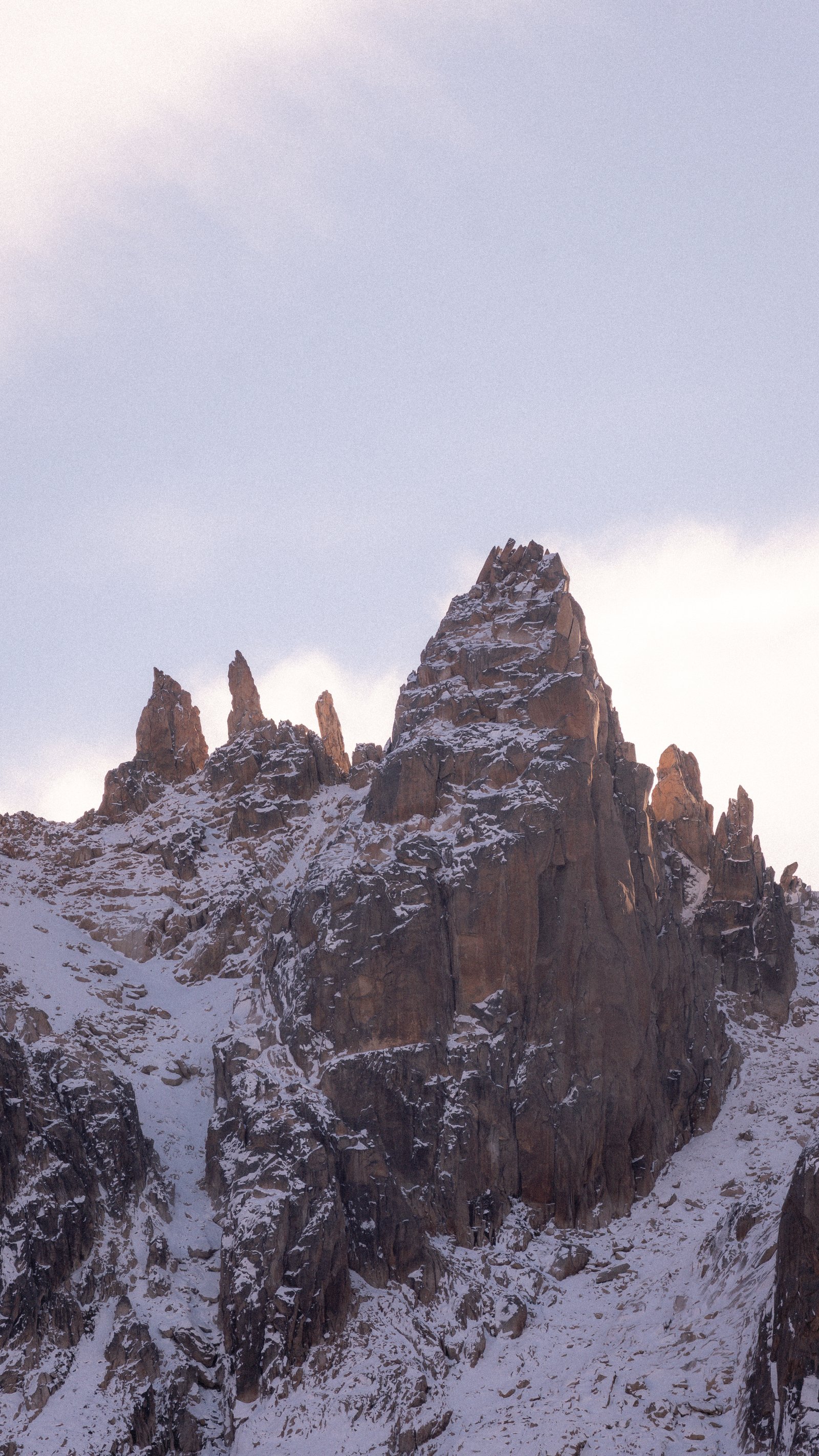
Overcast granite pinnacle. Red-purple autumn scrub dusted with snow at the base.
Granite towers against a soft pink sky, fresh snow on the ridge below.
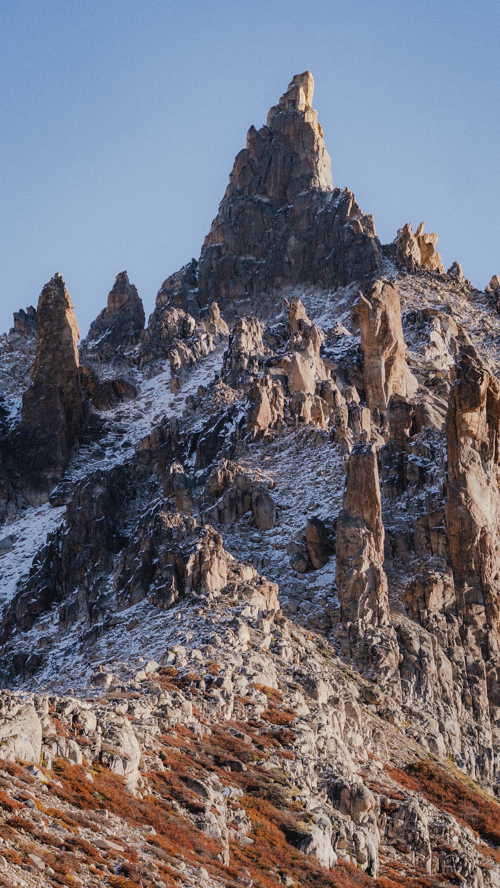
A cluster of granite spires against a clear blue sky, snow lodged between the rocks.
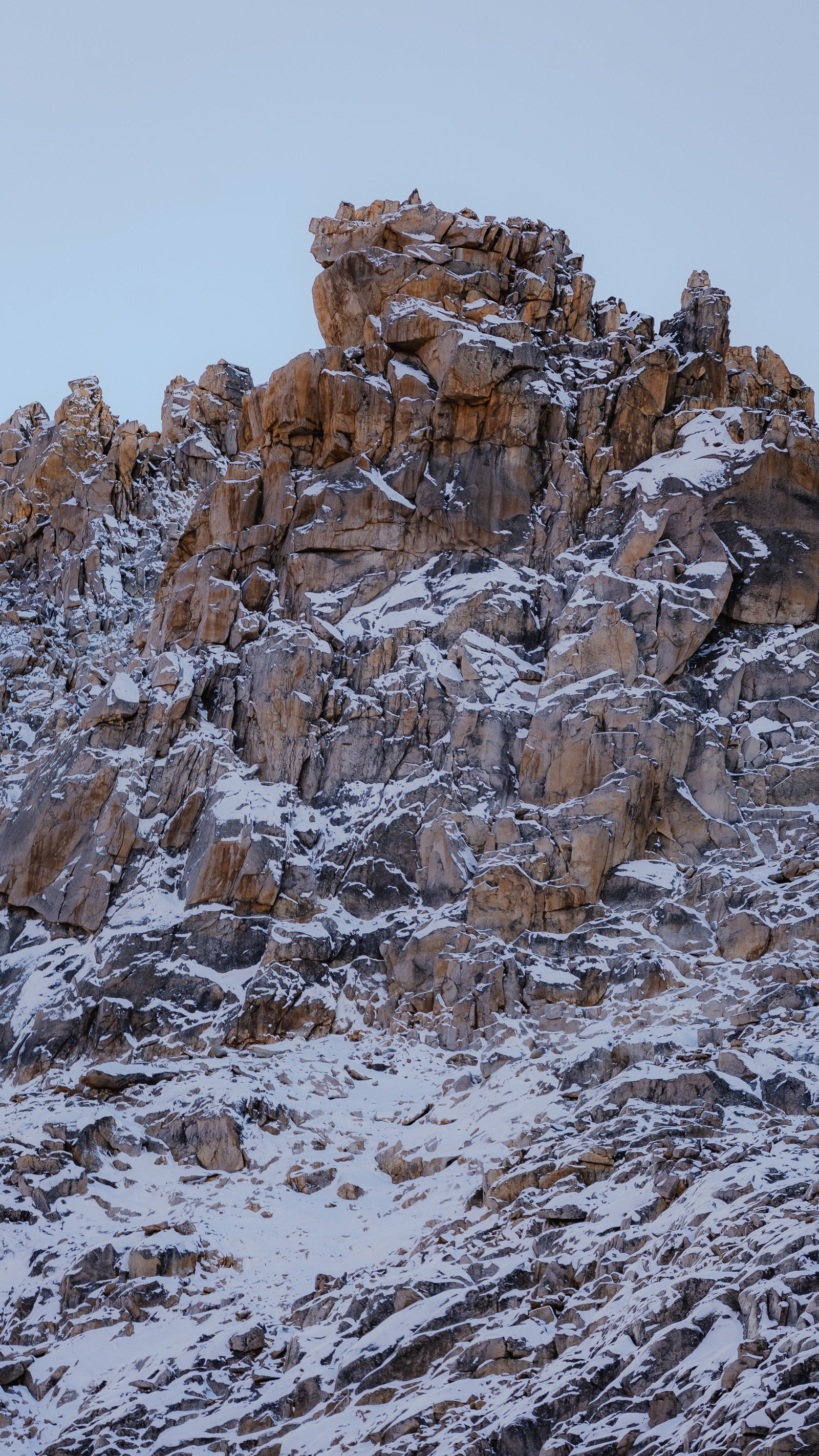
Snow-dusted granite blocks at close range under a clear blue sky.
Laguna Frey
3 photographsLaguna Frey sits in a granite cirque at 1,700 metres, at the foot of the pinnacles. In autumn the water reflects the towers above. In early winter the first snow reaches the boulders on the shore. Three frames from the same cirque.
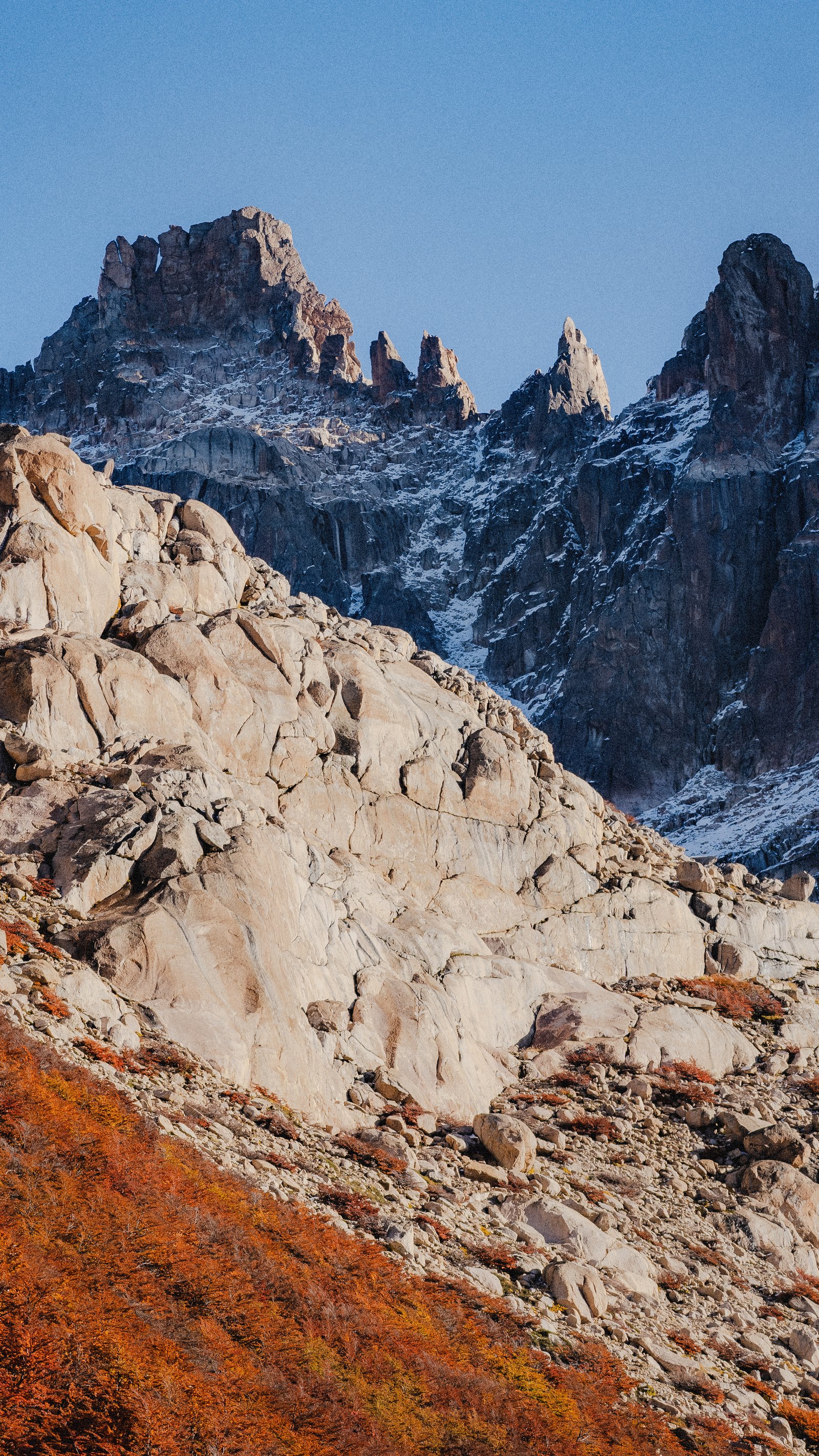
Pale granite boulders in the foreground, the dark towers rising beyond under a clear sky.
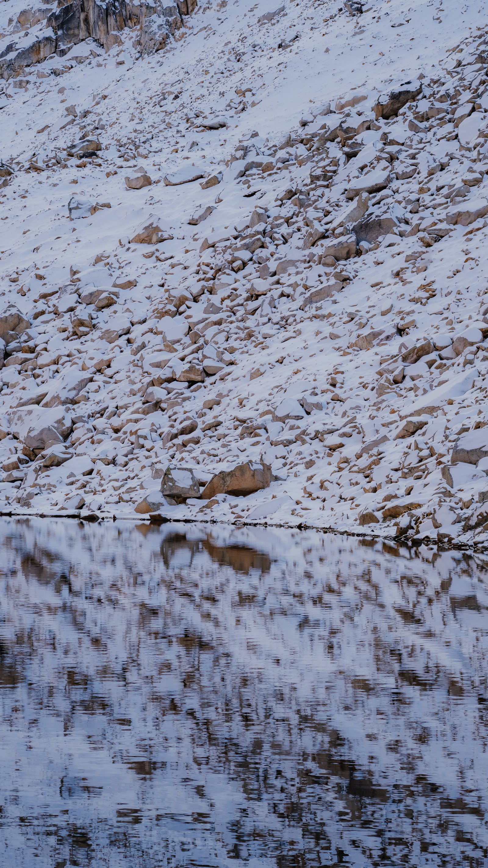
First snow on the boulders, reflected in the still water. Laguna Frey.
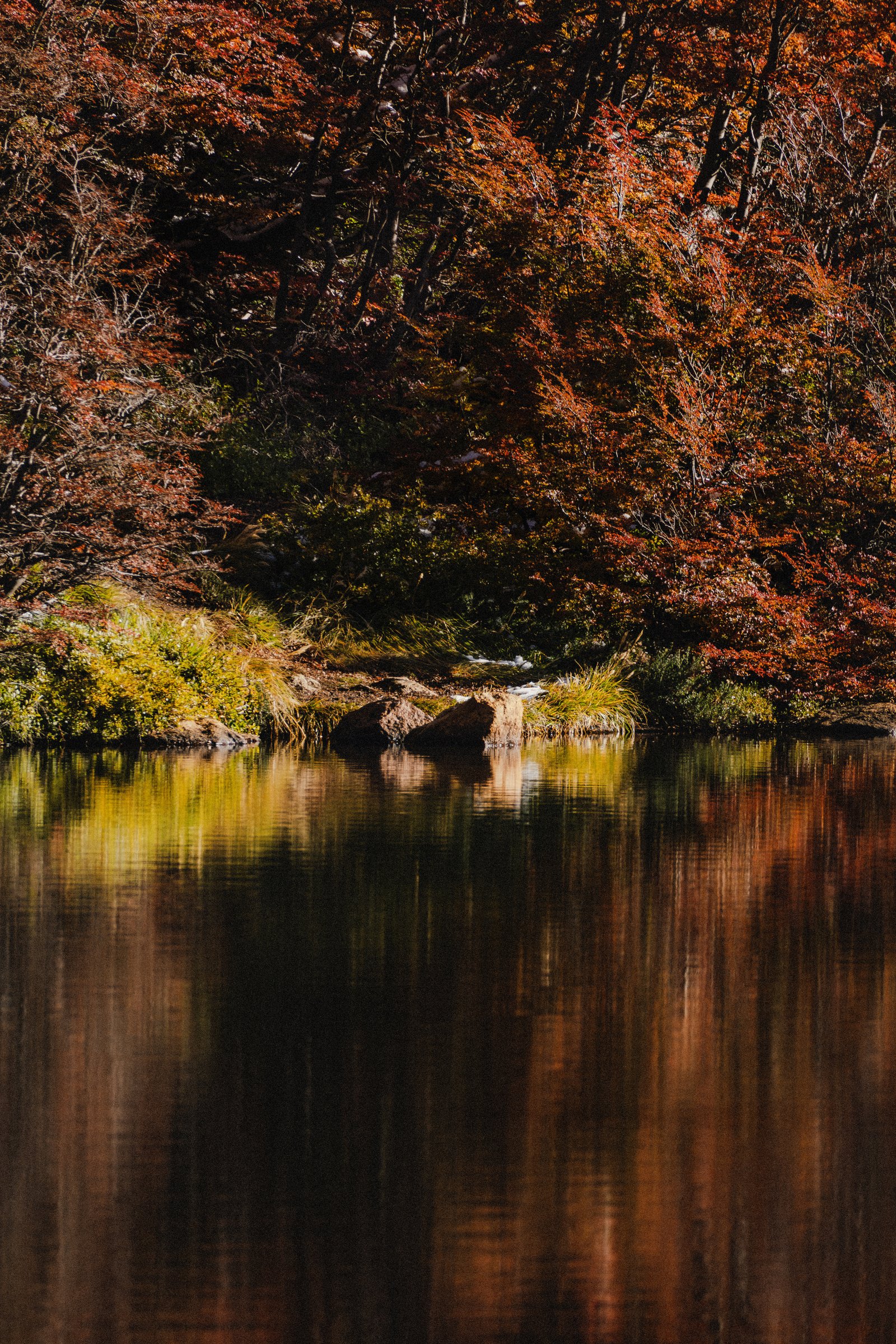
Autumn lenga doubled in the water. Orange above, orange below.
Yosemite
Granite walls, snowmelt waterfalls, and the largest exposed monolith on Earth.
14 photographs · 5 sequences
Yosemite Valley is 11 kilometres long and enclosed by granite walls rising 900 metres from the valley floor. The challenge is not finding the landscape but moving past the obvious frames into something less seen. These 14 photographs were made in autumn and winter: the Wawona Tunnel at both ends, the forest in monochrome, El Capitan from Cook's Meadow at first frost, the falls at different hours and scales, and Half Dome from above the valley.
The Approach
2 photographsYosemite Valley does not reveal itself gradually. The Wawona Tunnel cuts through solid granite for a kilometre, and then the valley opens all at once. These two frames hold the moment of transition: from inside the tunnel, the orange glow of the lamps against absolute darkness, and from outside, the stone arch framing the road as it bends into the canyon.
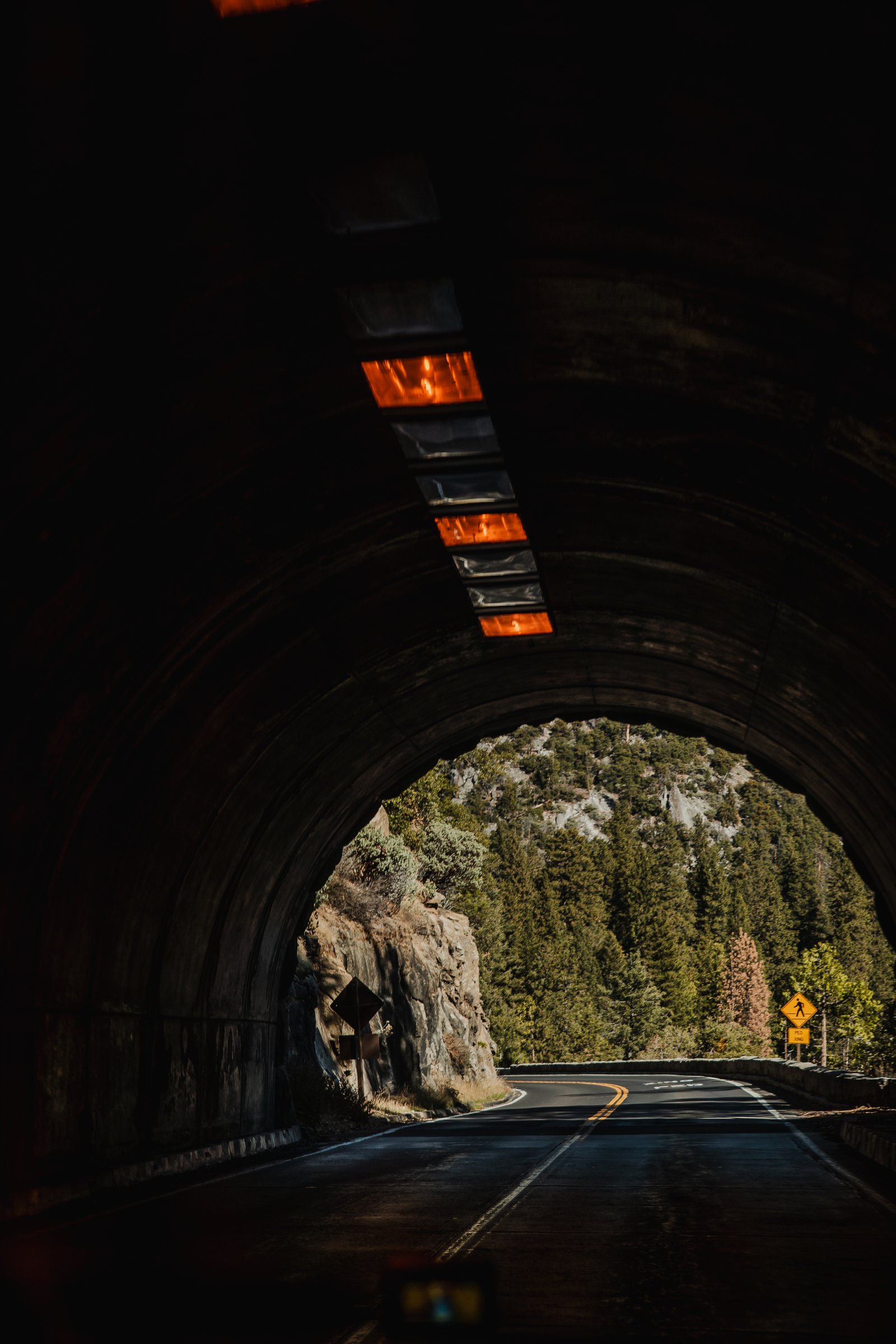
Inside the Wawona Tunnel. Orange lamps illuminate the vault above the empty road.
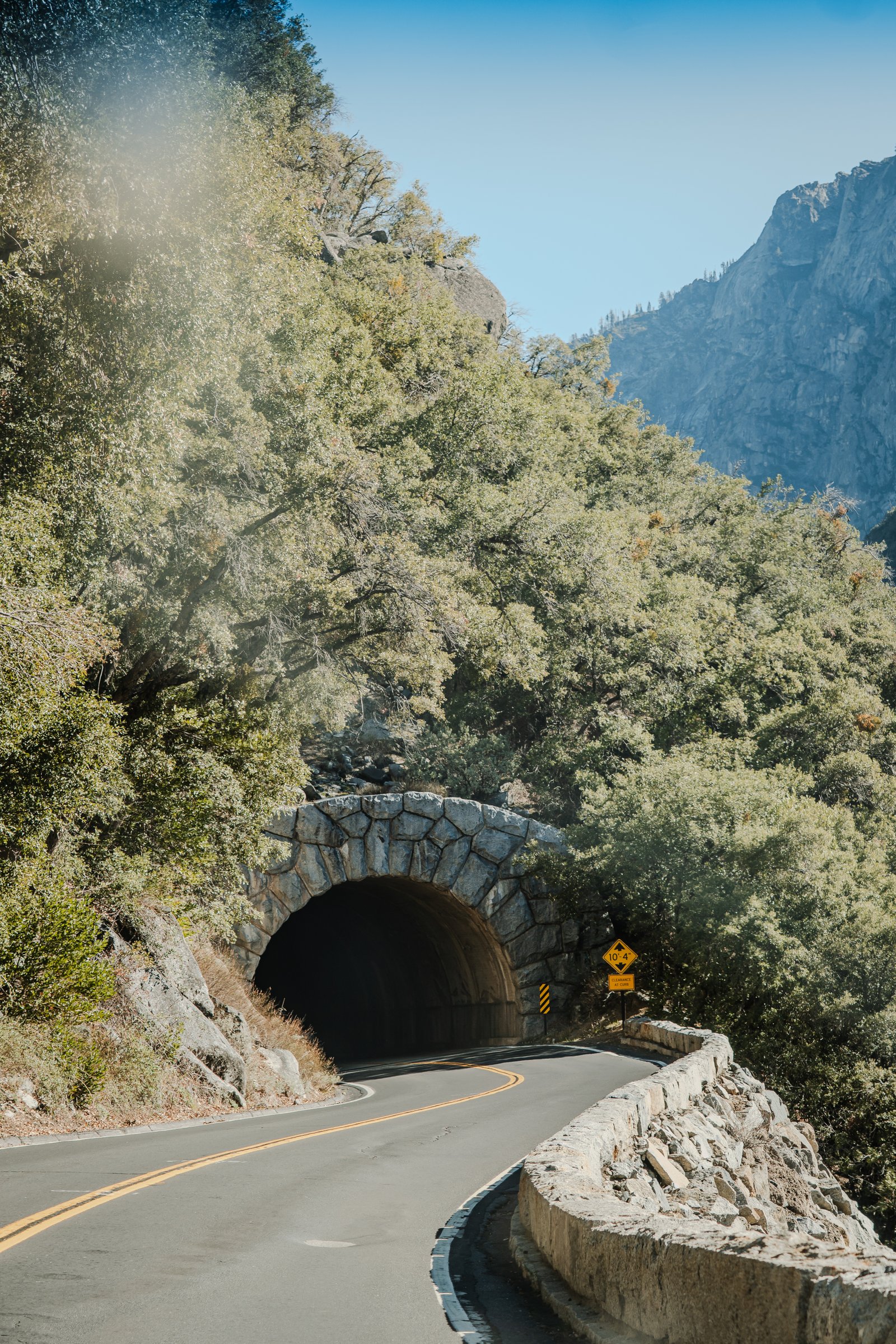
The Wawona Tunnel east portal. The stone arch frames the road as it curves into the valley.
The Forest
3 photographsThe valley floor gets the crowds. The forest on the way up gets the silence. Three frames from that zone: a cut log in black and white, the canyon walls receding into mist, and the valley seen through autumn oak in full yellow.
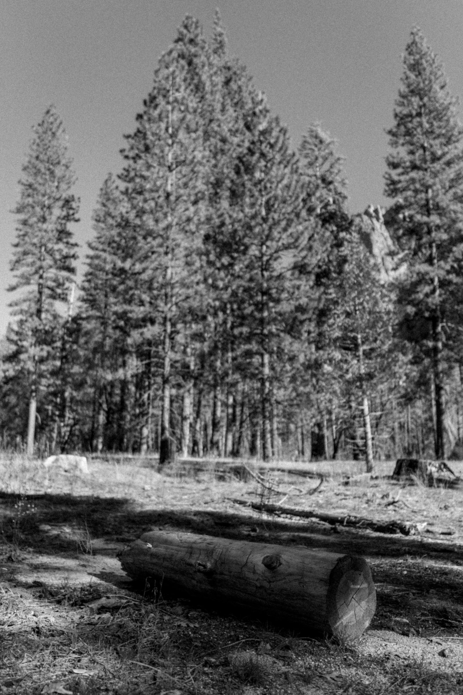
A cut log on the forest floor beneath tall pines, in black and white.
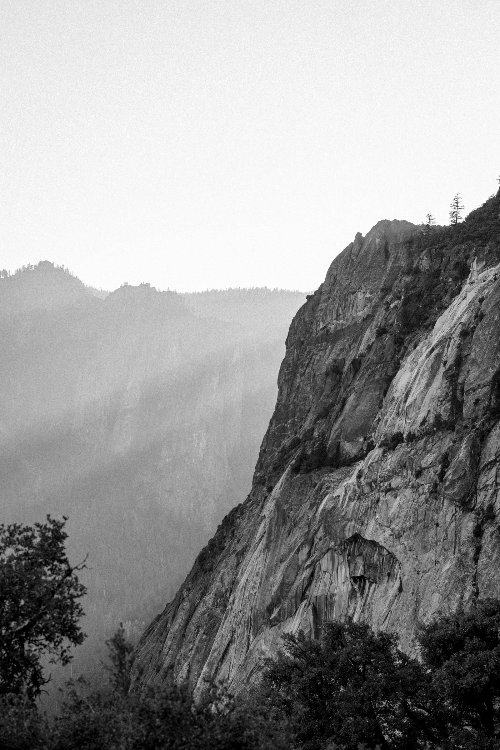
The granite walls of Yosemite in morning mist. Monochrome layers receding into the valley.
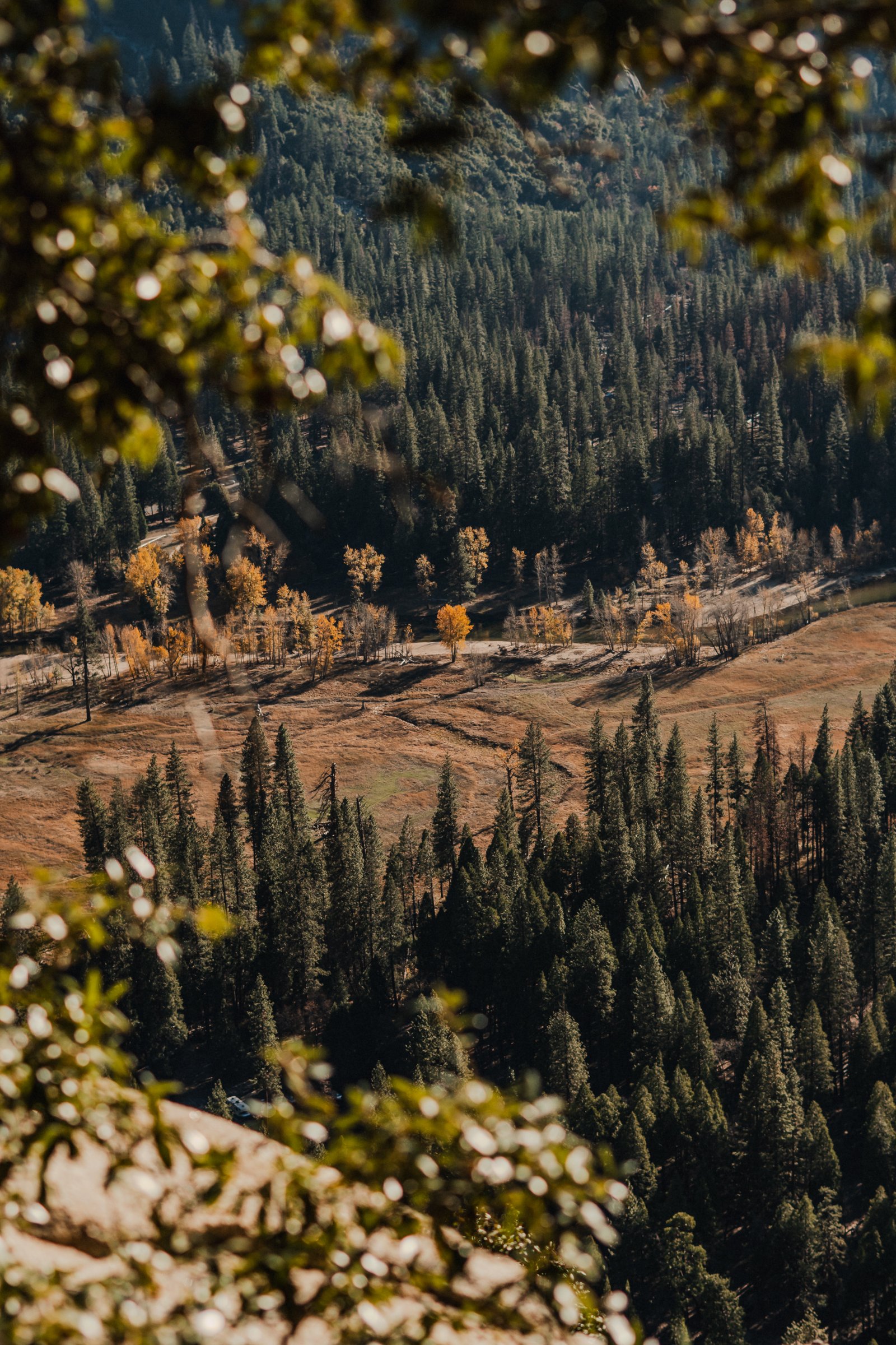
The valley floor seen through autumn oak leaves. Yellow bokeh, golden cottonwood below.
El Capitan
3 photographsEl Capitan is 900 metres of sheer granite. Cook's Meadow is the one place in the valley where you can see the whole face at once. These three frames were made from that meadow in different seasons: frost in January, bare branches in winter, autumn cottonwood in October. Same spot, same wall, different light.
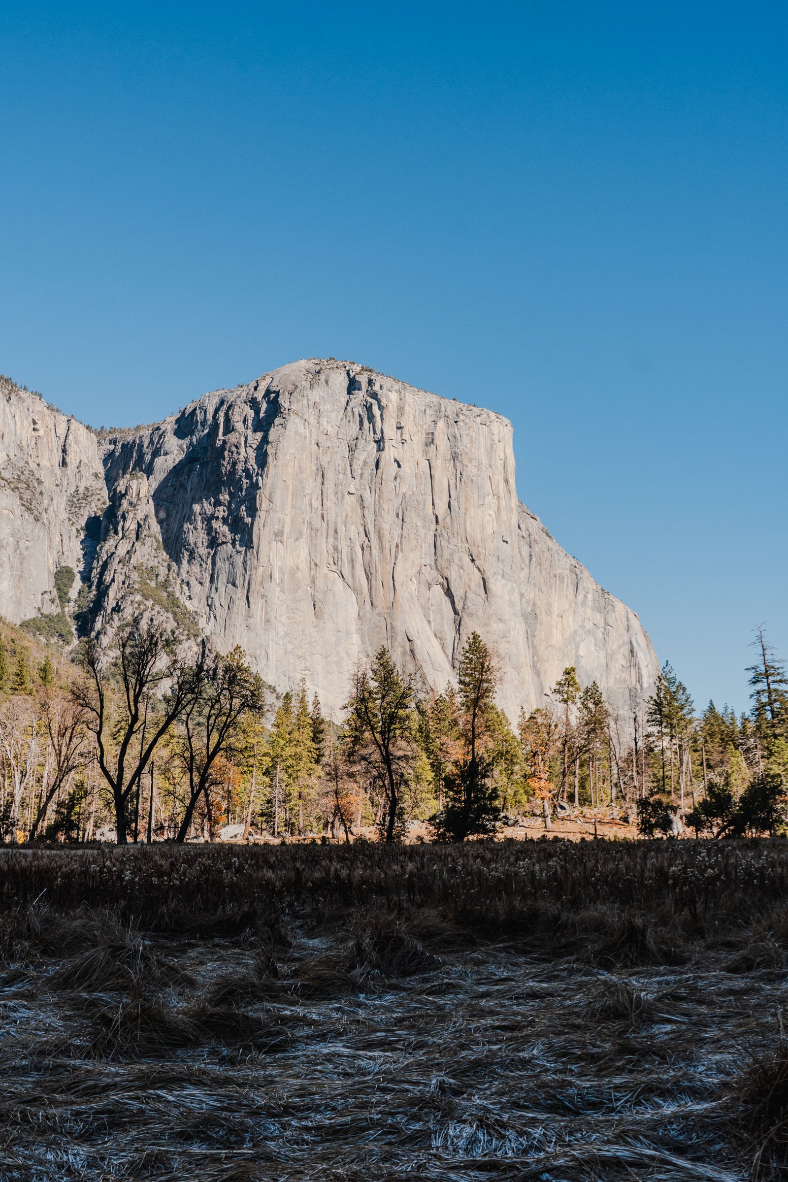
El Capitan from Cook's Meadow. Frost on the valley grass, blue sky above the summit.
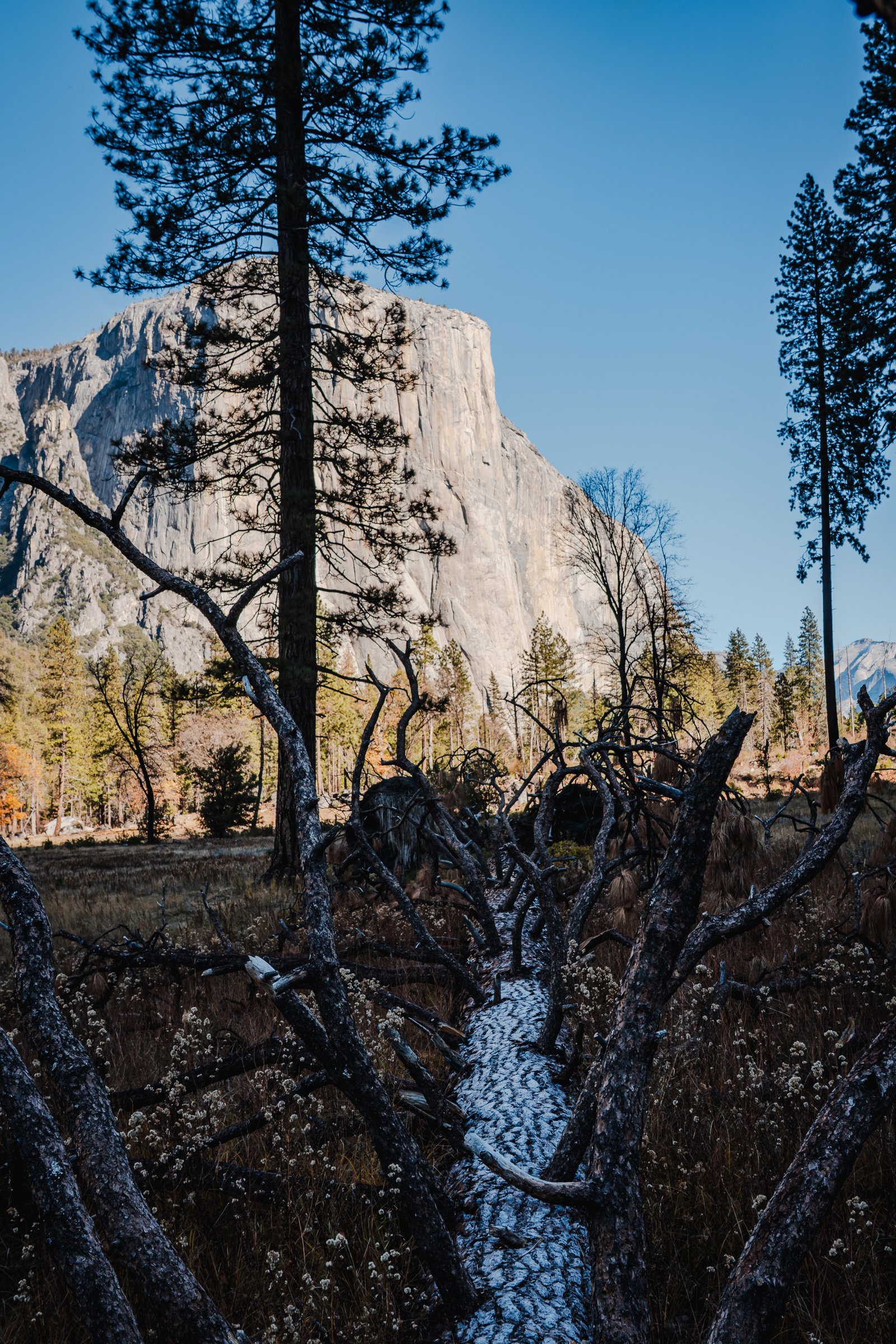
El Capitan framed by bare winter branches. The monolith behind the tangle of the meadow.
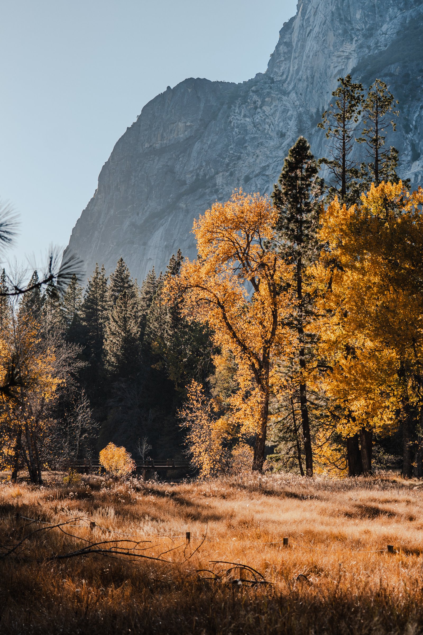
Golden cottonwoods and pines on the valley floor, a granite wall rising behind them.
The Falls
4 photographsIn winter the falls slow to almost nothing. In spring they come back with the snowmelt and you can hear them from across the valley. Four frames at different scales: a thin fall on a dark granite wall, a ribbon of water on pale rock, the upper falls close up on warm granite, and a smaller fall in a shadowed gorge with pines lit at the base.
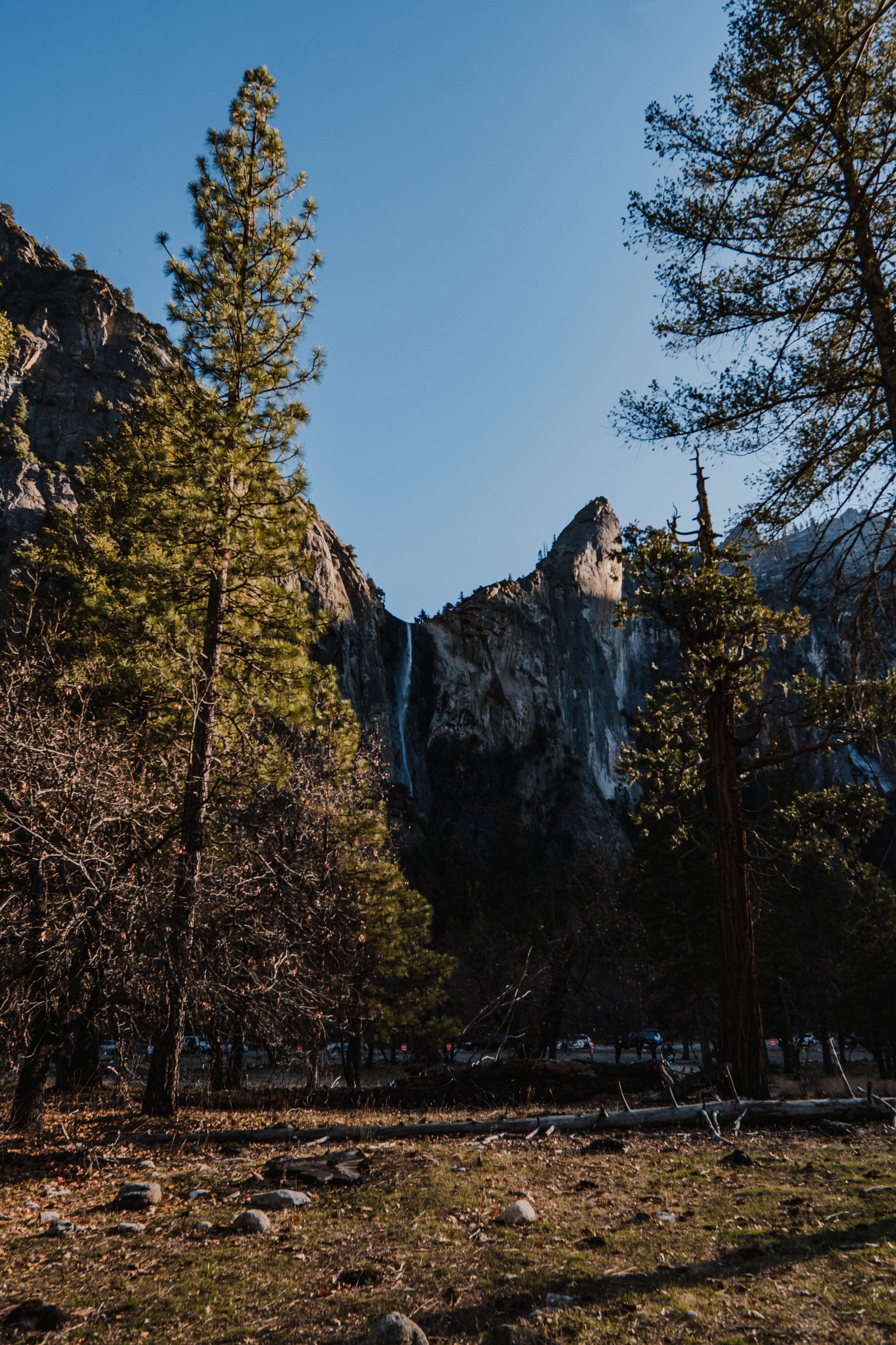
A thin waterfall on a dark granite wall, framed by pines at the edge of the meadow.
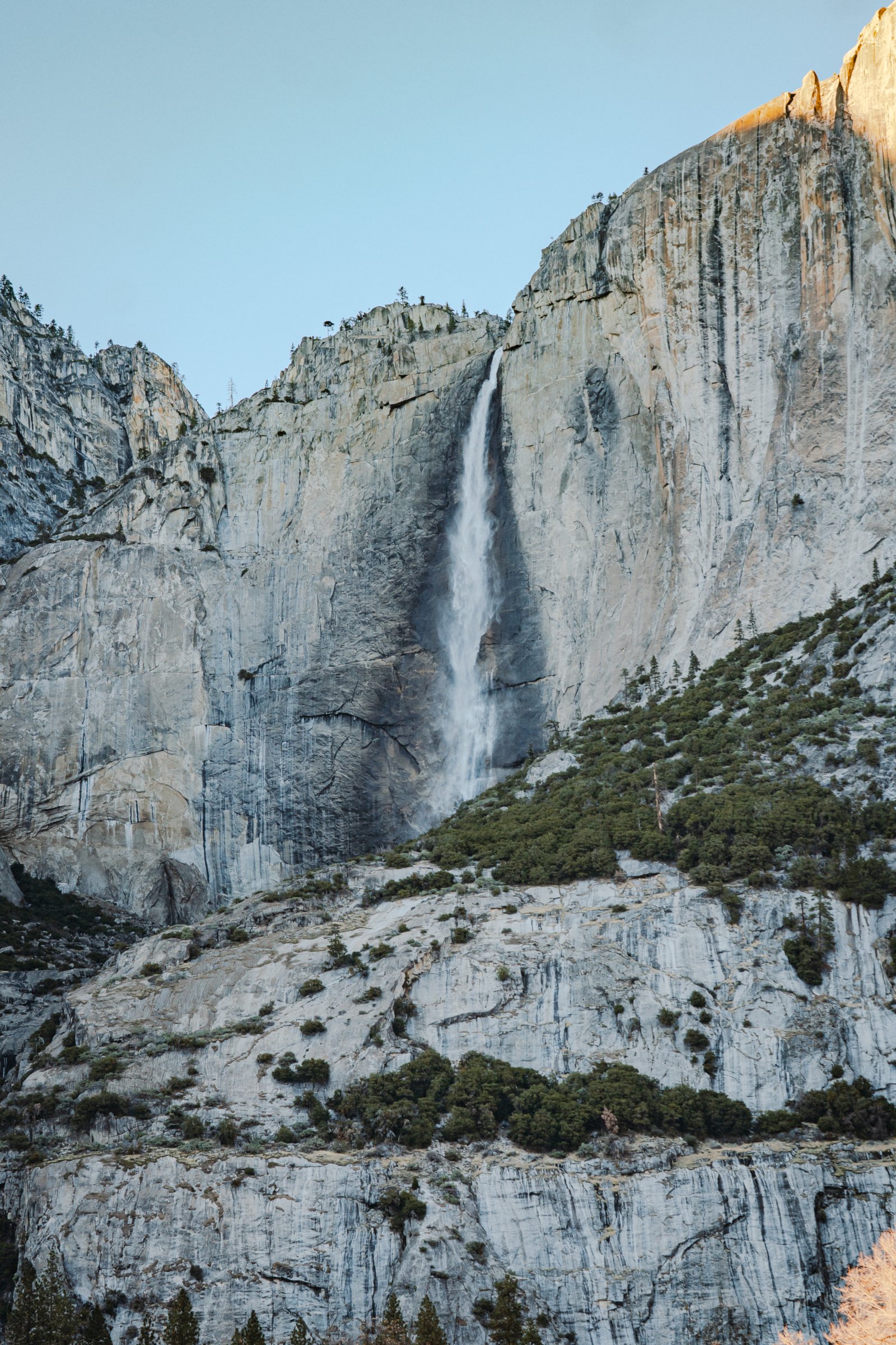
A waterfall ribbon down pale granite, the cliffs stepping down to the forest below.
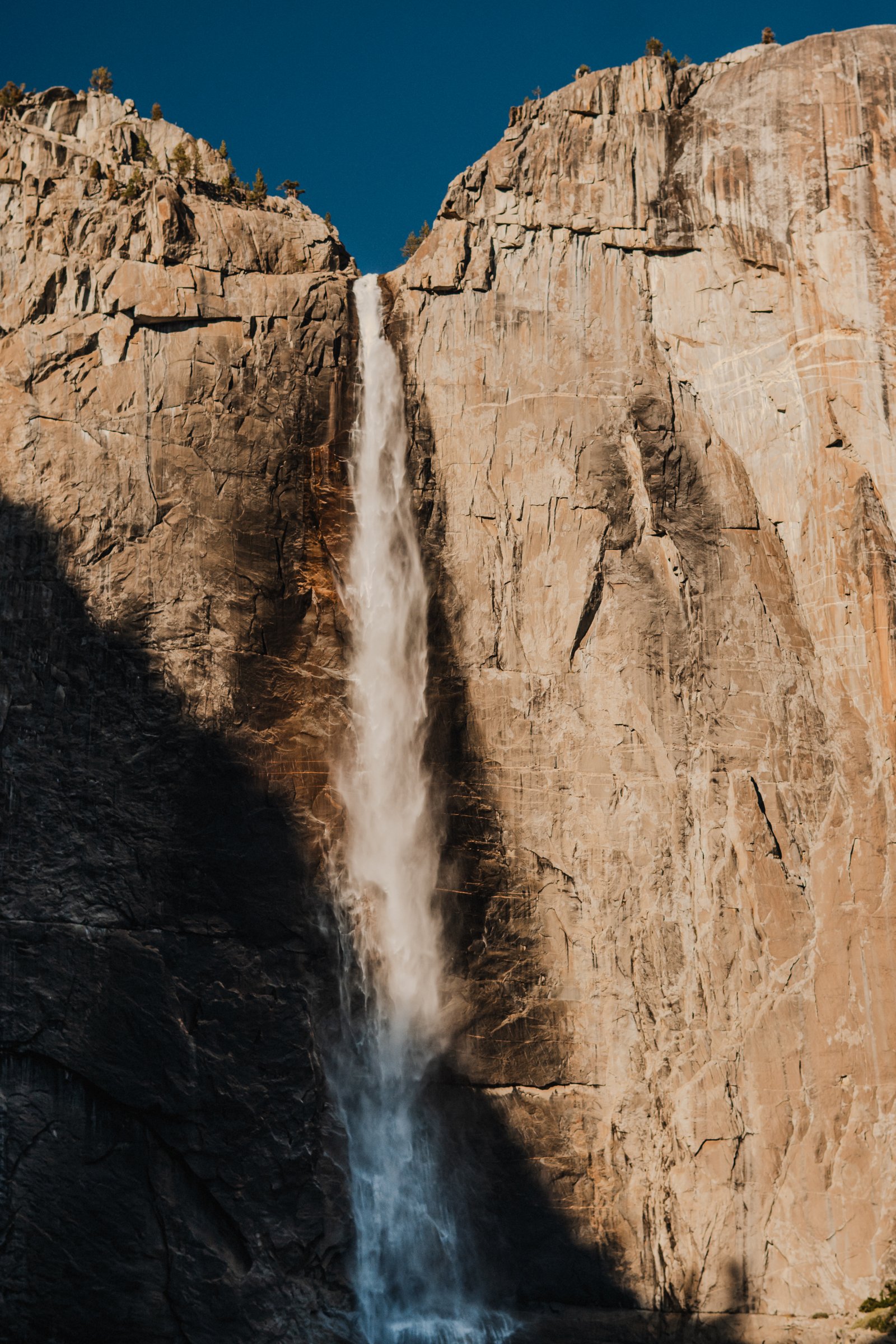
Upper Yosemite Falls on warm granite. The fall cuts between two walls of orange stone.
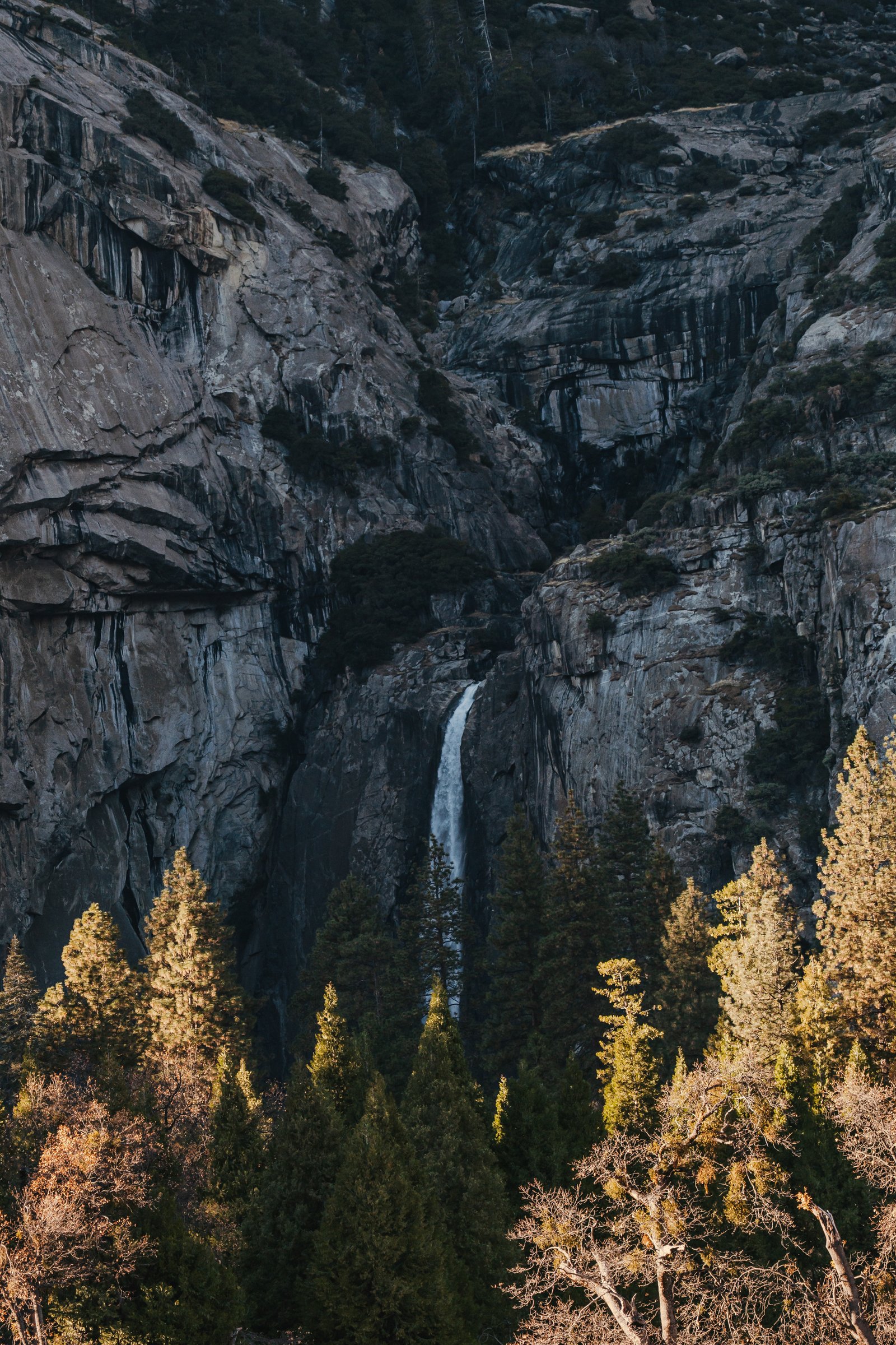
A thin waterfall drops through a shadowed granite gorge, sunlit pines at the bottom.
Half Dome
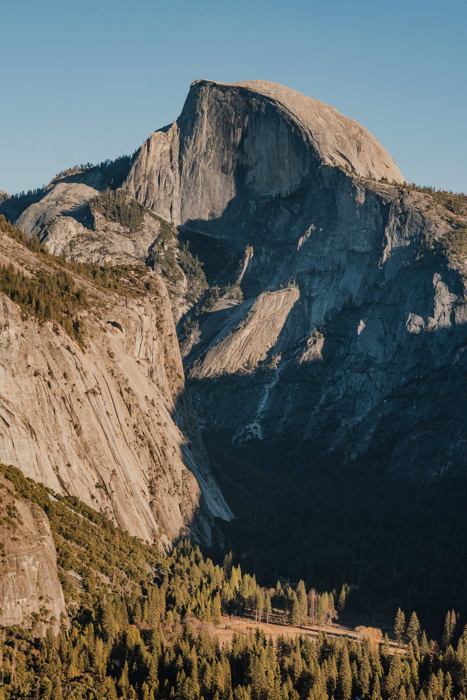
2 photographsFrom Glacier Point you're at 2,199 metres looking at Half Dome at 2,693, with the valley almost 1,000 metres below you. The northwest face is sheer but from this angle it reads as a dome. The afternoon light on it is very good. Two frames as the light drops: the dome itself, and a canyon wall already in shadow.
Half Dome in afternoon sun, the valley dropping away below it.
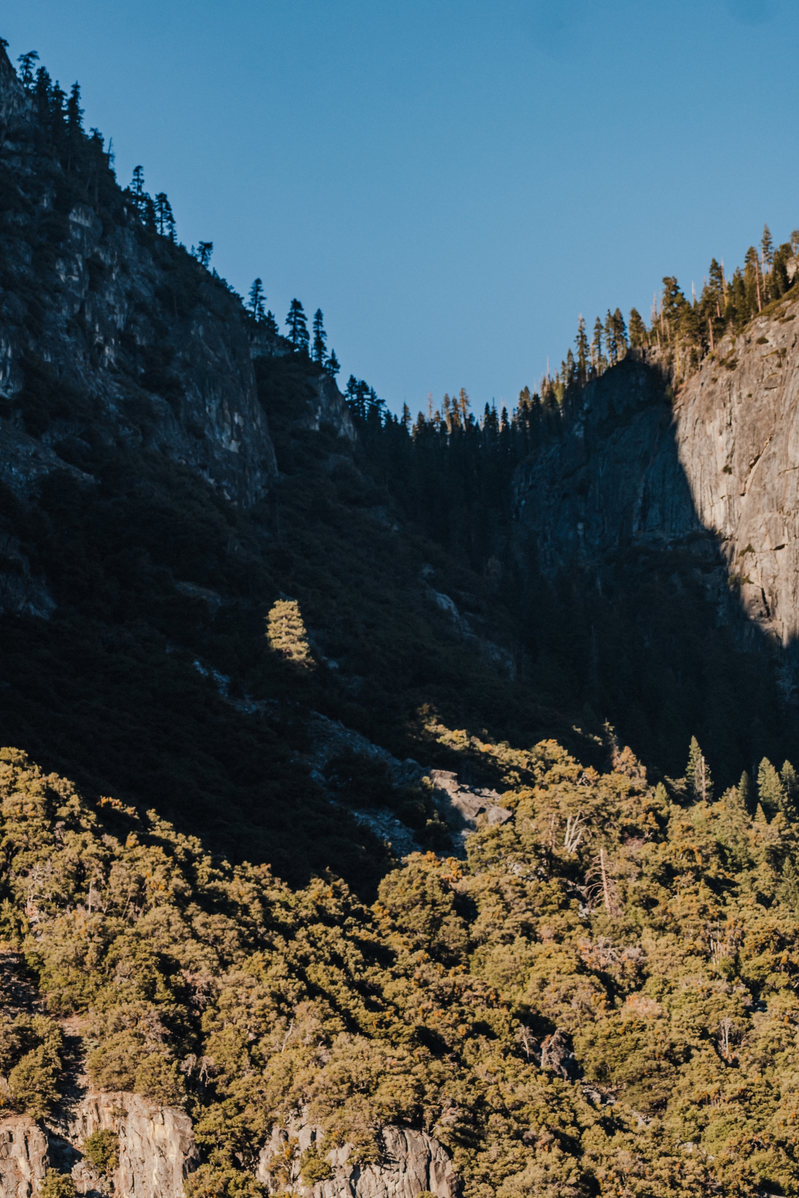
A canyon wall in deep shadow, the last sun on the trees below and clear sky above.